A method for identification of ecological space damage in urban agglomerations
A method of identification, technology of urban agglomeration, applied in the field of environmental science
- Summary
- Abstract
- Description
- Claims
- Application Information
AI Technical Summary
Problems solved by technology
Method used
Image
Examples
Embodiment 1
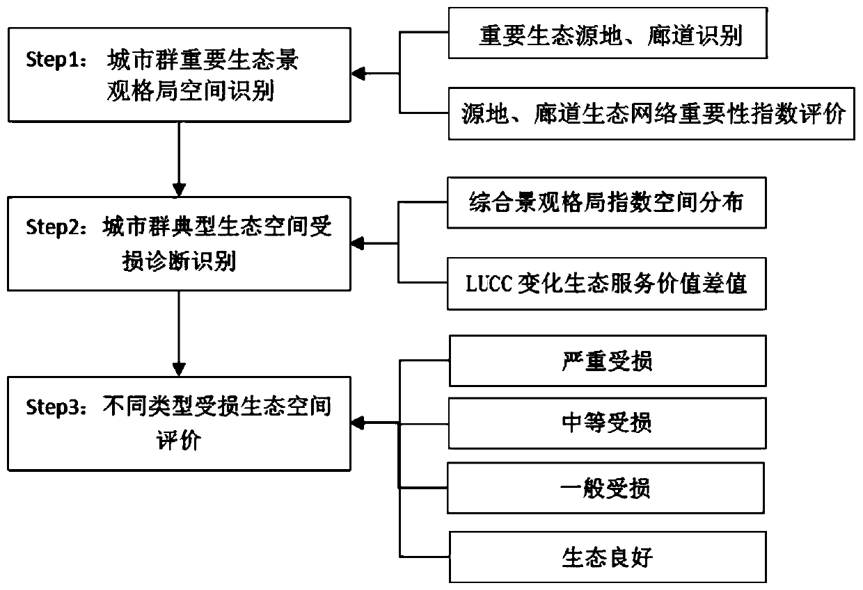
[0062] Embodiment 1 A method for identifying and evaluating damage to urban agglomeration ecological space, comprising:
[0063] Step 1 Identification of important ecological space landscape pattern of urban agglomeration
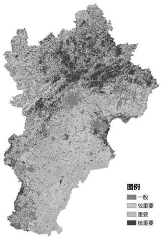
[0064] Including the identification of important value areas of ecosystem services, identification of important urban green spaces and water system patches, and identification of nature reserves;
[0065] Step 2: Diagnosis and identification of ecological space damage in urban agglomerations
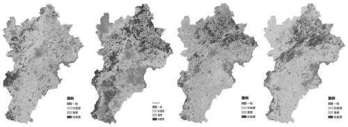
[0066] Firstly, a 20km×20km fishing net grid is established for the urban agglomeration’s land use to cover the whole area, and the landscape pattern index inside different grids is calculated using the landscape pattern comprehensive index calculation formula respectively, and the landscape pattern comprehensive index value of different grids is obtained , and finally use the spatial analysis tool in ArcGIS10.5 software to interpolate the calculated values to obta...
PUM
 Abstract
Description
Claims
Application Information
 - R&D
- Intellectual Property
- Life Sciences
- Materials
- Tech Scout
- Unparalleled Data Quality
- Higher Quality Content
- 60% Fewer Hallucinations
Browse by: Latest US Patents, China's latest patents, Technical Efficacy Thesaurus, Application Domain, Technology Topic, Popular Technical Reports.
© 2025 PatSnap. All rights reserved.Legal|Privacy policy|Modern Slavery Act Transparency Statement|Sitemap|About US| Contact US: help@patsnap.com


