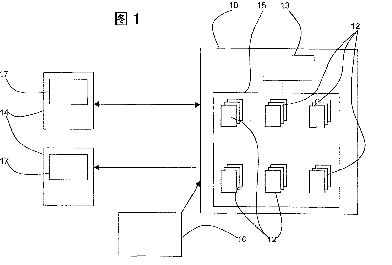

Navigation system

A navigation system and a series of technologies are applied in the field of navigation systems and can solve problems such as the limitation of telephone data volume and capacity.

Active Publication Date: 2011-10-12
KYNDRYL INC
View PDF6 Cites 0 Cited by
  • Summary
  • Abstract
  • Description
  • Claims
  • Application Information

AI Technical Summary

Problems solved by technology

Until such 3G phones are available and widely used, there is a capacity limit on the amount of data that can be sent to the phone

Method used


Image

  • Navigation system
  • Navigation system
  • Navigation system

Examples


example

[0080] The following is an example of use of the navigation system.

[0081] A tourist is in London and wants to go to Buckingham Palace. The tourist sends a text message from his mobile phone to the service provider requesting a series of images to help him find Buckingham Palace. He indicated that he was walking and starting from Charring Cross tube station.

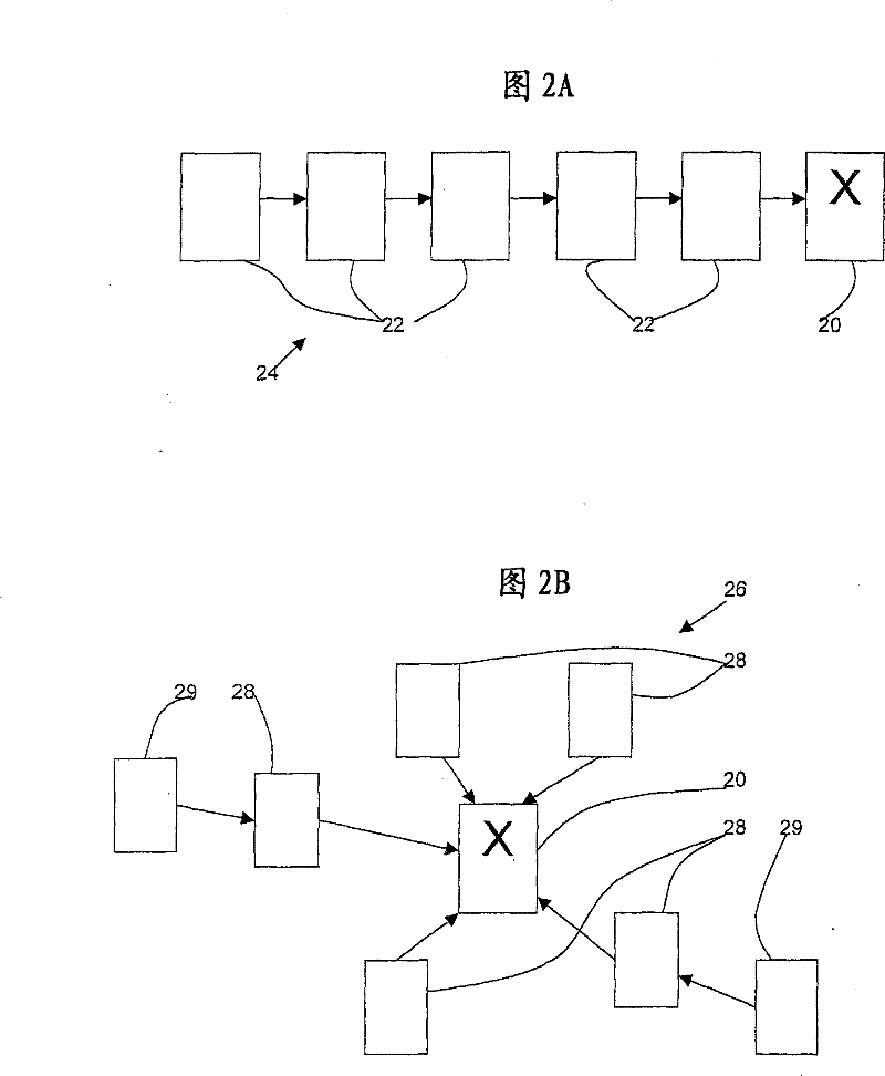
[0082] In one form, a linear series of images is provided.

[0083] 1. The first image is the subway sign for Charring Cross.

[0084] 2. The second image is of Nelson’s Column in the center of Trafalgar Square. There are a number of exits from Charring Cross station, and it does not matter which of these exits the visitor chooses, since as soon as he is on the ground he will be able to get to Nelson's Column by looking.

[0085] 3. The third image is Admiralty Arch. Standing under Nelson's Column, visitors can look around to see the Naval Arch and identify it from the photographic images they receive. If a visit...


PUM


Abstract

A navigation system is provided in which a mobile device (14) has a data receiving means capable of receiving images and an image display means (17), for example a mobile telephone with MMS capability for receiving an viewing images, A server (10) has a store of a plurality of images (12), each image representing a location and more than one image (12) being compilable to define a route between locations. The server has means for receiving a request and means for sending a series of images (12) to the receiving means of the mobile device (14). The store of the plurality of images (12) is keyed on locations of the images and a request specifies a location.

Description

technical field [0001] The invention relates to the field of navigation systems. Specifically, the present invention relates to personal navigation using mobile devices. Background technique [0002] Personal navigation methods have evolved considerably in recent years. Previously, when people were trying to find a location in an area they didn't know, they could use a map if it was available, or they could ask someone for directions. When giving directions, people often refer to obvious landmarks to help describe the route and help road seekers recognize whether they are on the right road. [0003] Electronic navigation systems have been developed that use coordinates referenced to the Global Positioning System (GPS). The Global Positioning System (GPS) is a satellite-based system that provides continuous location data around the globe. It is widely used in navigation systems because it provides the receiver with very precise position data in the form of longitude and l...

Claims


Application Information

Patent Timeline
Patent Type & Authority Patents(China)
IPC IPC(8): G01C21/36
CPCG01C21/3644G01C21/3647G08G1/0968
Inventor I·休斯
Owner KYNDRYL INC
Learn More