Method and apparatus for performing wide area terrain mapping
a wide-area, terrain mapping technology, applied in the field of imaging systems, can solve the problems of large labor intensity, high cost of scanning lidar instruments, and high cost of process
- Summary
- Abstract
- Description
- Claims
- Application Information
AI Technical Summary
Problems solved by technology
Method used
Image
Examples
Embodiment Construction
[0017]The present invention is a method and apparatus for performing wide area terrain mapping using a combination of LIDAR and video technology within a single platform.
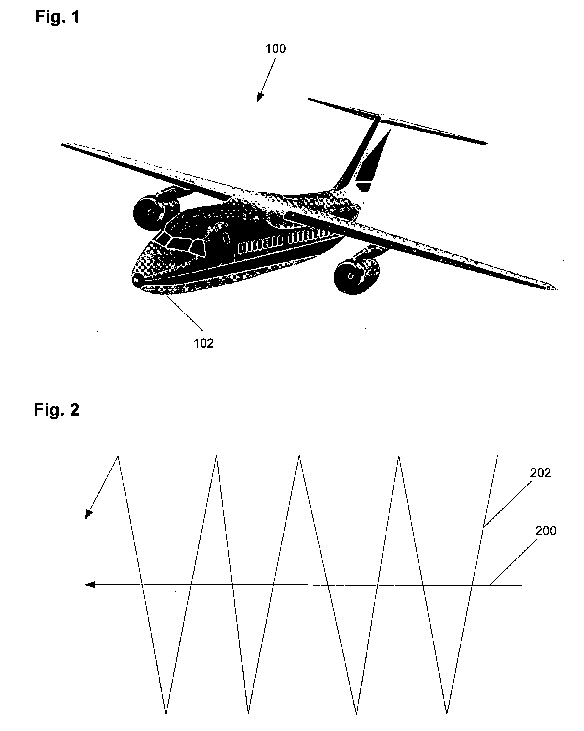
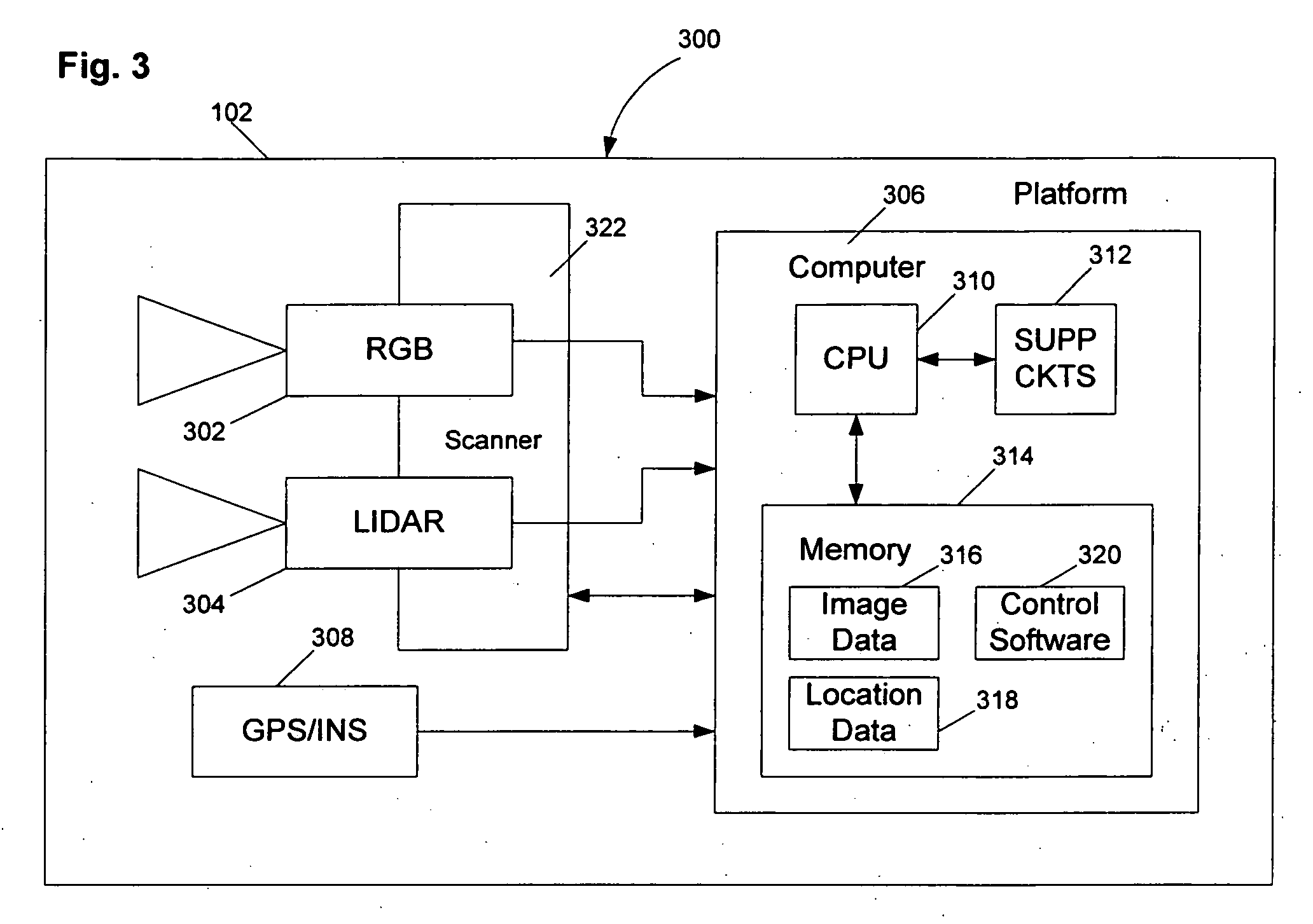
[0018]FIG. 1 depicts an aerial platform 100 that carries a sensor suite 102 that performs aerial imaging of objects on the ground. The platform 100 may be a manned airplane or helicopter, or the platform 100 may be an unmanned aerial vehicle (UAV). Whatever form the platform takes, the suite 100 is used to collect range data, video imagery, and metadata comprising the location of the platform (e.g., Universal Transverse Mercator (UTM) coordinates) and the orientation of the sensor suite 102 (e.g., a scan angle). This information is stored within the sensor suite 102 for subsequent processing. Of course, the information could also be transmitted to a ground station (not shown) for processing.
[0019]FIG. 2 depicts a flight path 200 that is flown by the aerial platform while the sensor suite 102 is performing a scan pat...
PUM
 Abstract
Description
Claims
Application Information
 - R&D
- Intellectual Property
- Life Sciences
- Materials
- Tech Scout
- Unparalleled Data Quality
- Higher Quality Content
- 60% Fewer Hallucinations
Browse by: Latest US Patents, China's latest patents, Technical Efficacy Thesaurus, Application Domain, Technology Topic, Popular Technical Reports.
© 2025 PatSnap. All rights reserved.Legal|Privacy policy|Modern Slavery Act Transparency Statement|Sitemap|About US| Contact US: help@patsnap.com


