
Overall Symbolization Method of Road Network Based on Painter's Algorithm

A road network and symbolization technology, applied in the direction of drawing from basic elements, can solve problems such as road network symbol conflicts, and achieve the effect of rapid symbolization

Inactive Publication Date: 2011-12-21
NANJING NORMAL UNIVERSITY
View PDF2 Cites 0 Cited by
  • Summary
  • Abstract
  • Description
  • Claims
  • Application Information

AI Technical Summary

Problems solved by technology

[0005] The purpose of the present invention is to solve the conflict problem in the rendering of road network symbols in the map, provide a method for the overall symbolization of road network based on the painter's algorithm, and realize the rapid and automatic rendering of road network symbols

Method used


Image

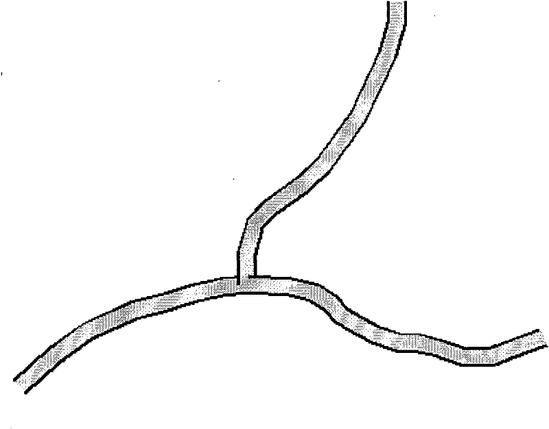
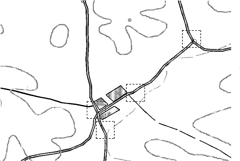
  • Overall Symbolization Method of Road Network Based on Painter's Algorithm
  • Overall Symbolization Method of Road Network Based on Painter's Algorithm
  • Overall Symbolization Method of Road Network Based on Painter's Algorithm

Examples


Embodiment 1

[0027] The overall symbolization method of the road network based on the painter's algorithm includes the following steps:

[0028] Step 1: deconstruct linear map symbols;

[0029] Step 2 defines the drawing logic of linear symbol primitives based on color perception;

[0030] Step 3 classifies the target geographic data;

[0031] Step 4 Overall rendering of map symbols based on symbol drawing order.

[0032] More specific implementation steps are as follows:

[0033] Step 1. According to composition rules such as horizontal arrangement and vertical stacking of linear symbols, decompose the linear symbols into several basic graphic elements. A primitive is the basic unit of a map symbol. Any complex symbol can be decomposed into a limited number of basic primitives, and these basic primitives are superimposed to form the entire symbol. Taking the road network as an example, the road symbol has parallel black lines on both sides and gray in the middle, so the road symbol ca...


PUM


Abstract

The invention discloses a road network overall drawing method based on the painter's algorithm, which includes four aspects, including deconstruction of linear map symbols, logical definition of linear symbol graph element drawing based on color perception, classification of target geographic data, and overall rendering of map symbols based on symbol drawing order. a technical link. According to the painter's algorithm, the linear symbol primitives colored later will cover the linear symbol primitives colored first, and the spatial data is drawn using the rendering logic based on the color order of the primitives instead of the traditional drawing logic based on the element order, and the symbolized results It cleverly conforms to the symbolization regulations of the road network in the relevant legend, especially at the intersection of the road network without special treatment. The invention can realize rapid drawing of the road network conforming to legend specifications without changing the original spatial data and without additional manual editing operations.

Description

technical field [0001] The present invention relates to the fields of geographic information system (GIS), computer-aided design (CAD), computer cartography (CAC), navigation map, mobile phone map, electronic map, etc., and particularly relates to a method for using a computer to draw linear symbols such as road networks as a whole . The overall symbolization method of the road network involves the classification of spatial data, the logical definition of the drawing of linear symbol primitives, and the multi-media output of map symbols. Background technique [0002] At present, in the geographic information system (GIS), when the linear map symbols conflict, the conflicting local area symbols are processed, among which, the road network symbols are more typical. The urban road network is intricate, and its symbols are difficult to express. The traditional methods are "manual copying method" and "intersection masking method". The manual copying method requires a lot of repe...

Claims


Application Information

Patent Timeline
Patent Type & Authority Patents(China)
IPC IPC(8): G06T11/20
Inventor 吴明光沈敬伟闾国年盛业华温永宁陈泰生
Owner NANJING NORMAL UNIVERSITY
Learn More