Valley salt tide prediction method
A prediction method and technology of salt tide, which can be used in measurement devices, surveying and navigation, open-air water source survey, etc., and can solve problems such as the occurrence and degree prediction of salt tide.
- Summary
- Abstract
- Description
- Claims
- Application Information
AI Technical Summary
Problems solved by technology
Method used
Image
Examples
Embodiment Construction
[0029] The present invention will be described in further detail below in conjunction with the accompanying drawings and specific embodiments.
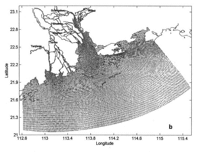
[0030] In this embodiment, the area of the mouth of the Pearl River Estuary in Guangdong Province is used as the measurement watershed.
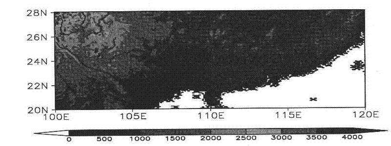
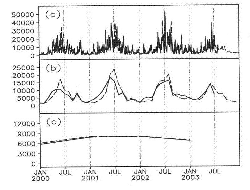
[0031] The first step is to forecast the runoff at each estuary of the Pearl River Estuary. Internationally, based on the fact that the topographic surface flow is along the direction of the steepest descent, a digital elevation model (DEM) is proposed, which can obtain a more realistic watershed runoff, so that the runoff can be measured in a more realistic, physical manner. A credible way to drive ocean circulation. The hydrological digital elevation model (H-DEM) used in this project is selected as follows figure 1 Shown is 95.00°E-120.05°E, 20.00°N-28.04°N with a latitudinal resolution of 0.05° and a meridional resolution of 0.03°. The area covers the entire Pearl River Basin. The maximum ...
PUM
 Abstract
Description
Claims
Application Information
 - R&D
- Intellectual Property
- Life Sciences
- Materials
- Tech Scout
- Unparalleled Data Quality
- Higher Quality Content
- 60% Fewer Hallucinations
Browse by: Latest US Patents, China's latest patents, Technical Efficacy Thesaurus, Application Domain, Technology Topic, Popular Technical Reports.
© 2025 PatSnap. All rights reserved.Legal|Privacy policy|Modern Slavery Act Transparency Statement|Sitemap|About US| Contact US: help@patsnap.com


