

Underground water enrichment assessment method based on remote sensing information
A groundwater and enrichment technology, applied in the field of remote sensing exploration, can solve the problems of large errors in areas rich in fissure water, achieve accurate weight distribution, overcome low quantification accuracy, and improve exploration efficiency
- Summary
- Abstract
- Description
- Claims
- Application Information
AI Technical Summary
Benefits of technology
Problems solved by technology
Method used
Image

Examples
Embodiment
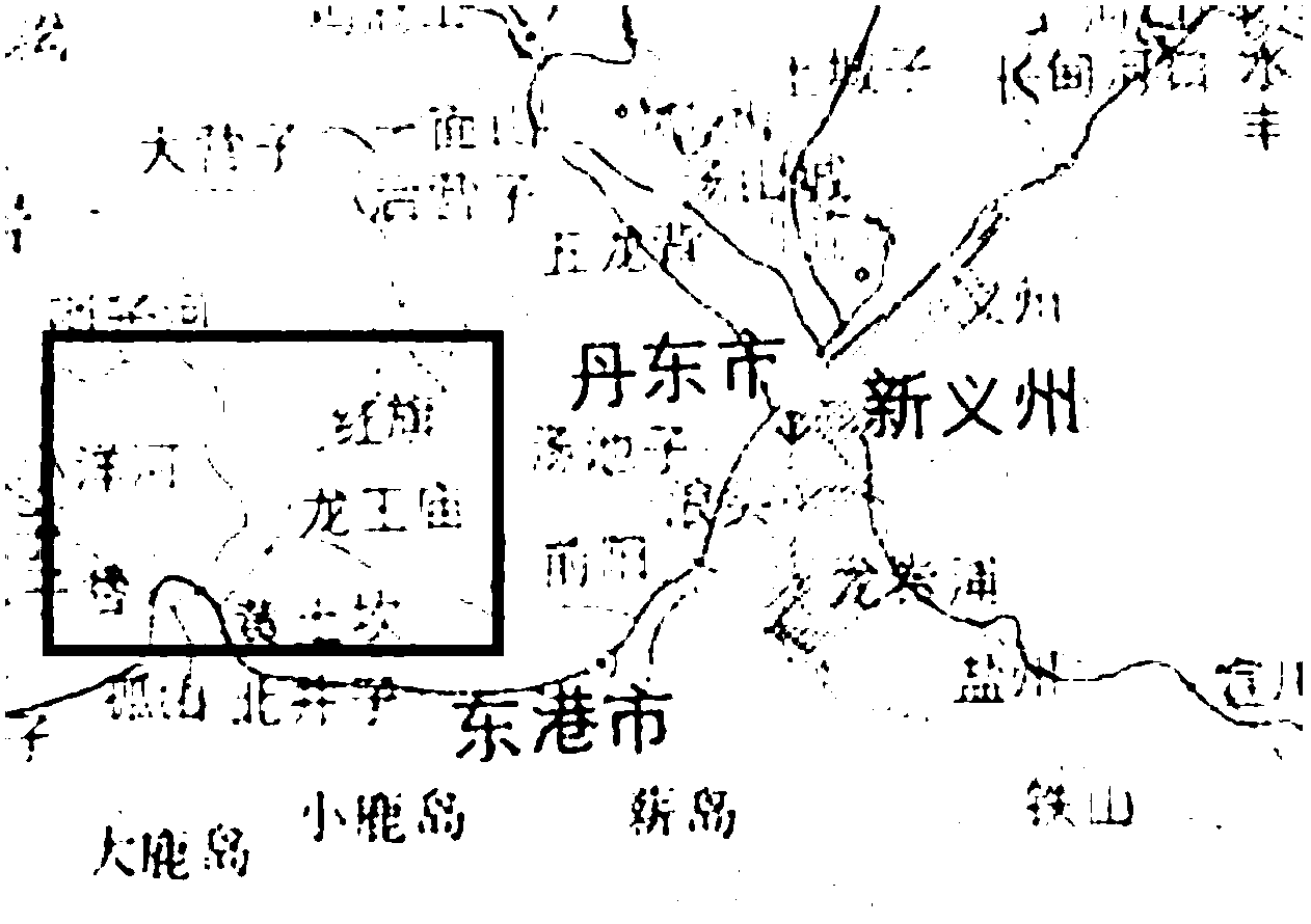
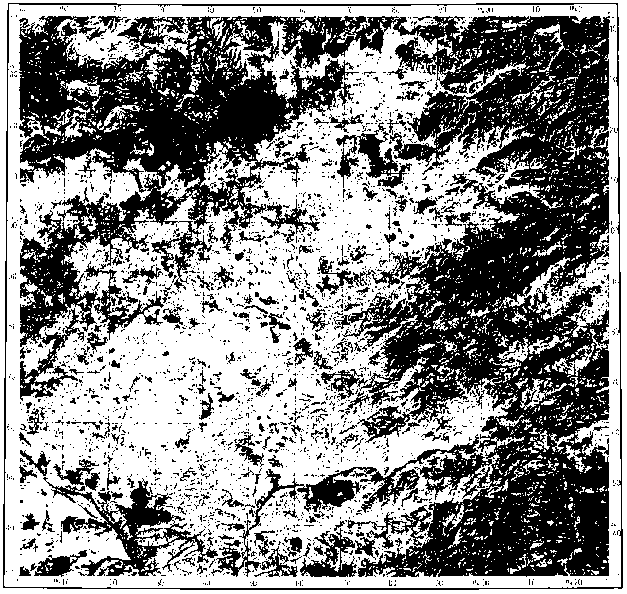
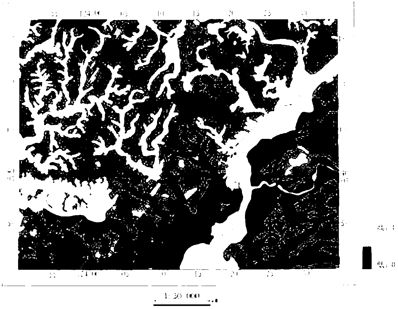
[0053] The measured area of this embodiment is located in the southeastern part of Liaoning Province, facing the Yellow Sea in the south and facing North Korea across the Yalu River in the east. There are railways, highways, waterways, etc. in the measured area. The geographical coordinates are 123°50′~124°35′ east longitude and 39°53′~40°20′ north latitude, with a total area of about 3000 square kilometers.
[0054] The climate type of the region measured in this embodiment is marine climate, with humid climate, rainfall concentrated in June to August, and the annual average rainfall is mostly between 870 and 1200 mm, mostly in the form of torrential rain, and the regional shape changes greatly. The regional distribution is also uneven, and the mountainous areas in the northeast are higher than the hilly areas in the southwest.
[0055] The groundwater enrichment evaluation method based on remote sensing information of the present embodiment comprises the following steps:...
PUM
 Abstract
Description
Claims
Application Information