Registration method of 2.5D (two and a half dimensional) maps
A map and registration technology, applied in the field of geographic information, can solve the problems of inconvenient use, unfavorable users to consult maps in different places, and the inability to transfer regions to other cities in the form of dragging, etc., to achieve the effect of convenient use
- Summary
- Abstract
- Description
- Claims
- Application Information
AI Technical Summary
Problems solved by technology
Method used
Image
Examples
Embodiment Construction
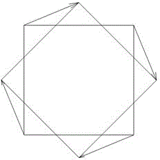
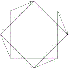
[0019] Such as Figure 1 to Figure 4 As shown, a 2.5-dimensional map registration method, S1, converts the two-dimensional vector map or image map in the base map into a Mercator projection map in JPG format (WGS 84 Web mercator);
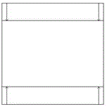
[0020] S2, after the above S1, it is necessary to rotate the vector data and raster data by an angle in the ArcMap module of ArcGIS, the range of the angle is 30-80 degrees, and perform longitudinal compression in proportion, and the proportion of longitudinal compression in proportion The value range is 20% to 80%. The rotation and compression of vector data are corrected by the geometric correction tool of ArcMap. The rotation and compression of raster data are corrected by the geometric registration tool of ArcMap. The rotation and compression of vector data and raster data The compression ratio parameters are consistent. The rotation and compression operations of vector data and raster data in the ArcMap module of ArcGIS are completely differen...
PUM
 Abstract
Description
Claims
Application Information
 - R&D
- Intellectual Property
- Life Sciences
- Materials
- Tech Scout
- Unparalleled Data Quality
- Higher Quality Content
- 60% Fewer Hallucinations
Browse by: Latest US Patents, China's latest patents, Technical Efficacy Thesaurus, Application Domain, Technology Topic, Popular Technical Reports.
© 2025 PatSnap. All rights reserved.Legal|Privacy policy|Modern Slavery Act Transparency Statement|Sitemap|About US| Contact US: help@patsnap.com


