A Multi-level Graph Clustering and Partitioning Method for Residential Polygons
A polygon and graph clustering technology, applied in the field of geographic information science research, can solve problems such as inability to obtain information mining, application limitations, and insufficient consideration of polygon shape characteristics and spatial relationships.
- Summary
- Abstract
- Description
- Claims
- Application Information
AI Technical Summary
Problems solved by technology
Method used
Image
Examples
Embodiment 1
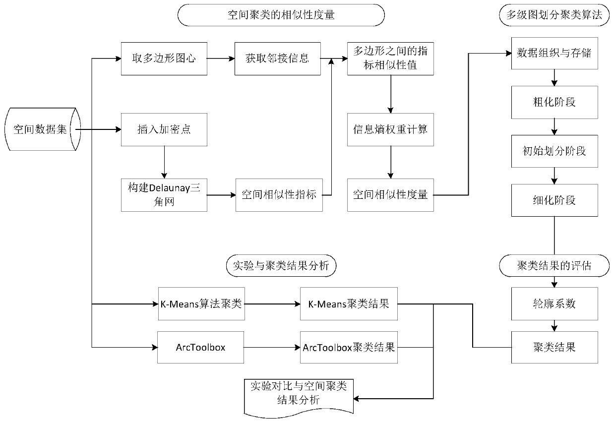
[0093] The present invention proposes a polygon clustering based on a multi-level graph partition algorithm, and uses the two-dimensional data of residents in Ontario, Canada—Waterloo Region—Walmot Township and Baden Region as experimental data. Such as figure 1 As shown, the whole process of this embodiment operates according to the following steps:
[0094] Step 1: acquisition of polygon adjacency information;
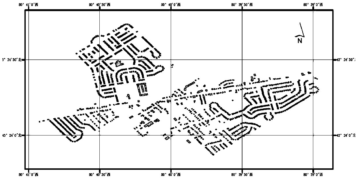
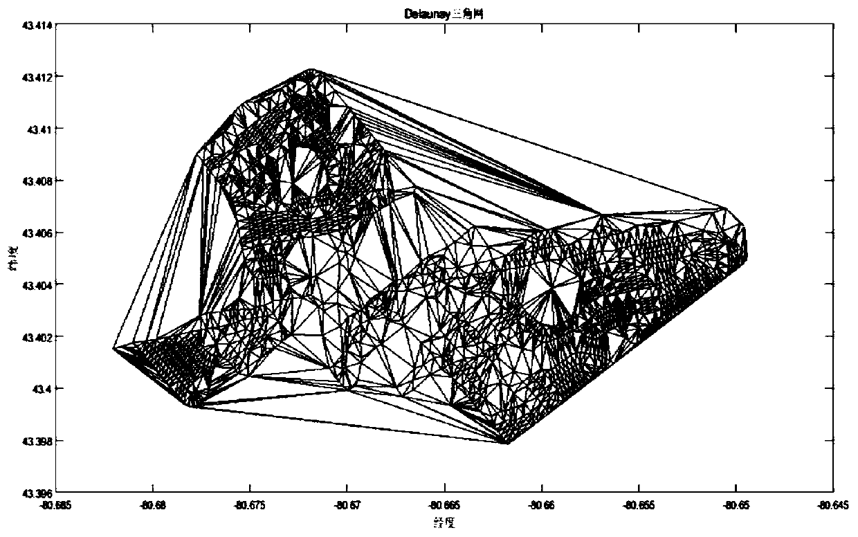
[0095] In order to measure the similarity between the polygonal buildings in the Baden area of Canada, the present embodiment regards the building as a polygonal entity, the actual overlooking area of the building is the area of the polygon, and the actual perimeter of the building is the perimeter of the polygon. The collection of objects is a polygon dataset, and each polygon is identified with a unique identifier. Such as figure 2 with Figure 9 As shown, in this embodiment, we selected 1497 research objects in the Baden area as the research area. Such...
PUM
 Abstract
Description
Claims
Application Information
 - R&D
- Intellectual Property
- Life Sciences
- Materials
- Tech Scout
- Unparalleled Data Quality
- Higher Quality Content
- 60% Fewer Hallucinations
Browse by: Latest US Patents, China's latest patents, Technical Efficacy Thesaurus, Application Domain, Technology Topic, Popular Technical Reports.
© 2025 PatSnap. All rights reserved.Legal|Privacy policy|Modern Slavery Act Transparency Statement|Sitemap|About US| Contact US: help@patsnap.com


