

A Method of Extracting Vegetation Information from Aerial Photographs Based on Collaborative Remote Sensing Images
A remote sensing image and information extraction technology, applied in the field of image processing, can solve some problems such as misjudgment of ground objects
- Summary
- Abstract
- Description
- Claims
- Application Information
AI Technical Summary
Problems solved by technology
Method used
Image


Examples
Embodiment Construction
[0019] The following will clearly and completely describe the technical solutions in the embodiments of the present invention with reference to the accompanying drawings in the embodiments of the present invention. Obviously, the described embodiments are only some, not all, embodiments of the present invention. Based on the embodiments of the present invention, all other embodiments obtained by persons of ordinary skill in the art without making creative efforts belong to the protection scope of the present invention.
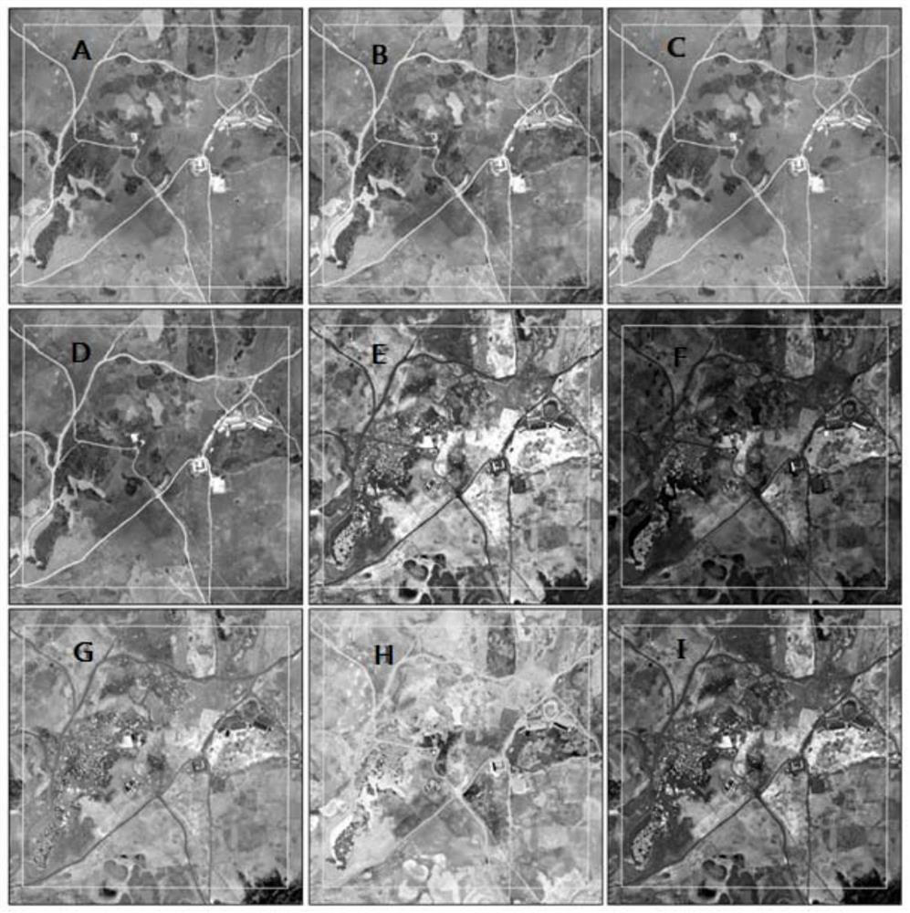
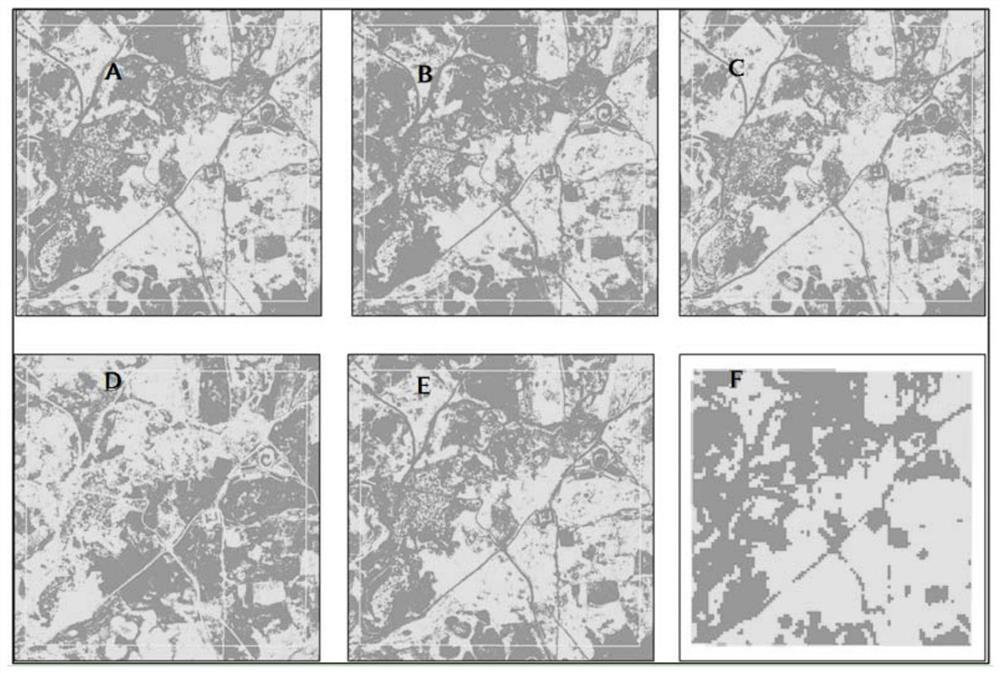
[0020] refer to figure 1 , the present invention provides a method for extracting vegetation information from aerial photographs of collaborative remote sensing images, the method comprising the following steps:
[0021] Step 1: Perform NDVI calculation on the remote sensing image to obtain the corresponding NDVI layer;
[0022] Step 2, extracting the RGB layer information of the aerial photo;
[0023] Step 3, perform VDVI operation on the RGB layer informat...
PUM
 Abstract
Description
Claims
Application Information