

Gridding real-time monitoring method for total electron content of ionized layer
A technology of total electron content and real-time monitoring, applied in radiation measurement, measurement device, X/γ/cosmic radiation measurement, etc. Effect
- Summary
- Abstract
- Description
- Claims
- Application Information
AI Technical Summary
Problems solved by technology
Method used
Image

Examples
Embodiment Construction
[0032] The present invention will be further explained below in conjunction with the accompanying drawings.
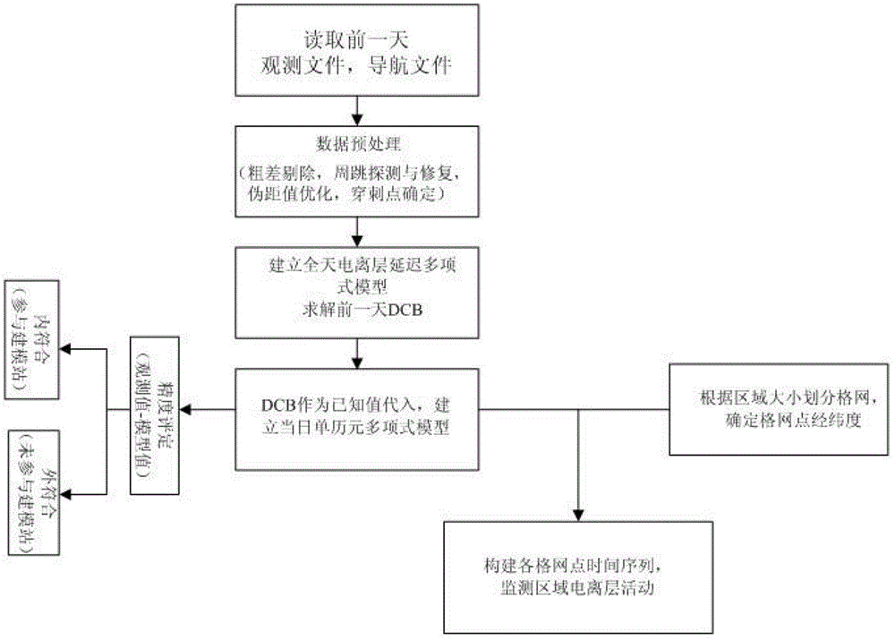
[0033] A gridded ionospheric total electron content real-time monitoring method, comprising the following steps:
[0034] Step 1), regional gridding:
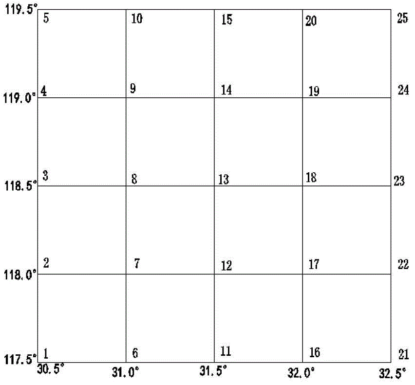
[0035] Such as figure 2 As shown, the scope of Jiangsu is selected as the monitoring area. Firstly, according to the Jiangsu area, a grid with longitude difference and latitude difference of 0.5°×0.5° is divided, and the longitude and latitude of each grid point are determined.
[0036] Step 2), read JSCORS (JSCORS: Jiangsu Province Continuous Operation Satellite Positioning Reference Station Comprehensive Service System) February 6, 2009 Btrd: Rudong Station, btxh: Xinghua Station, btyx: Yixing Station three-station navigation file and observation files, and perform data preprocessing on observation files;
[0037] Data preprocessing includes gross error elimination, cycle slip detection and repair, height cutoff a...
PUM
 Abstract
Description
Claims
Application Information