Reconnaissance satellite positioning and estimating method
A technology of reconnaissance satellites and Beidou satellites, which is applied in the field of satellite positioning, and can solve problems such as complex calculations, vulnerability to climate and cloud interference, coordinate transformation, etc.
- Summary
- Abstract
- Description
- Claims
- Application Information
AI Technical Summary
Problems solved by technology
Method used
Image

Examples
Embodiment Construction
[0023] A reconnaissance satellite positioning estimation method of the present invention will be further described below in conjunction with the accompanying drawings and specific embodiments.
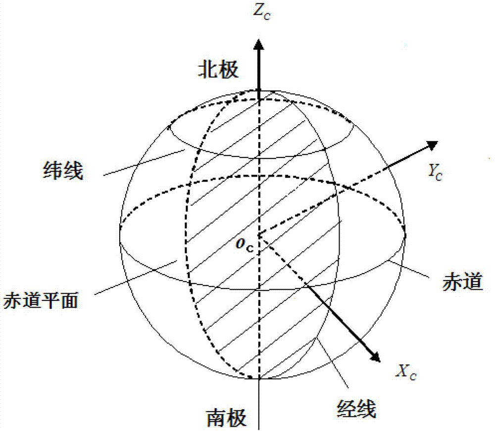
[0024] Such as figure 1 As shown, in order to describe the movement of the target reconnaissance satellite, its basic coordinate system needs to be established, and the center of the earth is taken as O c As the origin, the earth's rotation axis is taken as the z-axis, pointing to the North Pole is the positive direction, and the x-axis is determined by O c Point to the 0 longitude line at zero time, and then determine the y-axis according to the right-hand system, so as to establish its basic coordinate system O c -X c Y c Z c .
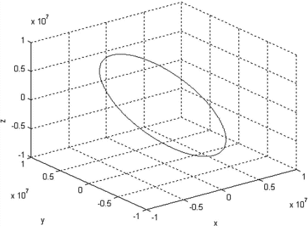
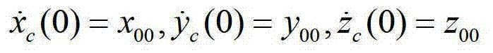
[0025] The specific embodiment of the present invention provides that the initial position of the known target reconnaissance satellite at zero time is (2043922.166765m, 8186504.631471m, 4343461.714791m) and initial velocity (-5379.544693m / s, -407.09534...
PUM
 Abstract
Description
Claims
Application Information
 - R&D
- Intellectual Property
- Life Sciences
- Materials
- Tech Scout
- Unparalleled Data Quality
- Higher Quality Content
- 60% Fewer Hallucinations
Browse by: Latest US Patents, China's latest patents, Technical Efficacy Thesaurus, Application Domain, Technology Topic, Popular Technical Reports.
© 2025 PatSnap. All rights reserved.Legal|Privacy policy|Modern Slavery Act Transparency Statement|Sitemap|About US| Contact US: help@patsnap.com