
Orthorectification processing method for night scene images

A processing method and orthorectification technology, applied in the field of remote sensing image processing, can solve the problems of time-consuming calculation and huge amount of remote sensing image data, and achieve the effect of improving efficiency, flexible and fast orthorectification, and reducing the amount of calculation.

Active Publication Date: 2020-06-26
CHANGGUANG SATELLITE TECH CO LTD
View PDF2 Cites 0 Cited by
  • Summary
  • Abstract
  • Description
  • Claims
  • Application Information

AI Technical Summary

Problems solved by technology

[0006] When dealing with orthorectification of remote sensing images, it is necessary to calculate each pixel of the image point by point, and the data volume of remote sensing images is very large, so the calculation is very time-consuming

Method used


Image

  • Orthorectification processing method for night scene images
  • Orthorectification processing method for night scene images
  • Orthorectification processing method for night scene images

Examples


Embodiment Construction

[0052] The present invention will be described in detail below in conjunction with the accompanying drawings.

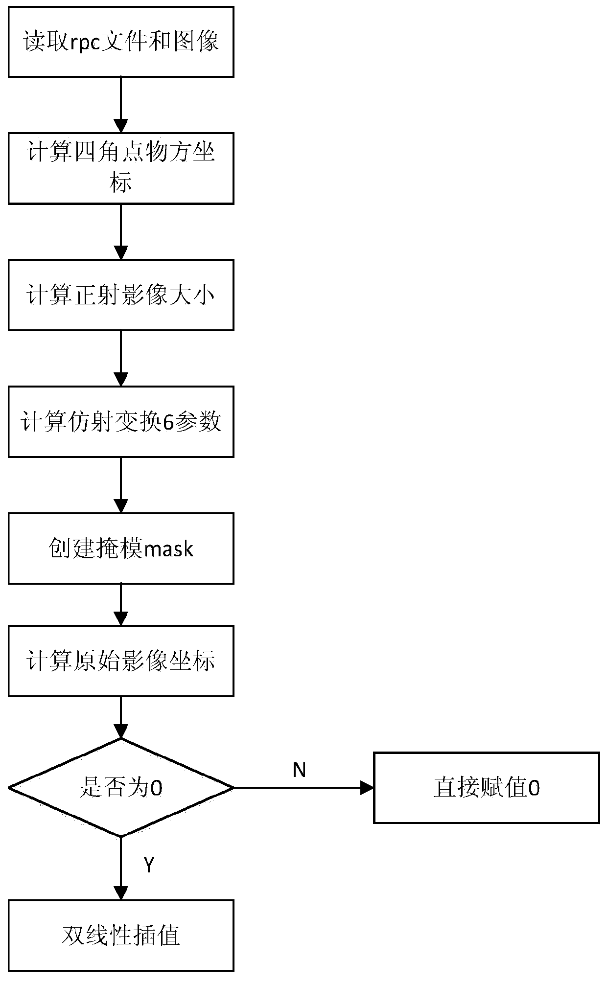
[0053] The night scene image orthorectification processing method provided by the present invention is based on the existing remote sensing image orthorectification algorithm, and the product structure of Jilin No. 1 video 3 stars, and adopts an orthorectification model based on Rational Polynomial Coefficients (RPC for short). Perform orthorectification.

[0054] The RPC model combines object space coordinates D(L, P, H), (where L stands for Longitude, referred to as lon), P stands for latitude Latitude, referred to as lat, and H stands for ground elevation Height) and its corresponding image coordinates d(X, Y ), (where X represents the number of pixels in the horizontal direction of the image, and Y represents the number of pixels in the vertical direction of the image), which are associated with a ratio polynomial. In order to enhance the stability of the parame...


PUM


Abstract

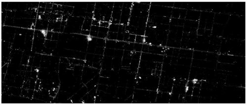
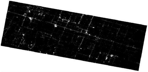
The invention relates to a night scene image orthorectification processing method, and relates to the field of remote sensing image processing. The night scene image orthorectification processing method includes the following steps: creating an orthographic output image, mapping the output image to the original image pixel by pixel, interpolating the gray value on the original image, and assigning the corresponding position of the output image. The night scene image orthorectification processing method of the present invention is aimed at the night scene image with a large area of ​​black area, based on the existing remote sensing image orthorectification algorithm, using a rational polynomial coefficient orthorectification model for orthorectification, by outputting the image Mapped to the original image pixel by pixel, only the orthorectification calculation is performed on the original image, without point-by-point calculation, which reduces a lot of calculations, thus greatly improving the efficiency of orthorectification of night scene images. The night scene image orthorectification processing method of the present invention can effectively orthorectify the night scene image according to the characteristics of the night scene image, and can perform orthorectification flexibly and quickly.

Description

technical field [0001] The invention relates to the field of remote sensing image processing, in particular to a night scene image orthorectification processing method. Background technique [0002] Satellites with night scene images of large black areas, such as the Jilin-1 video 3 satellite (Linye-1 satellite), use the function of area array staring at night to image the ground objects at night. Area array imaging has the following characteristics: (1) Compared with linear array imaging, the same image has the same temporal image, has the same outer orientation elements, and is easy to process; (2) The area array staring function can increase the exposure time of the image. The brightness of the ground is relatively low, so a long exposure is required to have a clearer picture. [0003] Although the exposure time of the satellite can be set longer, the average gray level of the image will still be relatively low, which needs to be enhanced to make it conform to people's o...

Claims


Application Information

Patent Timeline
Patent Type & Authority Patents(China)
IPC IPC(8): G06T3/00
CPCG06T3/0075
Inventor 谷文双陆晗白杨潘征王灵丽武红宇钟兴
Owner CHANGGUANG SATELLITE TECH CO LTD
Learn More