Geodesic line interpolation method with geodesic line arch height tolerance constrained
A terrestrial, high-limit technology used in complex mathematical operations, measuring devices, surveying and navigation, etc.
- Summary
- Abstract
- Description
- Claims
- Application Information
AI Technical Summary
Problems solved by technology
Method used
Image
Examples
Embodiment Construction
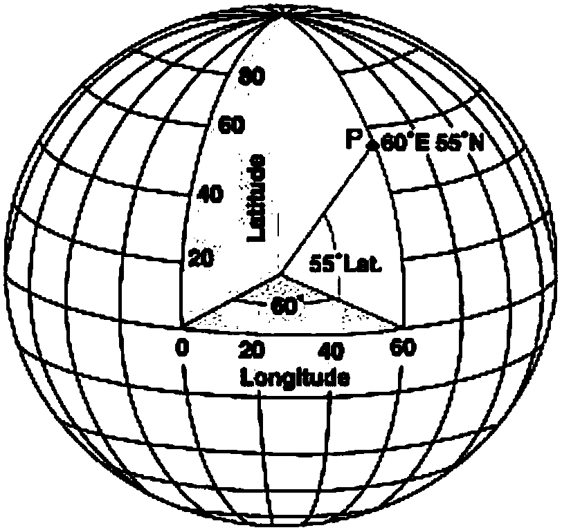
[0035] The geodetic line interpolation algorithm constrained by the height limit difference of the ground line arch of the present invention uses a computer to realize the precise drawing of the geodetic line, and uses the method of the present invention to realize the self-adaptive adjustment and matching of the geodetic line drawing precision and the interpolation distance. Assume that the starting point and ending point of the earth line w are points P and point Q respectively; P, Q and the interpolation point T i (i∈[1,n]) (n represents the number of interpolation points on the geodetic line w, n=0,1,2...) The polyline formed by connecting is represented by w'; the initial value of n is 0, representing P, Q-connected polylines.
[0036] At a given geodetic line w crown height limit difference h Ω Under the premise of , use the sphere instead of the earth ellipsoid to calculate the segment w of the polyline w' i '(i∈[0,n])(w' 0 =PT 1 、w i '=T i T i+1 , w' n =T n Q)...
PUM
 Abstract
Description
Claims
Application Information
 - R&D
- Intellectual Property
- Life Sciences
- Materials
- Tech Scout
- Unparalleled Data Quality
- Higher Quality Content
- 60% Fewer Hallucinations
Browse by: Latest US Patents, China's latest patents, Technical Efficacy Thesaurus, Application Domain, Technology Topic, Popular Technical Reports.
© 2025 PatSnap. All rights reserved.Legal|Privacy policy|Modern Slavery Act Transparency Statement|Sitemap|About US| Contact US: help@patsnap.com


