

A remote sensing-based method for extracting forest grass vegetation information in a loess plateau water and soil loss area
A loess plateau and information extraction technology, applied in the field of environmental remote sensing, can solve the problems of extensive coverage classification, failure to remove crops, difficulty in satisfying the analysis of changes in water and sediment in the Yellow River, etc., and achieve the effect of avoiding repetition and meticulous classification
- Summary
- Abstract
- Description
- Claims
- Application Information
AI Technical Summary
Problems solved by technology
Method used
Image

Examples
Embodiment Construction
[0059] The present invention will be described in further detail below in conjunction with the accompanying drawings and embodiments.
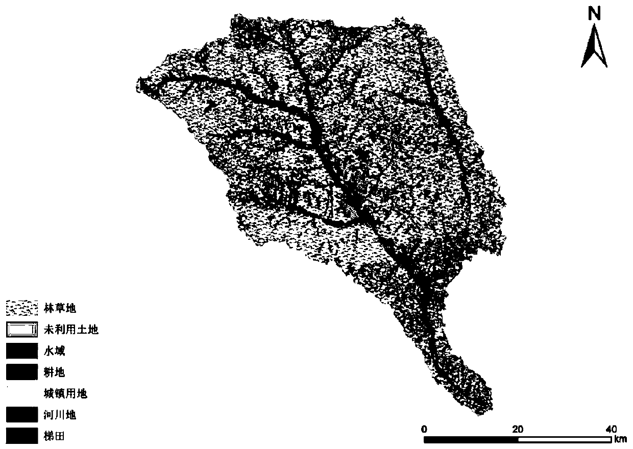
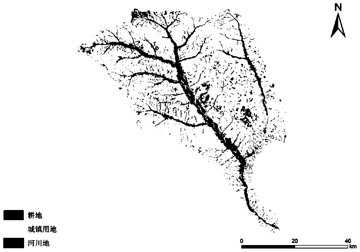
[0060] Table 1 is the main data source information table used in the embodiment. Embodiments Take the Tuwei River Basin, a typical watershed in the Loess Plateau, as an example, and there are no rocky mountains in this watershed.
[0061] Table 1 Information table of main data sources
[0062]
[0063]
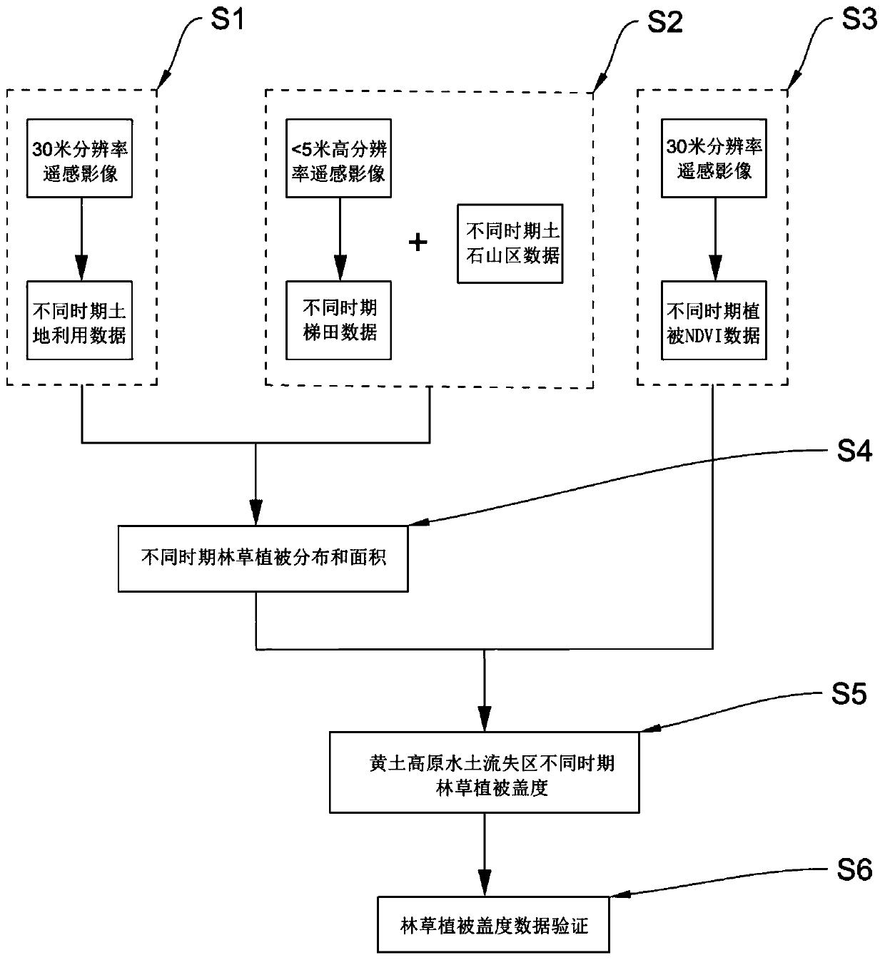
[0064] Based on remote sensing image data in different periods, the information collection and processing of forest and grass vegetation in the Loess Plateau, the flow chart is as follows figure 1 shown, including:
[0065] S1: Extract the vector data of land use in different periods in the soil erosion area.
[0066] Specifically include:
[0067] S1.1: Download the 30-meter Landsat TM remote sensing data, use ENVI and ARCGIS as the platform, preprocess the satellite remote sensing data, and obtain the surface albedo data, including...
PUM
 Abstract
Description
Claims
Application Information