Urban ground roughness calculation method

A technology of ground roughness and calculation method, applied in calculation, image data processing, 3D modeling, etc., can solve problems such as unreasonable, unreasonable urban planning and architectural design guidance, unscientific value selection, etc., to achieve accurate simulation results, The effect of optimizing building layout and improving simulation accuracy

Active Publication Date: 2019-12-13
TONGJI UNIV
View PDF6 Cites 3 Cited by
  • Summary
  • Abstract
  • Description
  • Claims
  • Application Information

AI Technical Summary

Problems solved by technology

[0003] At present, the value of ground roughness is too broad, and the value is unscientific and unreasonable, which makes the simulation of building outdoor wind environment a mere formality, and cannot effectively and reasonably guide urban planning and architectural design

Method used


Image

  • Urban ground roughness calculation method
  • Urban ground roughness calculation method
  • Urban ground roughness calculation method

Examples


Embodiment Construction

[0062] In order to make the purpose, technical solutions and advantages of the present application more clearly understood, the present application will be described in further detail below with reference to the accompanying drawings and embodiments. It should be understood that the specific embodiments described herein are only used to explain the present application, but not to limit the present application.

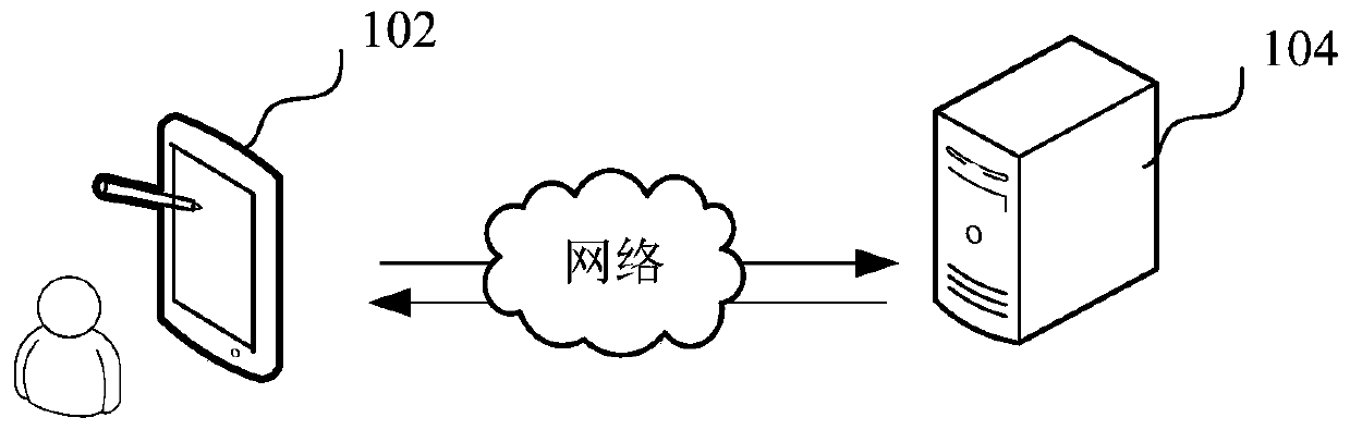
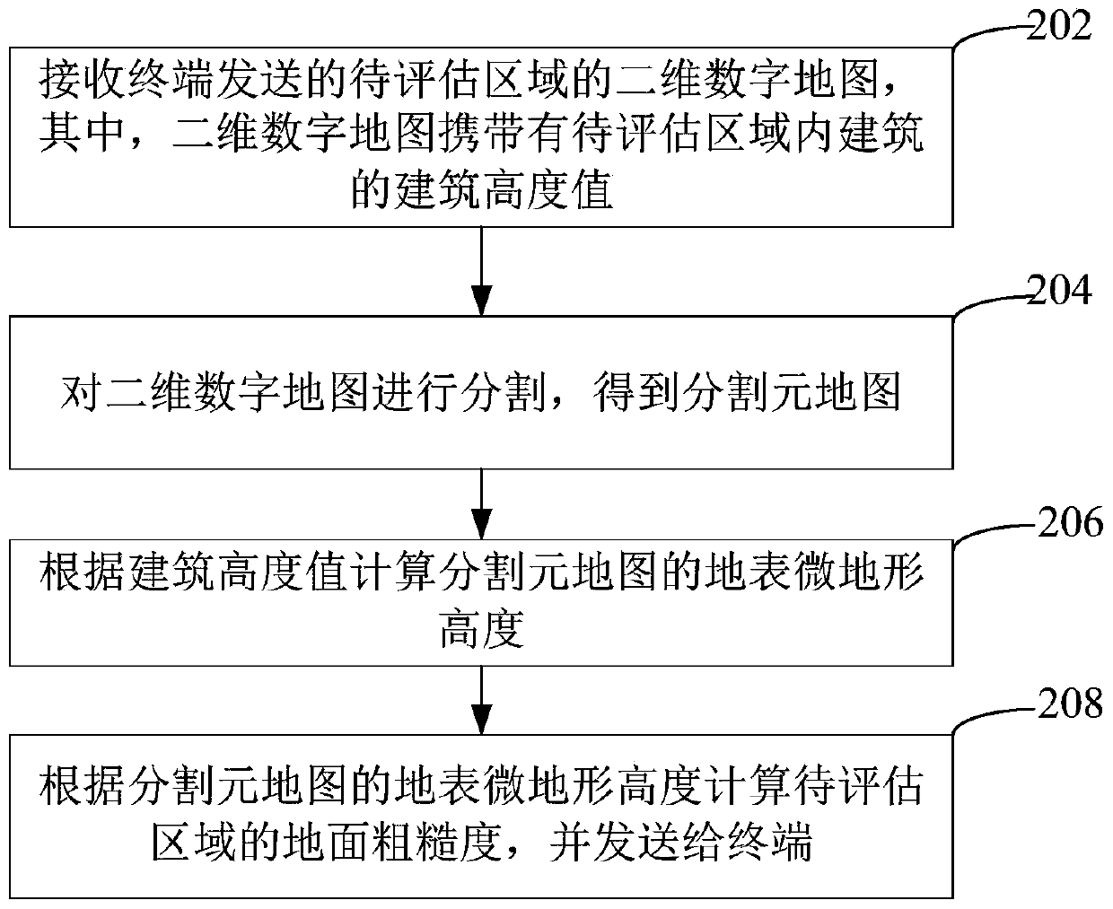
[0063] The urban ground roughness calculation method provided in this application can be applied to such as figure 1in the application environment shown. The terminal 102 communicates with the server 104 through the network. The server 104 receives the two-dimensional digital map of the area to be evaluated sent by the terminal 102, wherein the two-dimensional digital map carries the building height values ​​of the buildings in the area to be evaluated; the server 104 divides the two-dimensional digital map to obtain a segmented metamap; the server 104 Calculate the ...


PUM


Abstract

The invention relates to an urban ground roughness calculation method. The method comprises the steps of receiving a two-dimensional digital map, sent by a terminal, of a to-be-assessed area wherein the two-dimensional digital map carries building height values of buildings in the to-be-assessed area; segmenting the two-dimensional digital map to obtain a segmented meta-map; calculating the earthsurface microtopography height of the segmentation element map according to the building height value; and calculating the ground roughness of the to-be-evaluated area according to the ground surfacemicrotopography height of the segmentation element map, and sending the ground roughness to the terminal. Ground roughness can be accurately valued.

Description

technical field [0001] The present application relates to the field of construction technology, and in particular, to a method for calculating the roughness of urban ground. Background technique [0002] In order to avoid uncomfortable and even dangerous pedestrian wind environment caused by unreasonable building forms and layouts, it is necessary to correctly predict and evaluate the pedestrian wind environment quality at the beginning of block planning and design, and analyze the areas with poor wind environment quality. Make an optimized design. In the wind environment simulation work, the reasonable determination of the ground roughness boundary conditions is the basis of scientific simulation, and it is also a prerequisite that affects the accuracy of the results. [0003] At present, the value of ground roughness is too broad, and the value is unscientific and unreasonable, which makes the simulation of building outdoor wind environment a mere formality, and cannot ef...

Claims


Application Information

Patent Timeline
Patent Type & Authority Applications(China)
IPC IPC(8): G06T17/10G06T3/00
CPCG06T3/0037G06T17/10
Inventor 姚佳伟袁烽庄智张永明
Owner TONGJI UNIV
Why Eureka
Try Eureka