Slope Monitoring Method Based on Multiple UAVs
A technology of unmanned aerial vehicles and slopes, which is applied to motor vehicles, measuring devices, and interpretation of photos, etc., can solve the problems of error in detection results, difficulty in ensuring the accuracy of monitoring results, etc., so as to ensure accuracy and shorten the time required for monitoring. Effect
- Summary
- Abstract
- Description
- Claims
- Application Information
AI Technical Summary
Problems solved by technology
Method used
Image
Examples
Embodiment Construction
[0037] Embodiments of the technical solutions of the present invention will be described in detail below in conjunction with the accompanying drawings. The following examples are only used to illustrate the technical solutions of the present invention more clearly, and therefore are only examples, rather than limiting the protection scope of the present invention.
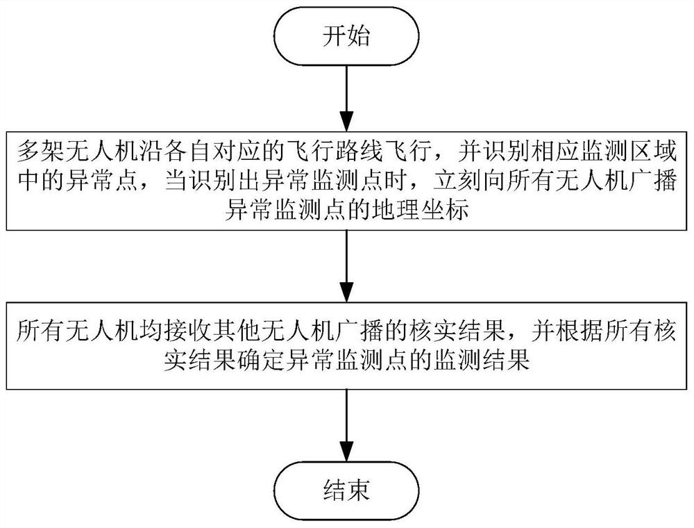
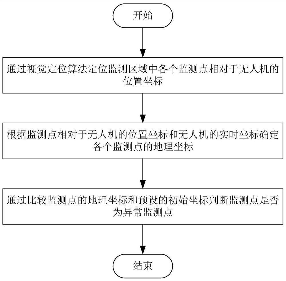
[0038] As shown in the figure, the flow chart of the slope monitoring method based on multiple drones, the monitoring method includes:
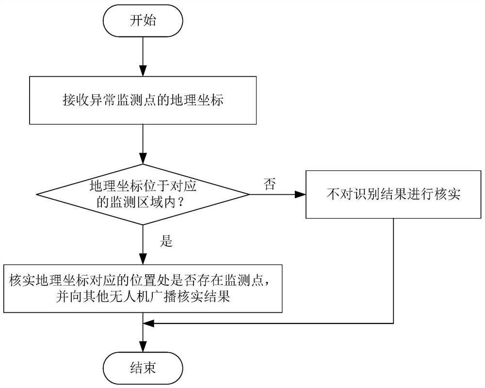
[0039] Step 1-1, each UAV flies along the preset flight route, and identifies the abnormal monitoring point in the corresponding monitoring area, when the abnormal monitoring point is identified, broadcast the geographical coordinates of the abnormal monitoring point to other UAVs, In order to facilitate other drones to verify the recognition results based on geographic coordinates;
[0040] Step 1-2, receiving the verification results broadcast by other UAVs, and determining the...
PUM
 Abstract
Description
Claims
Application Information
 - R&D
- Intellectual Property
- Life Sciences
- Materials
- Tech Scout
- Unparalleled Data Quality
- Higher Quality Content
- 60% Fewer Hallucinations
Browse by: Latest US Patents, China's latest patents, Technical Efficacy Thesaurus, Application Domain, Technology Topic, Popular Technical Reports.
© 2025 PatSnap. All rights reserved.Legal|Privacy policy|Modern Slavery Act Transparency Statement|Sitemap|About US| Contact US: help@patsnap.com


