Harmonic block technique for computing space-time solutions for communication system network nodes

a communication system and space-time solution technology, applied in the direction of direction finders, direction finders using radio waves, instruments, etc., can solve the problems of large inaccurate positioning data, no reliable solution exists, and lack of gps signals in places, and achieve the effect of large user base of wifi-based positioning devices

Active Publication Date: 2010-02-25
DIGIMARC CORP
View PDF22 Cites 21 Cited by
  • Summary
  • Abstract
  • Description
  • Claims
  • Application Information

AI Technical Summary

Benefits of technology

[0017]Consequently, an end user having only a laptop, PDA, VoIP phone or other device with a WiFi network connection receives positioning data without the need for a costly GPS chip. Cities are deploying metropolitan-wide industrial grade WiFi networks that enable a WiFi user to maintain continuous WiFi access while moving almost anywhere within the city. The development of metropolitan-wide WiFi networks in more than 250 cities will by 2009 create a very large user base for WiFi-based positioning devices.
[0018]Just as WiFi provides positioning signals, WiMax, cellular, broadcast television, digital radio, satellite, and mesh networks are potential PhaseNet signal carriers. This “last-mile” wireless broadband solution is like cellular service in that base stations provide the signals to the user for broad baseline service. Individually, each signal type can provide robust positioning. If all the signals are synthesized, then the resulting ‘signal soup’ enables almost any communicating device to be a reliable, precision locator without requiring an embedded GPS chip.

Problems solved by technology

GPS may be global, but it is not ubiquitous because foliage, building edifices, and bridges all block GPS signals.
The absence of GPS signals in places such as the urban core is problematic because high value applications for reliable positioning abound, yet no reliable solution exists.
Another common problem is multipath distortion in which signals bounce off many surfaces before reaching the user, resulting in vastly inaccurate positioning data.
GPS fails when a traveler crosses the threshold into the urban canyon where unreliable signals show inaccurate navigation data or may be blocked entirely.
For example, increasing deployments of individual WiFi access points by businesses and consumers make it difficult to walk through a downtown area without detecting WiFi signals.

Method used


Image

  • Harmonic block technique for computing space-time solutions for communication system network nodes
  • Harmonic block technique for computing space-time solutions for communication system network nodes
  • Harmonic block technique for computing space-time solutions for communication system network nodes

Examples


Embodiment Construction

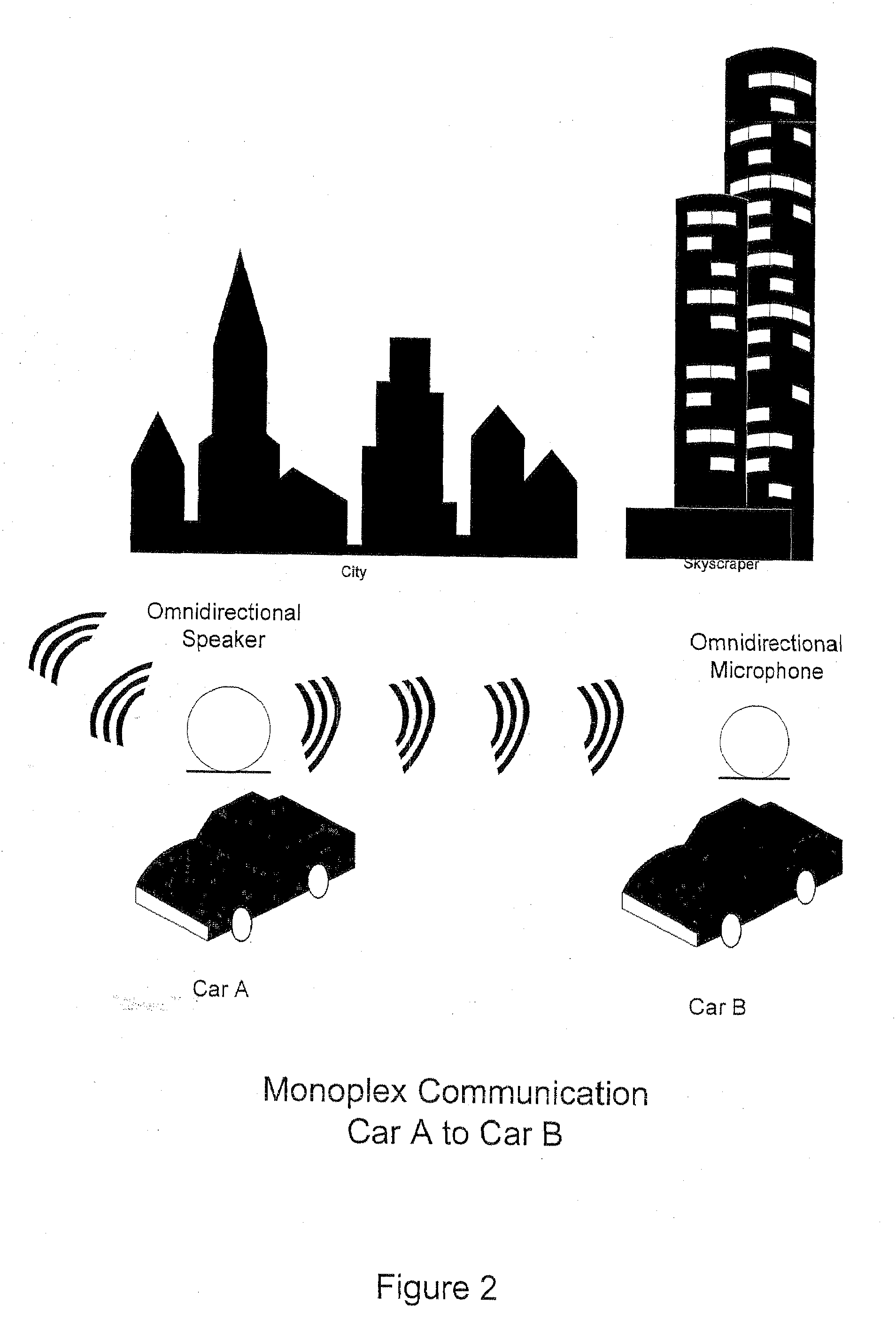
[0087]This disclosure describes a simple example of an overall PhaseNet embodiment that explicitly uses sound waves as opposed to electromagnetic waves to communicate between PhaseNet nodes. It also explicitly affords a tutorial treatment of how PhaseNet works, most notably in the use of relatively common “low and medium tech” methods, without sacrificing critical underlying engineering principles required for enabling electromagnetic-based PhaseNet operations as well. The extrapolation of audio principles to electromagnetic (EM) methods is a generally straightforward exercise, with the details of count-stamping circuitry and hardware being the primary physical difference between audio-based and electromagnetic-based implementations. The details of how the physical system-agnostic principles work on leading-edge satellite systems or terrestrial wireless and cell networks can all reference back to this simple enabling example using audio.

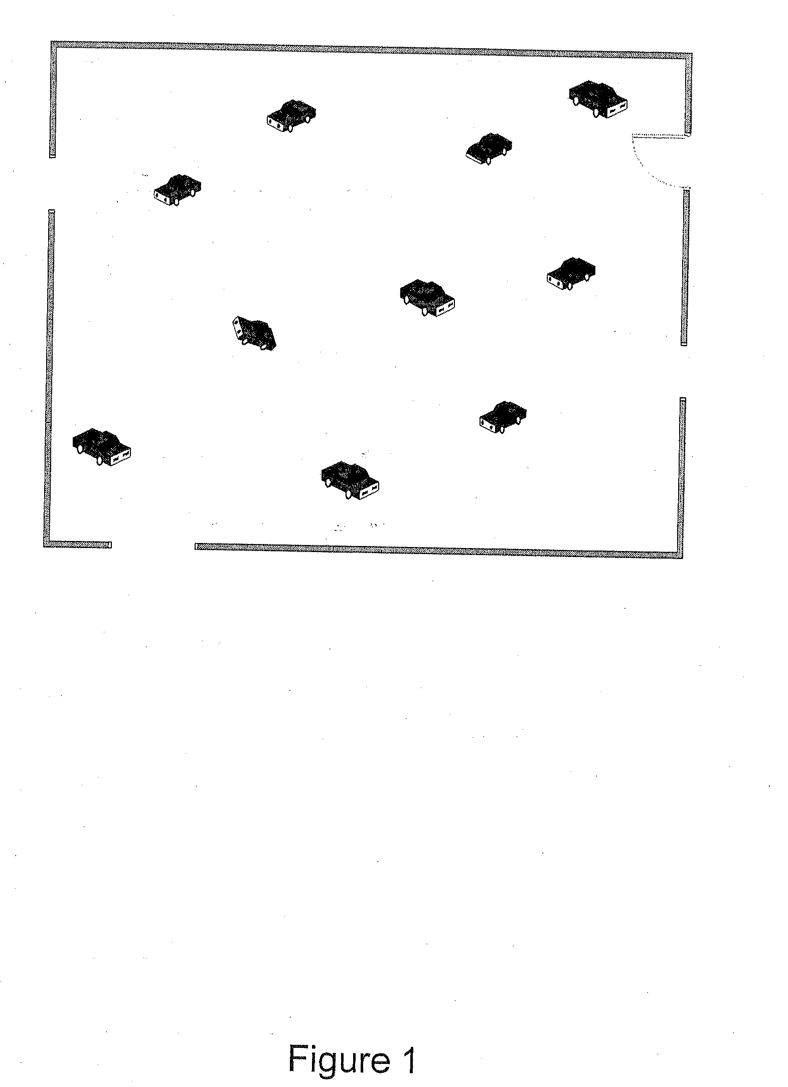
[0088]FIG. 1 depicts an example of a preferred...


PUM


Abstract

A space-time calibration system and method implement space-time solutions, in which, in one preferred embodiment, a single node determines its own space-time solutions based on other network nodes with which the single node communicates. In other preferred embodiments, space-time solutions for the node can be generated using other resources in the network. The disclosed system and method enable reliable, precise object positioning particularly for environments where the Global Positioning System (GPS) is blocked or subject to interference such as within the urban core.

Description

RELATED APPLICATIONS[0001]This application is a continuation of International Application No. PCT / US2007 / 025172, filed Dec. 7, 2007, which claims benefit of U.S. Provisional Patent Application No. 60 / 873,891, filed Dec. 7, 2006.TECHNICAL FIELD[0002]This disclosure relates to embodiments of a “PhaseNet” technique, which is shorthand for implementation of space-time solutions, in which, in one preferred embodiment, a single node determines its own space-time solutions based on other network nodes with which the single node communicates. In other preferred embodiments, space-time solutions for the node can be generated using other resources in the network. PhaseNet enables reliable, precise object positioning particularly for environments where the Global Positioning System (GPS) is blocked or subject to interference such as within the urban core.BACKGROUND INFORMATION[0003]Current techniques for positioning within the urban environment include the following:[0004]Cellular:[0005]GPS, A...

Claims


Application Information

Patent Timeline
Patent Type & Authority Applications(United States)
IPC IPC(8): G01S3/02
CPCG01S5/26G01S5/18
Inventor RHOADS, GEOFFREY
Owner DIGIMARC CORP
Why Eureka
Try Eureka