Method for geographically displaying oil and gas related information

a technology for oil and gas related information and information, applied in the field of system for geographically indicating information related to the oil and gas industries, can solve the problems of difficult to geographically represent and document easily, hand drawn data requires a lot of manual interaction, and is not readily updatable in a systematic process

Inactive Publication Date: 2013-04-25
OSEBERG
View PDF6 Cites 8 Cited by
  • Summary
  • Abstract
  • Description
  • Claims
  • Application Information

AI Technical Summary

Benefits of technology

[0007]It is an aspect of the embodiments to provide an interface that easily allows creation of output files which are aggregations of large amounts of data related to oil and gas industry assets.

Problems solved by technology

Both the oil and gas industries require recordation of a vast amount of data which is difficult to geographically represent and document easily.
Currently companies try to meet their analytical needs with a wide range of limited options.
The hand drawn data requires a lot of manual interaction, and is not readily updatable in a systematic process.

Method used


Image

  • Method for geographically displaying oil and gas related information
  • Method for geographically displaying oil and gas related information
  • Method for geographically displaying oil and gas related information

Examples


Embodiment Construction

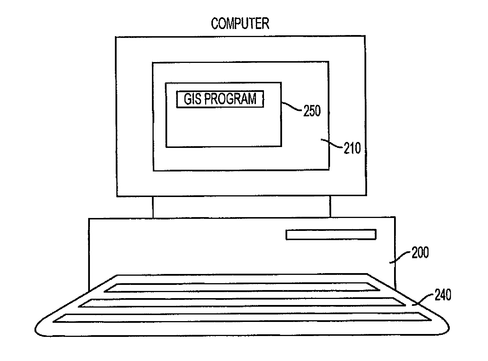
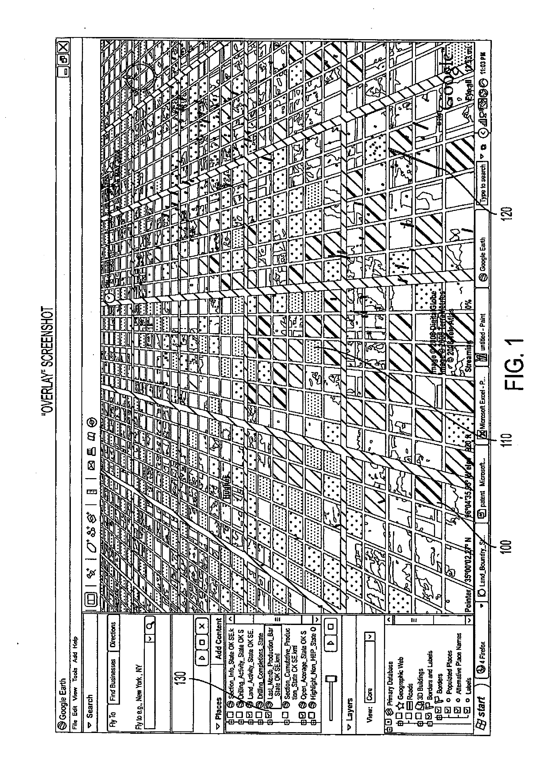
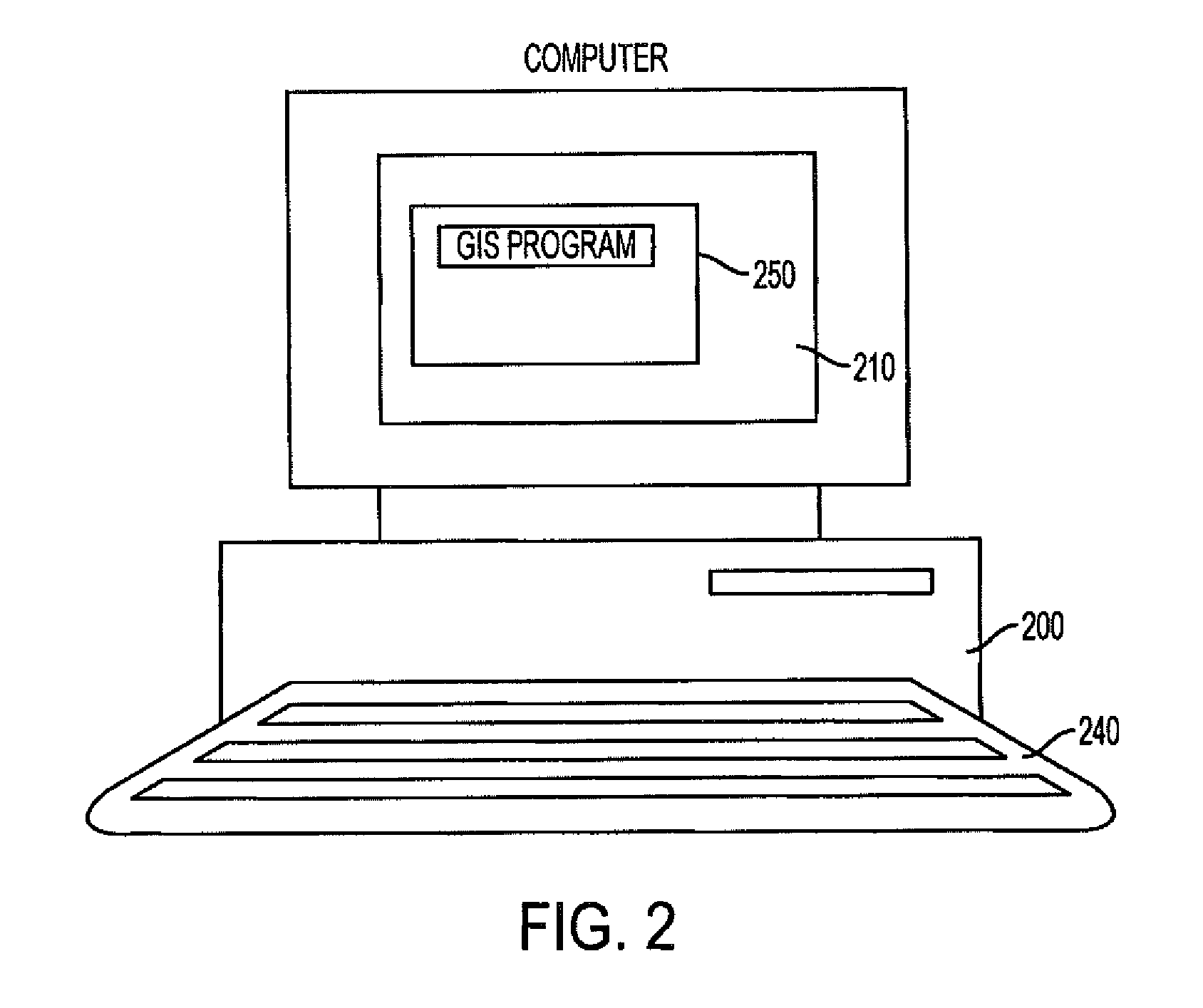
[0048]The embodiments related generally to the oil and gas industry, and in particular, to a method of processing and generating synthesized output from raw data by a computer. The raw data may be in the form of a number of data structures related to the oil and gas industry and contain a plurality of data related to oil and gas assets. Each data structure provides oil and gas associated data fields which may be stored on a computer readable medium. For instance, the data structures provide raw data related to area of interest, master land description, drilling data, pooling data, production data, master leasing data, spacing data, not held by production data, and plugging data as shown in FIGS. 5, 5A, 8, 14, 15, 16, 29, 32, and 33. Output files created by processing the raw data are formatted, such that they can be read by a commercially available geographic information system (GIS) application, which provides the viewer with a visual multi-dimensional view of the information. Addi...


PUM


Abstract

A method and system for generating output files which represent computer displayable geographically related data related to the oil and gas industries. The method and system provides an approach for representing vast amounts of data related to oil and gas industry assets geographically so that the data may be displayed in two and three-dimensions. The method and system provide a way of inputting raw data and outputting a file that may be processed by a geographic information system software package to visually represent the data geographically on the surface of the earth The output file may also be in a number of other file formats and readable by other software applications.

Description

CROSS REFERENCE TO RELATED APPLICATION[0001]This application is a continuation of U.S. patent application Ser. No. 12 / 504,134 entitled METHOD FOR GEOGRAPHICALLY DISPLAYING OIL AND GAS RELATED INFORMATION, filed Jul. 16, 2009, which claims priority to U.S. Provisional Patent Application No. 61 / 081,562 filed Jul. 17, 2008.BACKGROUND OF THE INVENTION[0002]The embodiments discussed therein are directed to a system for geographically indicating information related to the oil and gas industries and, more particularly, to a system accepting input raw data related to the oil and gas industries, and providing an output file used to display the information related to the oil and gas industries geographically by inputting the output file into a Geographic Information System.DESCRIPTION OF THE RELATED ART[0003]There has recently been growth of a number of commercially available geographic information systems, for example, Google Earth, Microsoft Virtual Earth, and ArcGIS which allow a user to v...

Claims


Application Information

Patent Timeline
Patent Type & Authority Applications(United States)
IPC IPC(8): G09G5/377G06T15/00
CPCG01V11/00G06F17/30241G09G5/377G06T19/00G06T15/00G06T17/05G06F16/29
Inventor GILJE, ERIK PAULANDERSON, EVAN CHRISTOFFER
Owner OSEBERG
Why Eureka
Try Eureka