Unlock instant, AI-driven research and patent intelligence for your innovation.

Apparatus and Method to Update Geographic Database

a geographic database and database technology, applied in the field of methods or systems for updating geographic databases, can solve the problems of inaccurate geographic data collection, time-consuming geographic area, and high cost of professional equipment,

Active Publication Date: 2015-05-21
HERE GLOBAL BV
View PDF15 Cites 23 Cited by
  • Summary
  • Abstract
  • Description
  • Claims
  • Application Information

AI Technical Summary

Benefits of technology

The patent describes a system where a mobile device sends a user-generated photo and location to a server, which then identifies a missing entry in a database and asks the user to visit or photograph an object near the location. The server then analyzes the information provided by the user to update the database. The technical effect of this system is to improve the accuracy and coverage of geographic databases by using user-generated data and identifying incomplete entries.

Problems solved by technology

For example, the initial collection of data about the roads, destinations, and points of interest in a geographic area may be time consuming and require expensive professional equipment.
Also, geographic data used in navigation systems may become out-of-date.
There also may be errors in collected geographic data.
Updating and checking the geographic data may involve significant efforts.
Additionally, the illustrations are merely representational and may not be drawn to scale.

Method used


Image

  • Apparatus and Method to Update Geographic Database
  • Apparatus and Method to Update Geographic Database
  • Apparatus and Method to Update Geographic Database

Examples


Embodiment Construction

[0016]A mobile device may include a navigation application, which determines the optimal route to travel from an origin location to a destination location from geographic data, or a map application, which provides maps that may be manipulated to show various portions of the geographic data. The geographic data may be updated through user inputs at the mobile device in response to interactions between the user and the navigation application or the map application. For example, the user may enter a search query, a personalized locator beacon, or scheduled a geographic reminder. The navigation application or map application provides the service to the user blended with one or more questions designed to update or augment the geographic database.

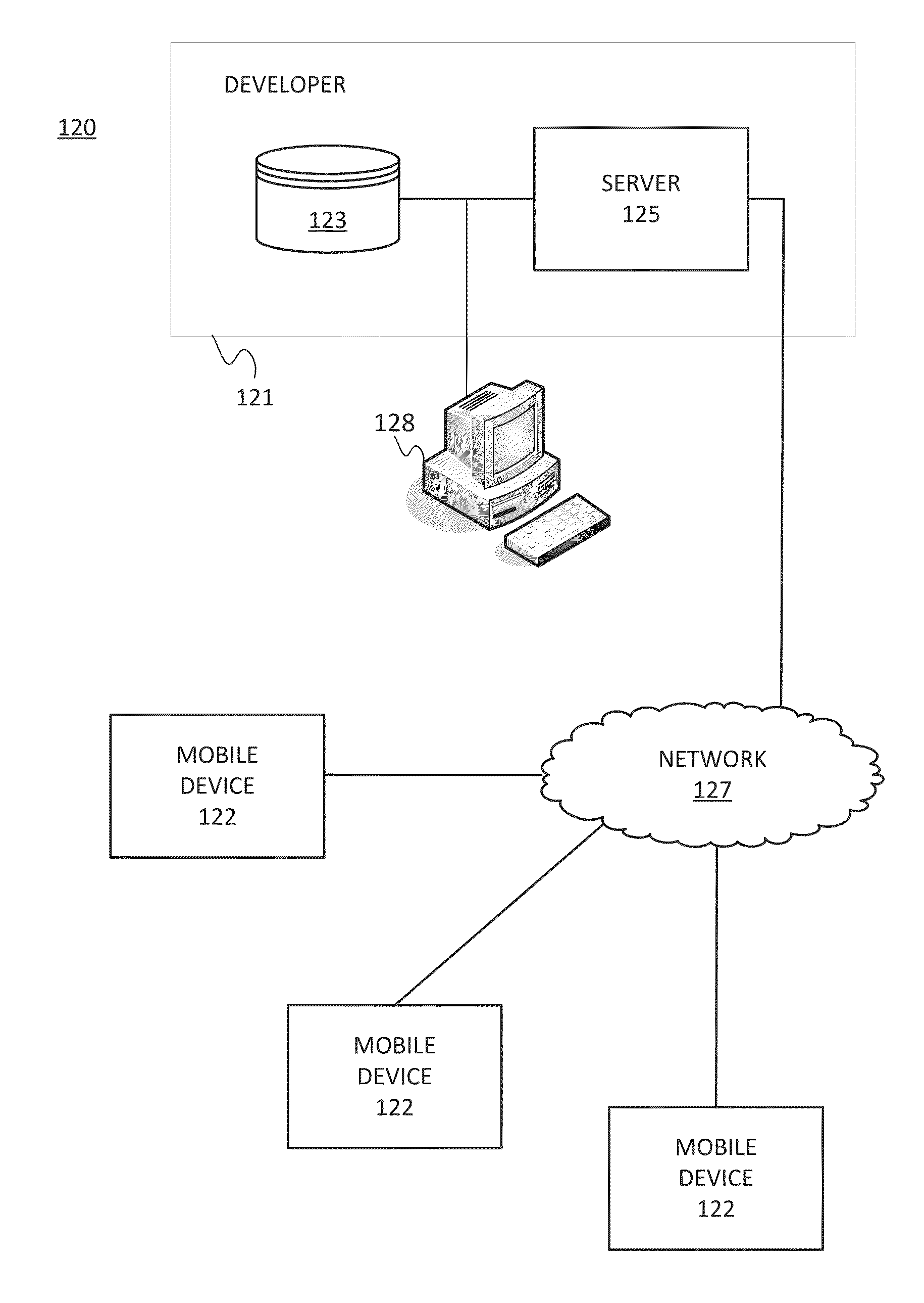
[0017]FIG. 1 illustrates an exemplary navigation system 120. The navigation system 120 includes a developer system 121, a mobile device 122 and a network 127. Additional, different, or fewer components may be provided. The developer system 121 in...


PUM


Abstract

A mobile device initiates communication with a server through a location based service and sends a user generated submission and a geolocation to the server. The server identifies an incomplete entry in a geographic database based on the geolocation and generates a probe question for the incomplete entry. The probe question requests that a user visually inspect or photograph an object or area near the geolocation. The server analyzes the information provided by the user in order to update the geographic database.

Description

FIELD[0001]The following disclosure relates to a method or system for updating a geographic database, or more particularly, a geographic database update using location based user prompts.BACKGROUND[0002]Navigation systems or devices provide useful features, including the identification of routes to destinations or points of interests. The navigation system can determine the optimal route to be taken by the end user to travel from the origin to the destination location from geographic data. In addition, the geographic data may include information about the locations of destinations or points of interests.[0003]The collection of geographic data for use in navigation systems may be a significant undertaking. For example, the initial collection of data about the roads, destinations, and points of interest in a geographic area may be time consuming and require expensive professional equipment. Also, geographic data used in navigation systems may become out-of-date. There also may be erro...

Claims


Application Information

Patent Timeline
Patent Type & Authority Applications(United States)
IPC IPC(8): G06F17/30H04W4/02H04W4/021
CPCG06F17/30371H04W4/021G06F16/29G06F16/2365G01C21/3856
Inventor FEFILATYEV, SERGIYFELIX, MACGREGORLINDER, ERICTITIEVSKY, GREGORYKHAILO, MAXIMALONZI, ELIZABETH
Owner HERE GLOBAL BV