Method and device for identifying and marking different terrains in virtual scene

A virtual scene and terrain technology, applied to the application field of virtual characters in virtual scenes, can solve the problems of long computing process, immaturity, and huge impact on game performance.

Active Publication Date: 2010-12-22
喜大(上海)网络科技有限公司
View PDF4 Cites 18 Cited by
  • Summary
  • Abstract
  • Description
  • Claims
  • Application Information

AI Technical Summary

Problems solved by technology

[0003] The traditional solution is to divide the ground and buildings through image recognition technology, but this technology is not mature, and some places such as streets with similar colors cannot be recognized, and the calculation process of this method is relatively long, which affects the performance of the game. The impact is huge, so this method is not suitable for browser games

Method used


Image

  • Method and device for identifying and marking different terrains in virtual scene
  • Method and device for identifying and marking different terrains in virtual scene
  • Method and device for identifying and marking different terrains in virtual scene

Examples


Embodiment Construction

[0032] The present invention will be further described below with reference to the accompanying drawings and embodiments.

[0033] Embodiment of a method for distinguishing and marking different terrain types in a virtual scene

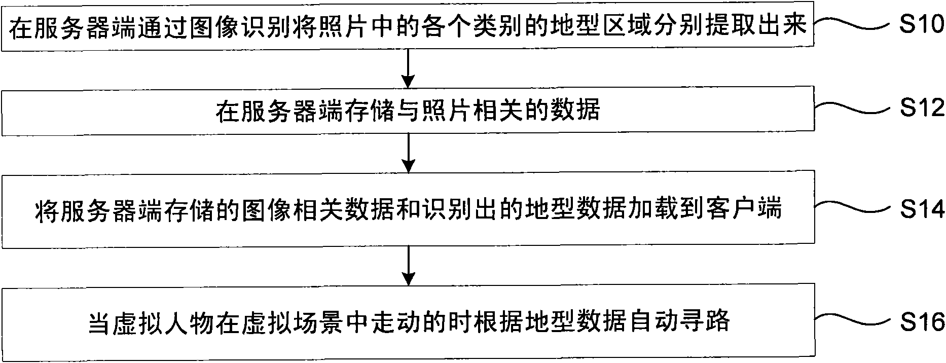
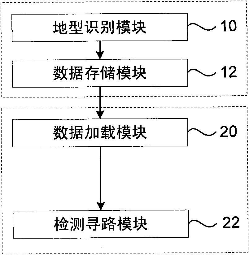
[0034] figure 1 The flow chart of an embodiment of the method for distinguishing and marking different terrain types in a virtual scene of the present invention is shown. See figure 1 , the following is a detailed description of each step in the method of this embodiment.

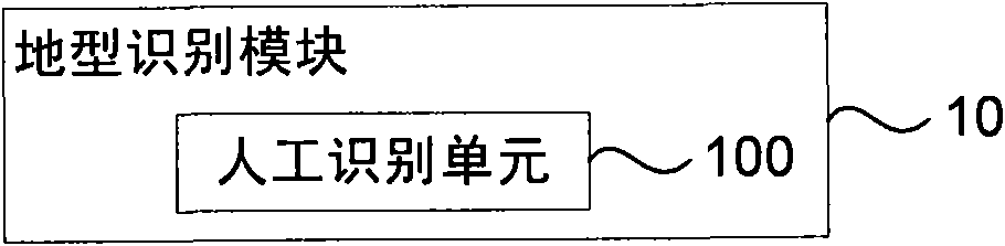
[0035] Step S10: On the server side, the terrain types of each category in the image are extracted according to the different categories of terrain types through image recognition.

[0036] From the perspective of whether the virtual character can walk on it, the terrain can be divided into walkable areas and non-walkable areas. The walkable area is generally the ground without obstacles, and the non-walkable area generally includes the sky, water, obstacles, etc. .

[0037]...


PUM


Abstract

The invention discloses a method and a device for identifying and marking different terrains in a virtual scene, which ensures virtual characters to walk within the range of a walkable region in the virtual scene. The technical scheme thereof is as follows: during map editing, identifying the data of different terrains by a mode of combining automatic identification and manual correction, and storing the identified data and images into a server together; utilizing a client to acquire the data and the images from the server simultaneously, wherein the images are used for displaying the scene; and when the virtual characters walk in the virtual scene, detecting whether the virtual characters pass through an unwalkable region, if yes, causing the virtual characters to stop at the current position or automatically walk around the current position.

Description

technical field [0001] The present invention relates to the application technology of virtual characters in virtual scenes, and in particular to a method and device for how virtual characters recognize terrain (such as ground, water, sky, buildings, etc. in pictures) based on panoramic games. Background technique [0002] At present, the scene realization methods in games on the market include plan view, 45-degree top view, 3D model scene, etc., but none of them can bring users an immersive feeling. For the application of some panorama technologies in virtual games, since the game map is directly photographed with a camera, the ground and buildings are in the same image. When such an image is put into the game, it is necessary to judge which areas are the ground and which areas are buildings, so as to ensure that the characters are walking on the ground instead of "flying over the walls"; at the same time, it is also necessary to mark the trees next to the road and place the...

Claims


Application Information

Patent Timeline
Patent Type & Authority Applications(China)
IPC IPC(8): G06F19/00G06K9/00
Inventor 邹圣许海林陈小雨
Owner 喜大(上海)网络科技有限公司
Why Eureka
Try Eureka