Method for judging flight route deviation
A technology of route and position point, applied in the direction of integrated navigator, etc., can solve problems such as large calculation error, difficult to popularize application, false alarm, etc., and achieve the effect of fast judgment speed, accurate algorithm, stable and reliable performance
- Summary
- Abstract
- Description
- Claims
- Application Information
AI Technical Summary
Problems solved by technology
Method used
Image
Examples
Embodiment Construction
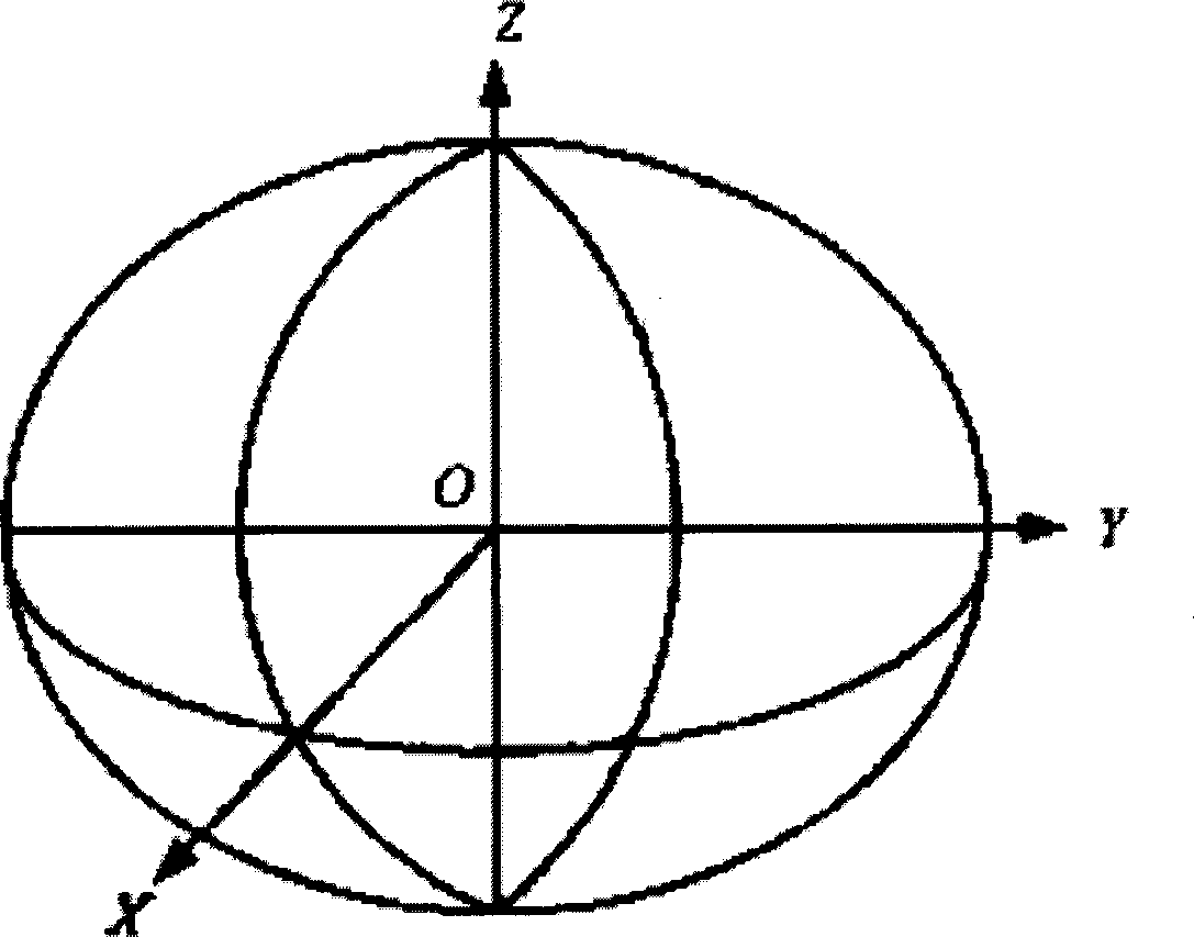
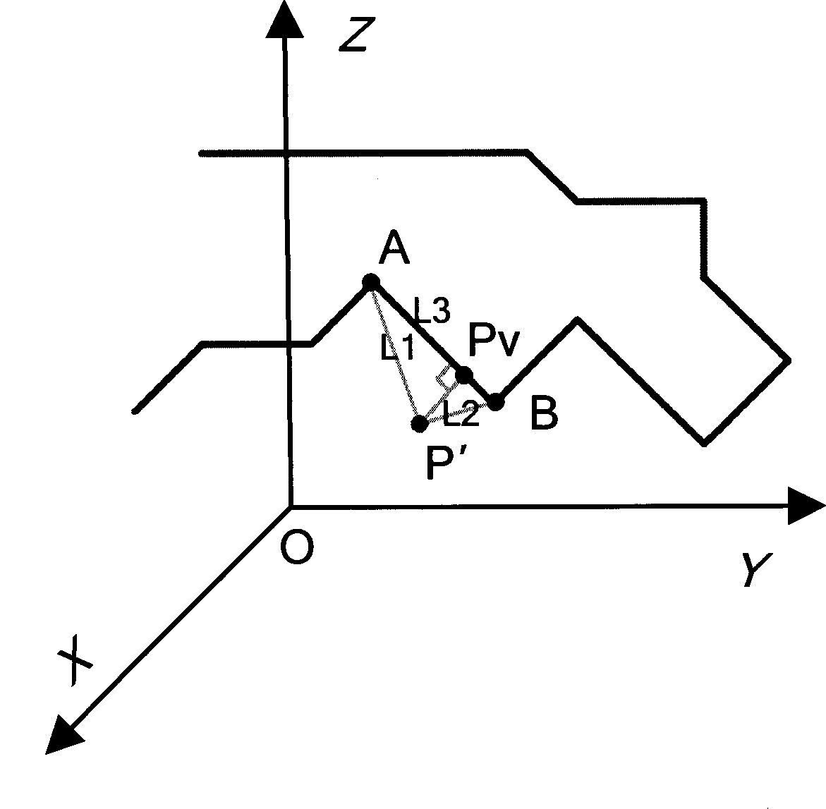
[0029] Below, combine figure 1 and figure 2 The present invention is further described.
[0030] A method for judging the deviation of the flight route. The principle of the method is to convert the geodetic coordinates of the current position point of the aircraft and the geodetic coordinates of the route position point into spatial Cartesian coordinates, and use a three-dimensional geometric algorithm to calculate the shortest distance between the current position point and the route point segment by segment. coordinates, and inversely transform the coordinates at the shortest distance into geodetic coordinates, and then determine whether it is within the allowable deviation range of the route by calculating the horizontal distance and height difference between two geodetic coordinate points.
[0031] The present invention comprises steps:
[0032] (1) Convert the current position point P of the aircraft in the earth coordinate system to the position point P′ in the space...
PUM
 Abstract
Description
Claims
Application Information
 - R&D
- Intellectual Property
- Life Sciences
- Materials
- Tech Scout
- Unparalleled Data Quality
- Higher Quality Content
- 60% Fewer Hallucinations
Browse by: Latest US Patents, China's latest patents, Technical Efficacy Thesaurus, Application Domain, Technology Topic, Popular Technical Reports.
© 2025 PatSnap. All rights reserved.Legal|Privacy policy|Modern Slavery Act Transparency Statement|Sitemap|About US| Contact US: help@patsnap.com


