Method and device for obtaining graphic data of county-scale abandoned land
A graphic data and data technology, applied in data processing applications, instruments, calculations, etc., can solve the problems of not being able to give marginalized spatial characteristics, not reflecting spatial elements, and not being able to obtain
- Summary
- Abstract
- Description
- Claims
- Application Information
AI Technical Summary
Problems solved by technology
Method used
Image
Examples
Embodiment Construction
[0053] The preferred embodiments of the present invention will be described in detail below in conjunction with the accompanying drawings. It should be understood that the preferred embodiments described below are only used to illustrate and explain the present invention, and are not intended to limit the present invention.
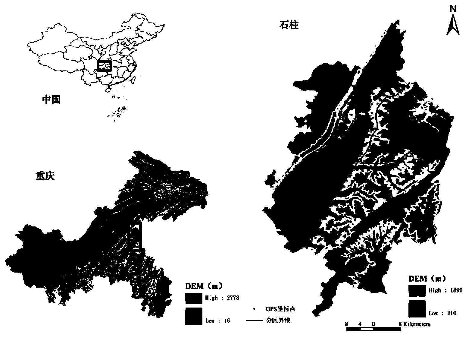
[0054] The sample area is Shizhu County, Chongqing City, which has a relatively large mountainous area within its jurisdiction. The purpose is to identify the characteristics of farmland marginalization, find out the main factors that affect and drive marginalization, and based on the controllability of factors that affect and drive marginalization. , put forward adaptive "marginalization" and "anti-marginalization" countermeasures.
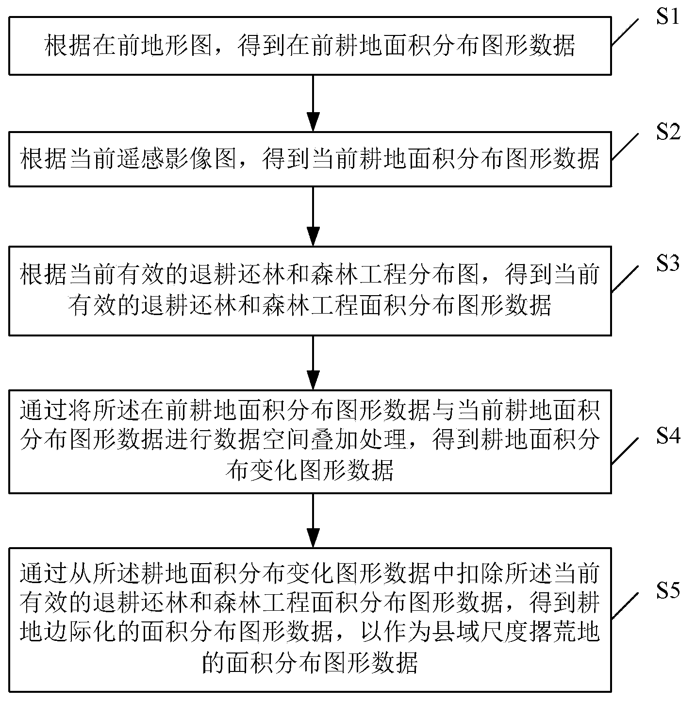
[0055] figure 1 It is a flow chart of the method for obtaining graphic data of abandoned land at the county level provided by the present invention, such as figure 1 As shown, the steps include:
[0056] Step S1: According...
PUM
 Abstract
Description
Claims
Application Information
 - R&D
- Intellectual Property
- Life Sciences
- Materials
- Tech Scout
- Unparalleled Data Quality
- Higher Quality Content
- 60% Fewer Hallucinations
Browse by: Latest US Patents, China's latest patents, Technical Efficacy Thesaurus, Application Domain, Technology Topic, Popular Technical Reports.
© 2025 PatSnap. All rights reserved.Legal|Privacy policy|Modern Slavery Act Transparency Statement|Sitemap|About US| Contact US: help@patsnap.com


