Method for monitoring and resolving three-dimensional ground surface deformation of industrial and mining area by means of multi-source SAR image
A technology of surface deformation and imaging, applied in measurement devices, radio wave measurement systems, radio wave reflection/re-radiation, etc. Technical limitations and the effect of broadening application prospects
- Summary
- Abstract
- Description
- Claims
- Application Information
AI Technical Summary
Problems solved by technology
Method used
Image

Examples
Embodiment Construction
[0065] Basic principle of the present invention is:
[0066] By using a variety of InSAR technologies to process multi-source SAR images covering the same research area, the multiple InSAR technologies are fused to obtain multi-directional surface deformation information in the area, and the multi-source monitoring results are further fused to solve the three-dimensional surface deformation.
[0067] Below in conjunction with accompanying drawing and specific embodiment the present invention is described in further detail:
[0068] combine figure 1 As shown, a method for monitoring and solving three-dimensional surface deformation in industrial and mining areas fused with multi-source SAR images includes the following steps:
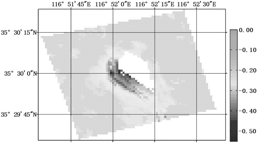
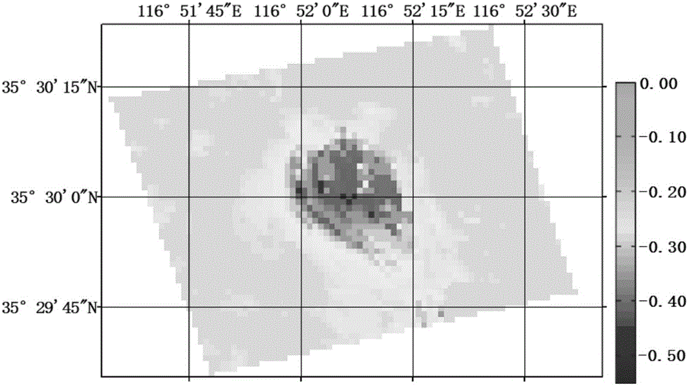
[0069] a Obtain the coherence map of the interferometric pair of multi-source SAR images. The specific method of obtaining is:
[0070] After performing imaging and multi-view processing on the collected multi-source SAR images covering the research a...
PUM
 Abstract
Description
Claims
Application Information