An airborne lidar building detection method based on voxel segmentation
A detection method and building technology, applied in 3D modeling, image analysis, computer parts, etc., can solve the problems that are not conducive to the advantages of airborne LIDAR true 3D technology
- Summary
- Abstract
- Description
- Claims
- Application Information
AI Technical Summary
Problems solved by technology
Method used
Image

Examples
Embodiment Construction
[0055] The specific embodiments of the present invention will be described in detail below in conjunction with the accompanying drawings.
[0056] In this embodiment, the method is realized by using MATLAB 7.11.0 platform programming on a CPU dual-core 2.4GHz, memory 4GB, and Windows 7 ultimate system, and the validity of the method is further verified by evaluating the accuracy of the method.
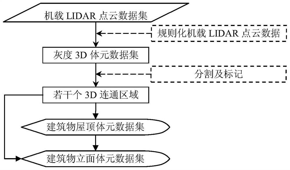
[0057] An airborne LIDAR building detection method based on voxel segmentation, such as figure 1 shown, including the following steps:
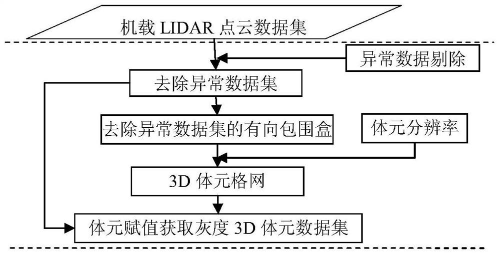
[0058] Step 1: Read the original airborne LIDAR point cloud data to form the original airborne LIDAR point cloud dataset.
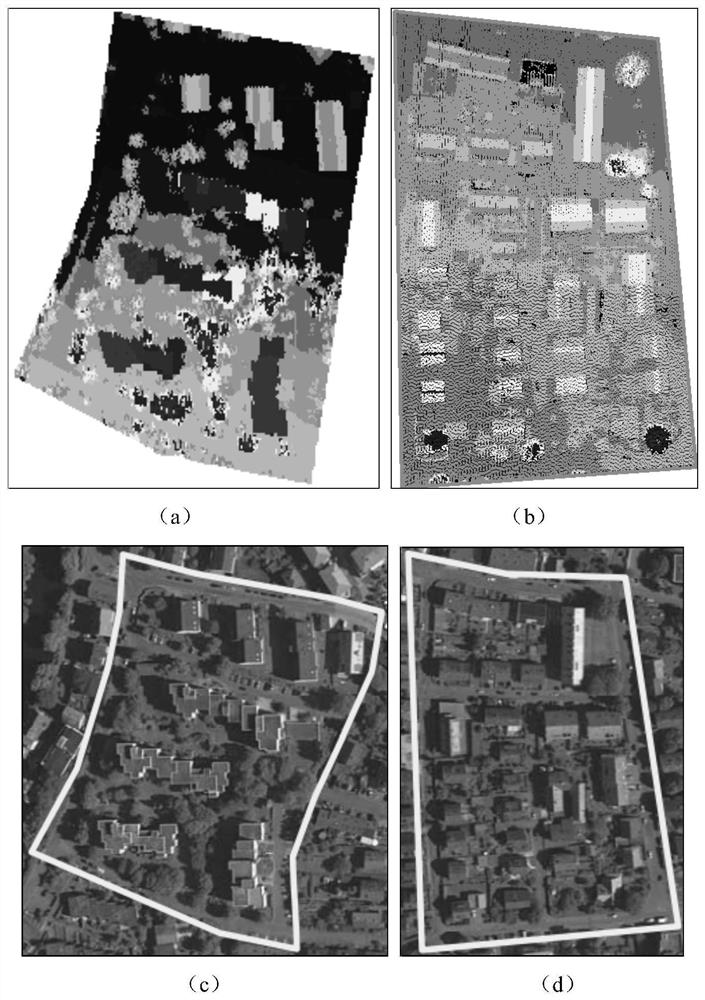
[0059] In this embodiment, two groups (Area2 and Area3, such as figure 2 Shown) The urban sample data specially used for the test of the target classification algorithm is used as the experimental data to test the validity and feasibility of the method. The experimental data was acquired by Leica ALS50 airborne laser scanner ...
PUM
 Abstract
Description
Claims
Application Information