Method for measuring the space-time multi-variant hydrological time series similarity
A hydrological time series and similarity measurement technology, applied in complex mathematical operations, instruments, climate change adaptation, etc., can solve the problem of lack of spatial dimension in the similarity measurement of hydrological multivariate time series
- Summary
- Abstract
- Description
- Claims
- Application Information
AI Technical Summary
Problems solved by technology
Method used
Image
Examples
Embodiment Construction
[0040] Below in conjunction with specific embodiment, further illustrate the present invention, should be understood that these embodiments are only used to illustrate the present invention and are not intended to limit the scope of the present invention, after having read the present invention, those skilled in the art will understand various equivalent forms of the present invention All modifications fall within the scope defined by the appended claims of the present application.
[0041] Such as Figure 7 As shown, the spatio-temporal multivariate hydrological time series similarity measurement method includes the following steps in turn:
[0042] (1) Rasterize the original rainfall data of the flood;
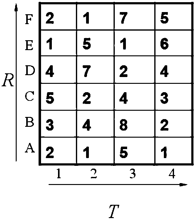
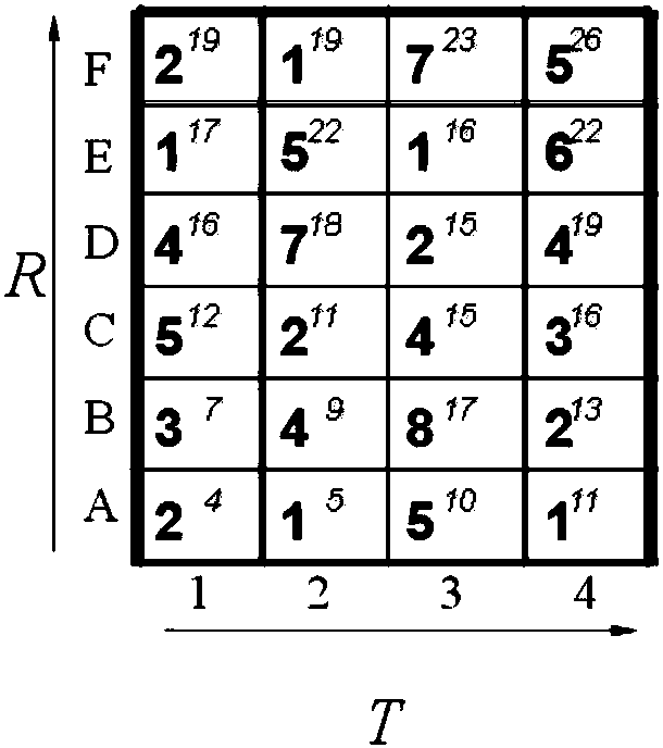
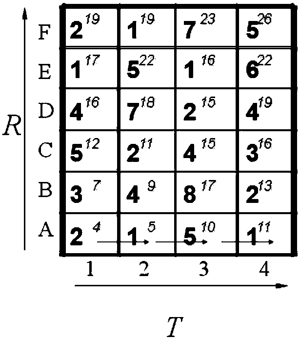
[0043] (2) The rasterized matrix data generated by step 1 utilizes the 2D-DTW algorithm to calculate the distance between the two rows of vectors in the two frames of each other in the two rainfall matrix sequences;
[0044] (3) Use the distance between the two-row row vec...
PUM
 Abstract
Description
Claims
Application Information
 - R&D
- Intellectual Property
- Life Sciences
- Materials
- Tech Scout
- Unparalleled Data Quality
- Higher Quality Content
- 60% Fewer Hallucinations
Browse by: Latest US Patents, China's latest patents, Technical Efficacy Thesaurus, Application Domain, Technology Topic, Popular Technical Reports.
© 2025 PatSnap. All rights reserved.Legal|Privacy policy|Modern Slavery Act Transparency Statement|Sitemap|About US| Contact US: help@patsnap.com


