An Autonomous Aggregation Method for Remote Sensing Satellite Imaging Tasks
A technology of remote sensing satellite and aggregation method, which is applied in the direction of integrated navigator, etc., and can solve the problem of low efficiency of remote sensing satellite tasks
- Summary
- Abstract
- Description
- Claims
- Application Information
AI Technical Summary
Problems solved by technology
Method used
Image
Examples
Embodiment Construction
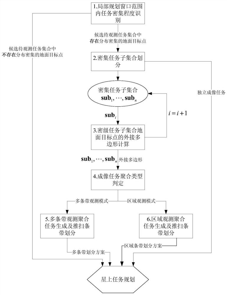
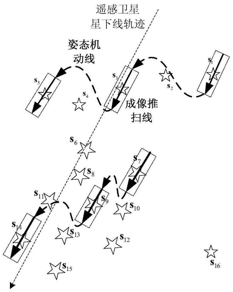
[0065] Autonomous mission planning technology can improve the ability of remote sensing satellites to operate intelligently and quickly to respond quickly to tasks, and to obtain greater economic benefits through the improvement of the application efficiency of remote sensing satellites, so it has a strong market demand. However, ground observation missions from multiple terminals have not been coordinated and managed on the ground. If they are densely distributed in a local area, remote sensing satellites will not have high mission efficiency per unit time. This raises questions for the effective realization and efficient operation of on-board autonomous mission planning. challenge.
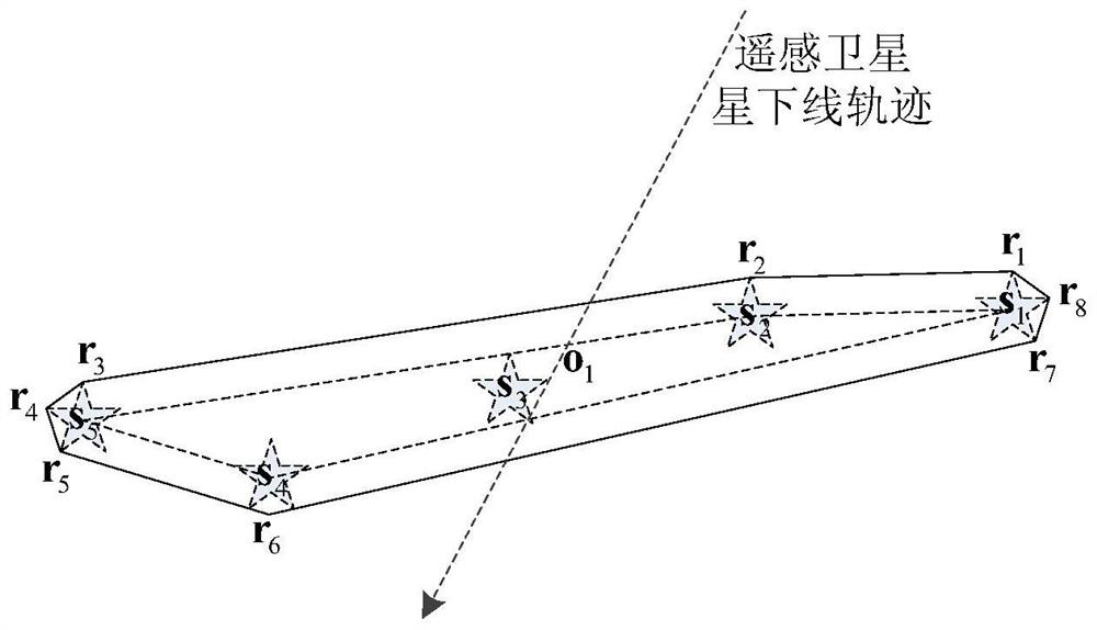
[0066] Aiming at scenes where the prior art cannot be applied to local intensive tasks in a complex environment, the present invention starts from the perspective of engineering application, taking into account the non-track trajectory imaging capabilities and the imaging capabilities of striped-fra...
PUM
 Abstract
Description
Claims
Application Information
 - R&D
- Intellectual Property
- Life Sciences
- Materials
- Tech Scout
- Unparalleled Data Quality
- Higher Quality Content
- 60% Fewer Hallucinations
Browse by: Latest US Patents, China's latest patents, Technical Efficacy Thesaurus, Application Domain, Technology Topic, Popular Technical Reports.
© 2025 PatSnap. All rights reserved.Legal|Privacy policy|Modern Slavery Act Transparency Statement|Sitemap|About US| Contact US: help@patsnap.com


