Coordinate positioning city door plate numbering system and positioning indicator plate thereof
A technology of coordinates and signs, applied in the direction of signs, display devices, instruments, etc., can solve the problems of large limitations and inconvenience, and achieve the effect of concise expression, saving manpower, and promoting urban economic construction
- Summary
- Abstract
- Description
- Claims
- Application Information
AI Technical Summary
Problems solved by technology
Method used
Image
Examples
Embodiment Construction
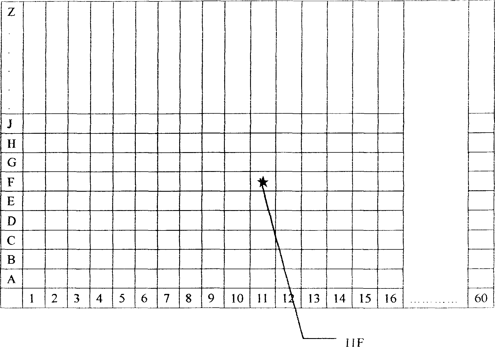
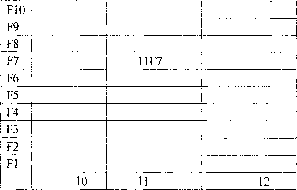
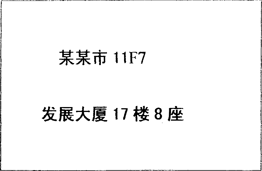
[0061] see figure 1 , the coordinate positioning tuba is formed by the area code and the road number. To divide the area code, first determine the westernmost point of the city on the city map, and divide it into several districts equidistantly from west to east. Each zone is represented by Arabic numerals, such as 1, 2, 3, 4...99 zones. District 1 is located in the westernmost part of the city. Area code numbers increase from west to east. For example, based on the distance of 30 kilometers from east to west of the city, 60 districts are set up, and the span of each district is 500 meters; to divide the road number, first determine the southernmost point of the city on the city map, and divide it equally from south to north For several ways. The number of roads can be set according to the urban conditions. Each track is represented in alphabetical order. That is, according to A, B, C, D, E, F, G, H, J, K, L, M, N, P, R, S, T, U, V, W, X, Y, Z are divided into 23 Road (...
PUM
 Abstract
Description
Claims
Application Information
 - R&D
- Intellectual Property
- Life Sciences
- Materials
- Tech Scout
- Unparalleled Data Quality
- Higher Quality Content
- 60% Fewer Hallucinations
Browse by: Latest US Patents, China's latest patents, Technical Efficacy Thesaurus, Application Domain, Technology Topic, Popular Technical Reports.
© 2025 PatSnap. All rights reserved.Legal|Privacy policy|Modern Slavery Act Transparency Statement|Sitemap|About US| Contact US: help@patsnap.com


