Method for estimating the geographical latitude, longitude and elevation of a mobile electronic telecommunication device (TD)

geographic latitude technology, applied in the field of method for estimating the geographical latitude, longitude and elevation of a mobile electronic telecommunication device, can solve problems such as determining the exact location, and achieve the effect of accurate location information and minimizing the expected distance error

Inactive Publication Date: 2013-08-27
SHEN JAMES
View PDF10 Cites 1 Cited by
  • Summary
  • Abstract
  • Description
  • Claims
  • Application Information

AI Technical Summary

Problems solved by technology

Unfortunately, there are some challenges in determining the exact location of the mobile phone caller.
Usually the information from the closest sensor (cell tower) can provide a very general indication of the caller's location; however it is not specific enough to determine the exact location which could be critical in situations such as emergency situations, rescue operations or loss of the telecommunication device.

Method used


Image

  • Method for estimating the geographical latitude, longitude and elevation of a mobile electronic telecommunication device (TD)
  • Method for estimating the geographical latitude, longitude and elevation of a mobile electronic telecommunication device (TD)

Examples


Embodiment Construction

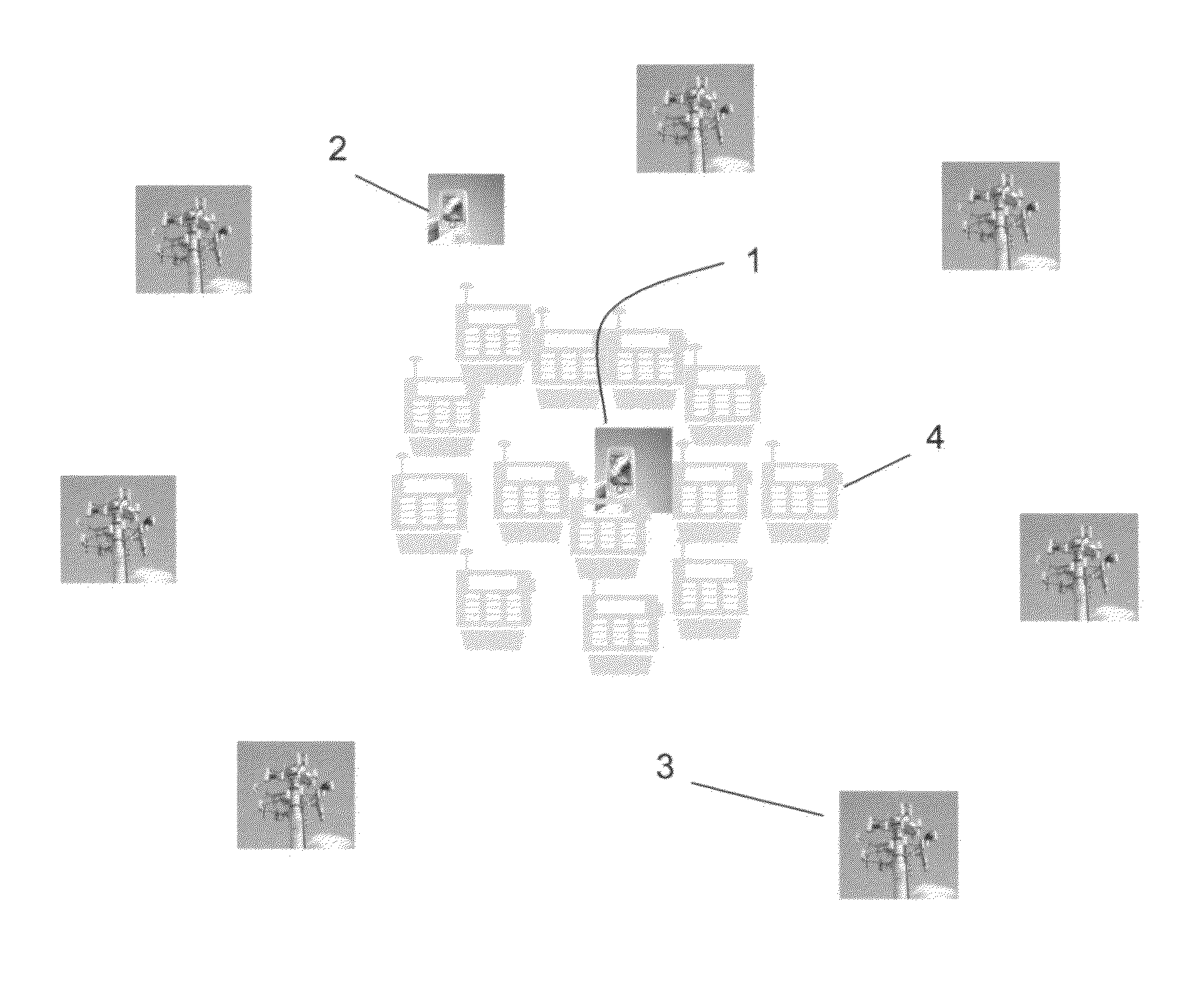
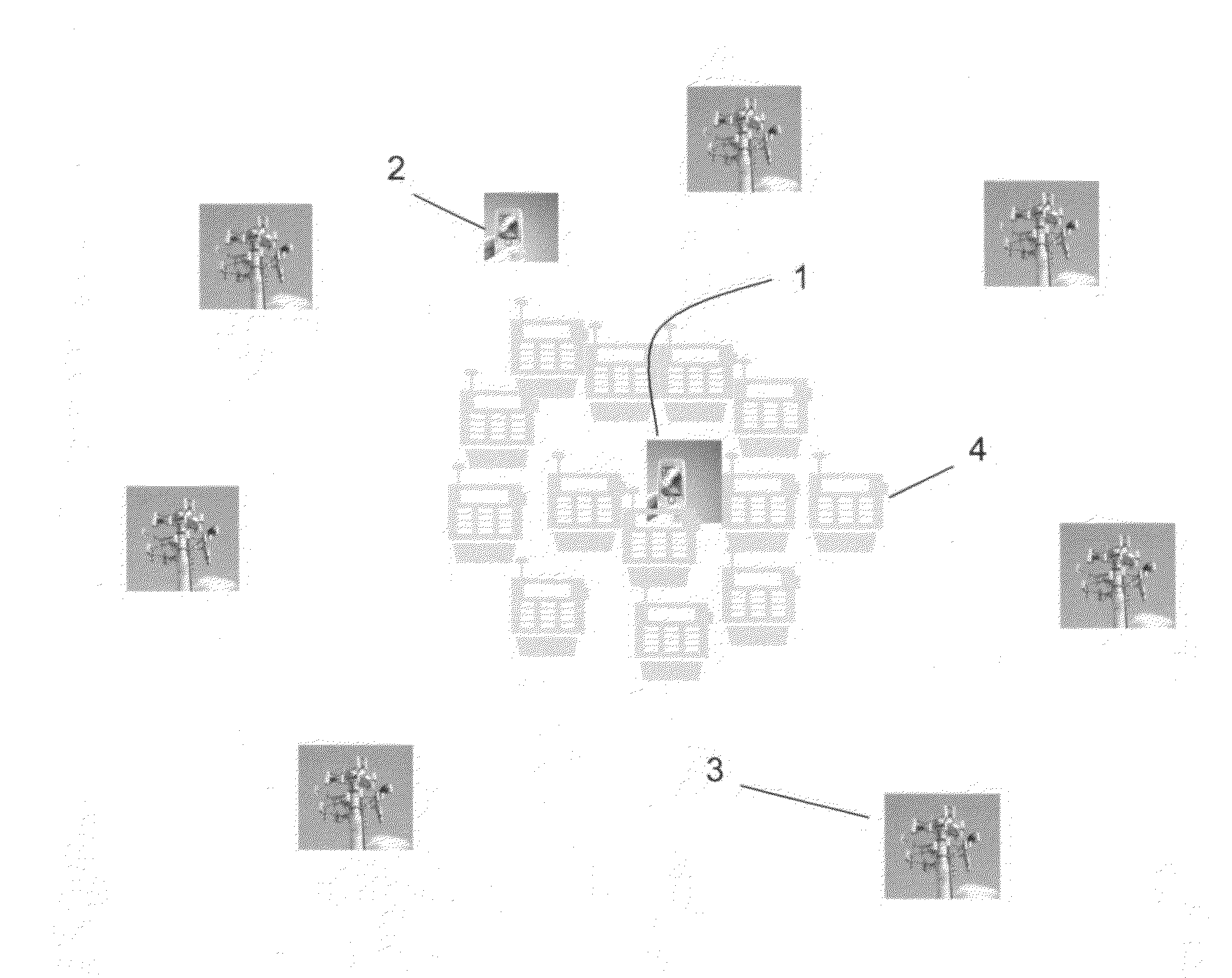
[0010]This locating method, illustrated in FIG. 1, uses the following information collected and processed by a telecommunication device (TD) 1 or a remote data processing station 2 over a given time period (of length T), to estimate the (x, y, z) coordinate of the TD.[0011]a) The stationary (x, y, and z) coordinates of the responder 3;[0012]b) The time of the Ping—Packet Internet Groper—and that of the response;[0013]c) The distance between the TD and the responder based on the round-trip-time of each response (the time between each Ping emitted by the TD, and the time of the response to the Ping);[0014]d) The strength of the response signal, S1;[0015]e) The ambient conditions of the telecommunication device, S2;[0016]f) Electronic performance indicators such as CPU performance and device power level, S3.[0017]g) Other information that may affect the quality of the signal, SN.

[0018]The method randomly draws multiple sets of three responses, and from each set it generates a possible ...


PUM


Abstract

A method for estimating the geographical latitude, longitude and elevation of a mobile electronic telecommunication device (TD) is provided. The method draws random information over a given time period from multiple responders. A triangulation and signal quality analysis is performed to determine the possible location of the TD. Using the statistical information and its analysis the location (x, y and z coordinates) as well as the velocity and acceleration of the device is estimated. The present invention provides extremely accurate location information.

Description

FIELD OF INVENTION[0001]The present invention relates to a method for estimating the geographical latitude, longitude and elevation of a mobile electronic telecommunication device (TD), within a confidence interval, as well as for estimating its speed and direction.BACKGROUND OF THE INVENTION[0002]The popularity of electronic telecommunication devices (TDs) has increased tremendously in recent years. For example, it has been estimated that there are above five billion cell phone subscribers in the world. This increase in popularity also brings with it the need for effective and accurate locating methods of these TDs. The need to determine the location of a mobile telecommunication device may come from emergency services, public safety, and other situations such as lost of the mobile communication device.[0003]Locating of mobile telecommunication devices consists in determining the geographical latitude, longitude and elevation of a mobile electronic telecommunication device (TD), wi...

Claims


Application Information

Patent Timeline
Patent Type & Authority Patents(United States)
IPC IPC(8): H04W24/00
CPCG01S1/08H04W64/006
Inventor SHEN, JAMES
Owner SHEN JAMES
Why Eureka
Try Eureka