Positioning accuracy using 3D building models
a technology of building models and positioning accuracy, applied in the field of global positioning systems, can solve the problems of inaccurate time measurement, affecting the accuracy of mobile device's estimation of the distance of each satellite, and affecting the accuracy of mobile device's estimation of geographic coordinates,
- Summary
- Abstract
- Description
- Claims
- Application Information
AI Technical Summary
Problems solved by technology
Method used
Image
Examples
Embodiment Construction
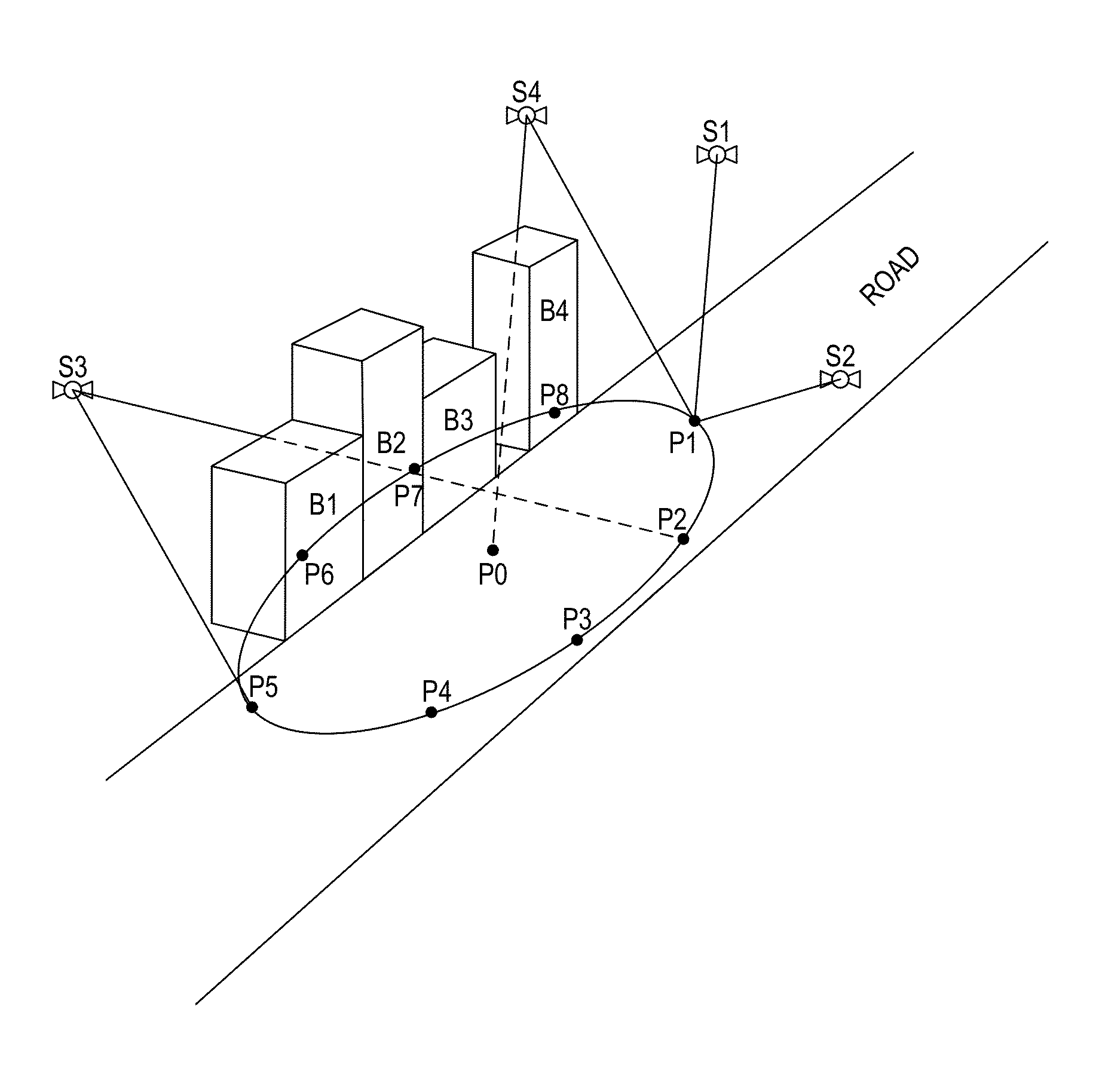
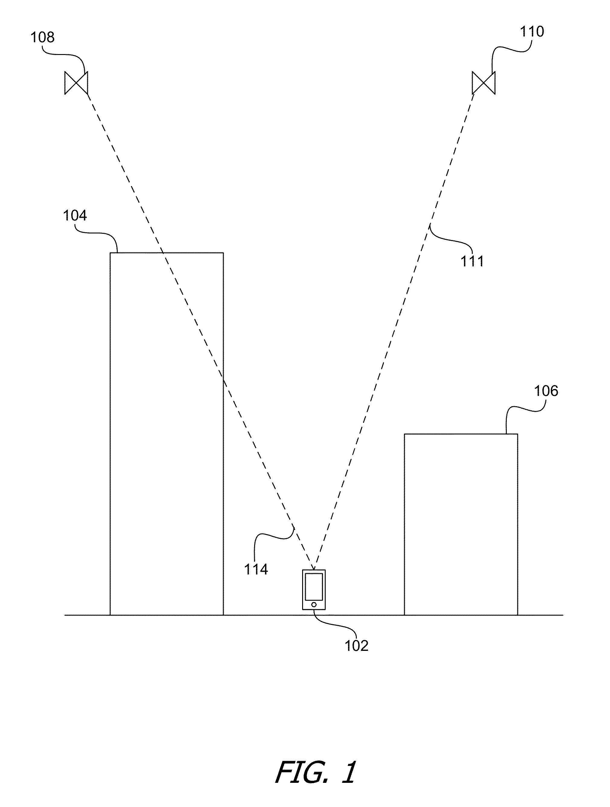
[0012]Using techniques disclosed herein, a mobile device such as a smart phone can use a digital 3D model of the environment in which the mobile device is generally predicted to be in order to determine which lines-of-sight from various satellites are likely to be obstructed by buildings or other objects in that environment.
Determining Occluded Signals Using a Digital 3D Model
[0013]FIG. 1 is a diagram that illustrates a mobile device in an urban environment where some direct line-of-sight signals from some satellites may be obstructed by buildings or other objects. As shown in FIG. 1, a mobile device 102 is actually located at ground-level on a street in between two buildings 104 and 106. However, although mobile device 102 might possess information that places mobile device 102 somewhere in the vicinity of buildings 104 and 106, mobile device 102 might not be able to estimate its position with high accuracy without relying on signals that mobile device 102 receives from one or more...
PUM
 Abstract
Description
Claims
Application Information
 - R&D
- Intellectual Property
- Life Sciences
- Materials
- Tech Scout
- Unparalleled Data Quality
- Higher Quality Content
- 60% Fewer Hallucinations
Browse by: Latest US Patents, China's latest patents, Technical Efficacy Thesaurus, Application Domain, Technology Topic, Popular Technical Reports.
© 2025 PatSnap. All rights reserved.Legal|Privacy policy|Modern Slavery Act Transparency Statement|Sitemap|About US| Contact US: help@patsnap.com


