Technique and method for geotechnical engineering investigation and sampling based on soil variability
A technology of geotechnical engineering and variability, applied in the field of foundation soil survey, infrastructure engineering, construction, etc., can solve the problems of lack of unified, effective, reliable and standard methods
- Summary
- Abstract
- Description
- Claims
- Application Information
AI Technical Summary
Problems solved by technology
Method used
Image
Examples
Embodiment example
[0026] In this embodiment, a geotechnical engineering investigation and sampling technology based on soil variability is applied to the construction of airport facilities, large hotels, sports centers and highway projects in the COTAI section of Macau. The application process is as follows:
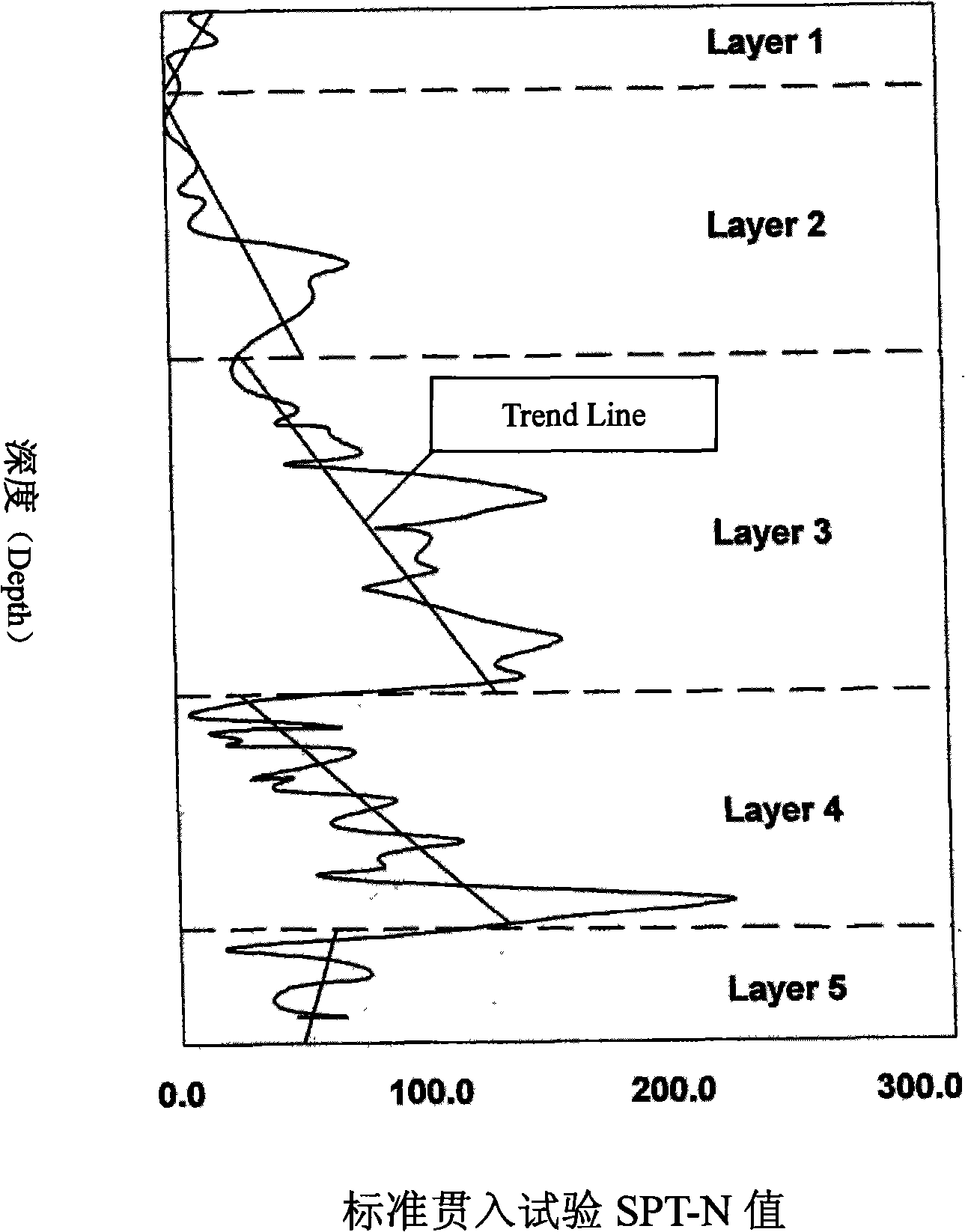
[0027] 1. According to the past geotechnical engineering survey data in Macao provided by engineering units, consulting companies, universities and government departments, the soil layers in this area are 24 meters thick clay layer and 22 meters thick sandy soil layer, and the establishment of geotechnical engineering survey database;
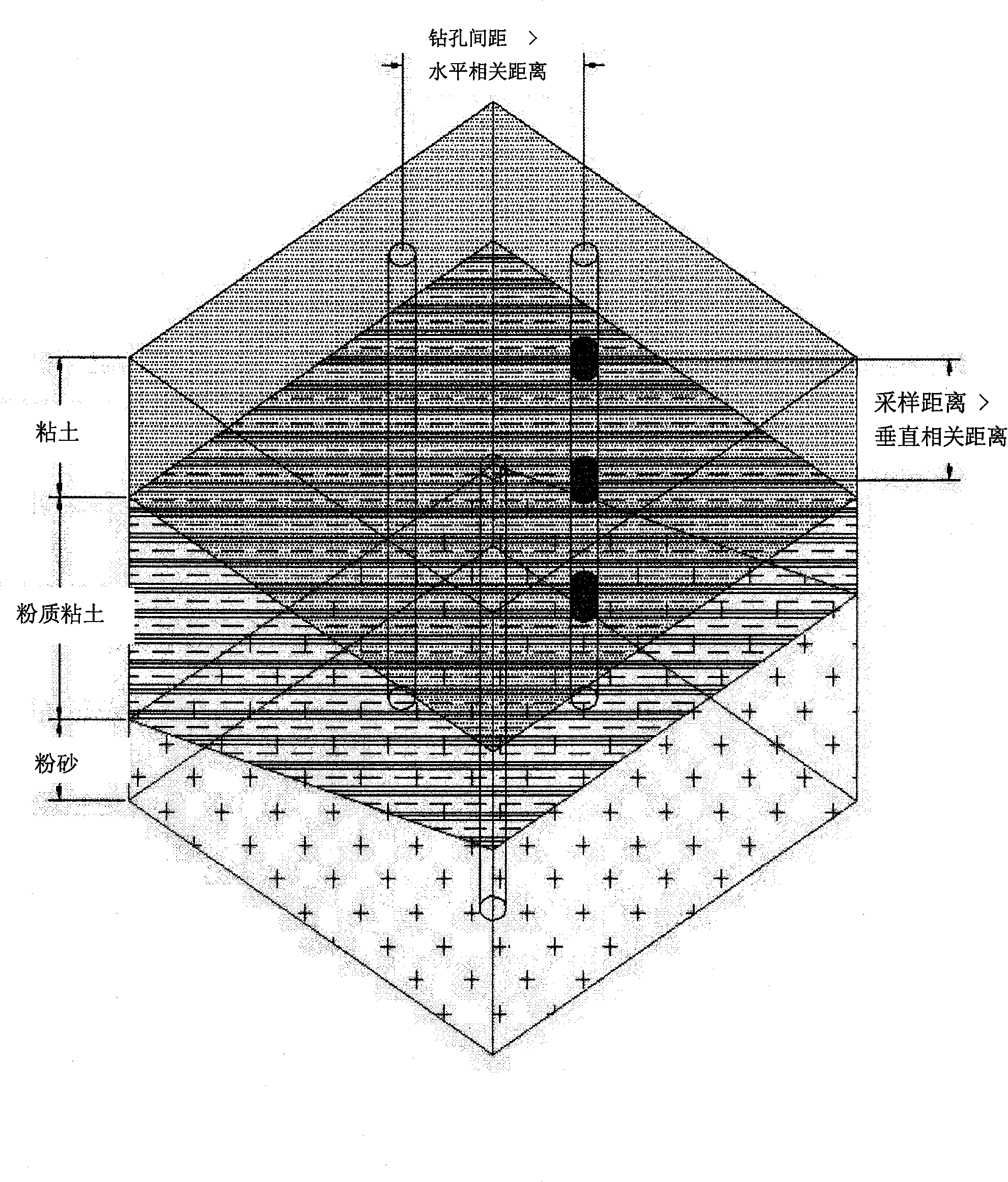
[0028] 2. Calculate the distance between optimal survey and sampling techniques, the specific steps are as follows:
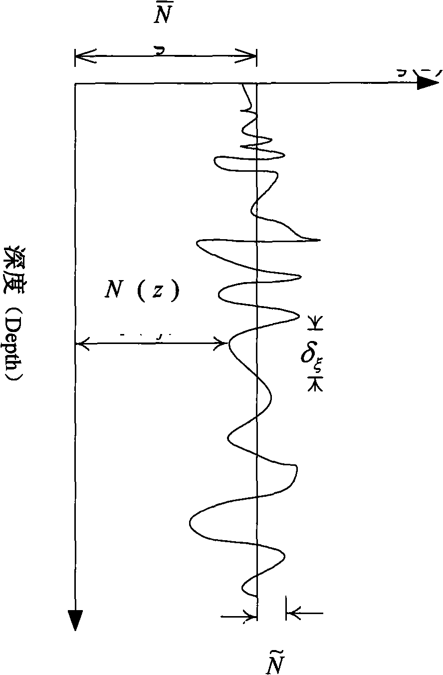
[0029] Calculate the vertical and horizontal relative distances between clay and sand layers:
[0030] Clay: vertical correlation distance = 1.07m, horizontal correlation distance = 130
[0031] Sandy soil: vertical correlation distance ...
PUM
 Abstract
Description
Claims
Application Information
 - R&D
- Intellectual Property
- Life Sciences
- Materials
- Tech Scout
- Unparalleled Data Quality
- Higher Quality Content
- 60% Fewer Hallucinations
Browse by: Latest US Patents, China's latest patents, Technical Efficacy Thesaurus, Application Domain, Technology Topic, Popular Technical Reports.
© 2025 PatSnap. All rights reserved.Legal|Privacy policy|Modern Slavery Act Transparency Statement|Sitemap|About US| Contact US: help@patsnap.com


