

Method for generating three-dimensional terrain feature points on irregular triangulation network
A three-dimensional terrain and triangle technology, applied in the field of selection, can solve the problems of difficult terrain feature extraction, poor results, loss, etc., and achieve the effect of typical and reasonable point distribution, optimized terrain details, and small redundancy of point data
- Summary
- Abstract
- Description
- Claims
- Application Information
AI Technical Summary
Problems solved by technology
Method used
Image

Examples
Embodiment Construction
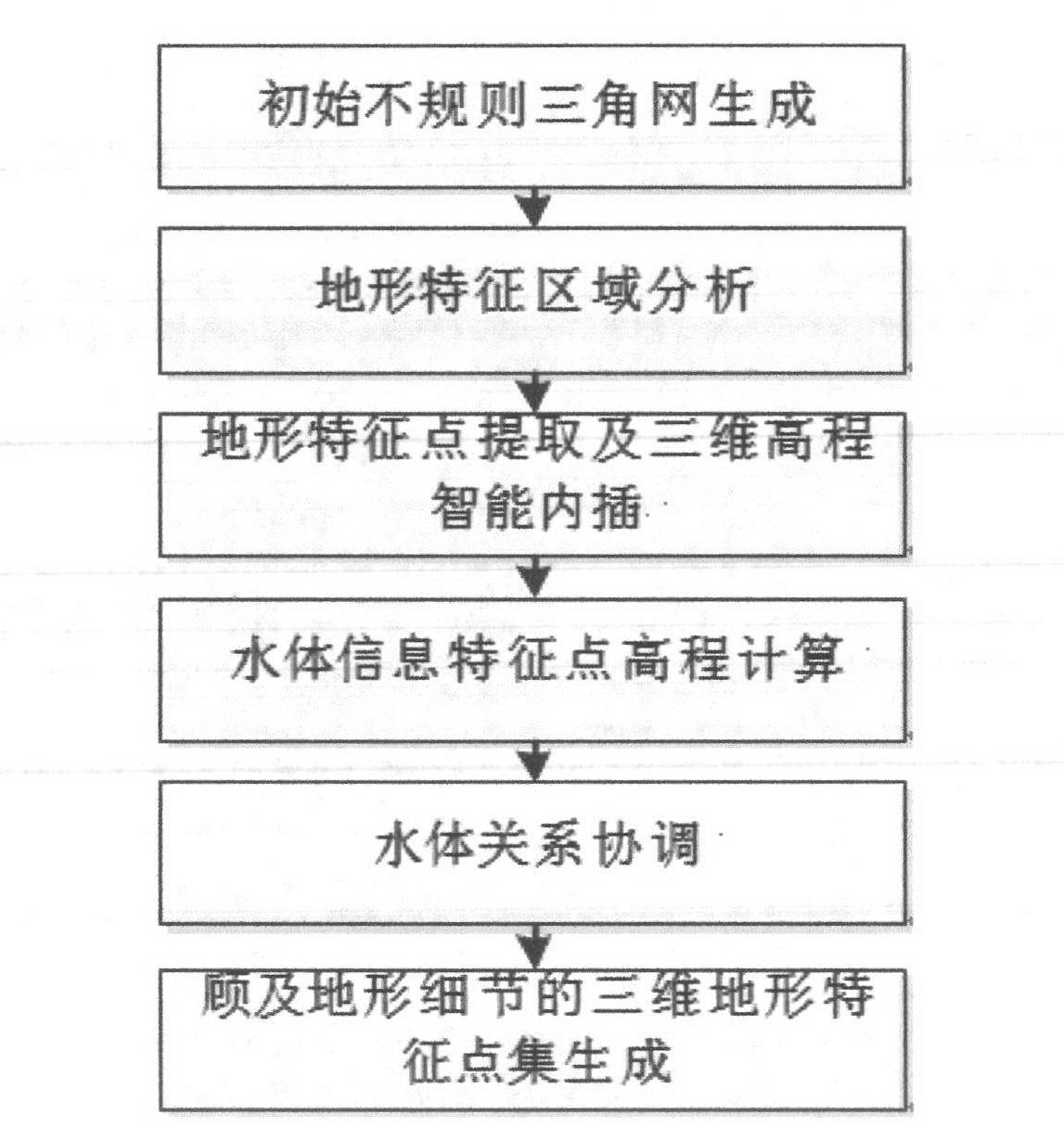
[0036] Such as figure 1As shown, the method for generating three-dimensional terrain feature points on an irregular triangulation network of the present invention comprises the following steps:
[0037] (1) Initial triangulation generation steps: According to the principle of Delaunay triangulation, the contour lines are discretized into three-dimensional elevation point sets, and an initial irregular triangulation is constructed.
[0038] Terrain feature area analysis steps: initial irregular triangulation analysis: on the irregular triangulation, if the line segment between two adjacent points on the same contour line falls on one side of a triangle in the irregular triangulation, mark the side are "structural edges"; other edges are marked as "non-structural edges".
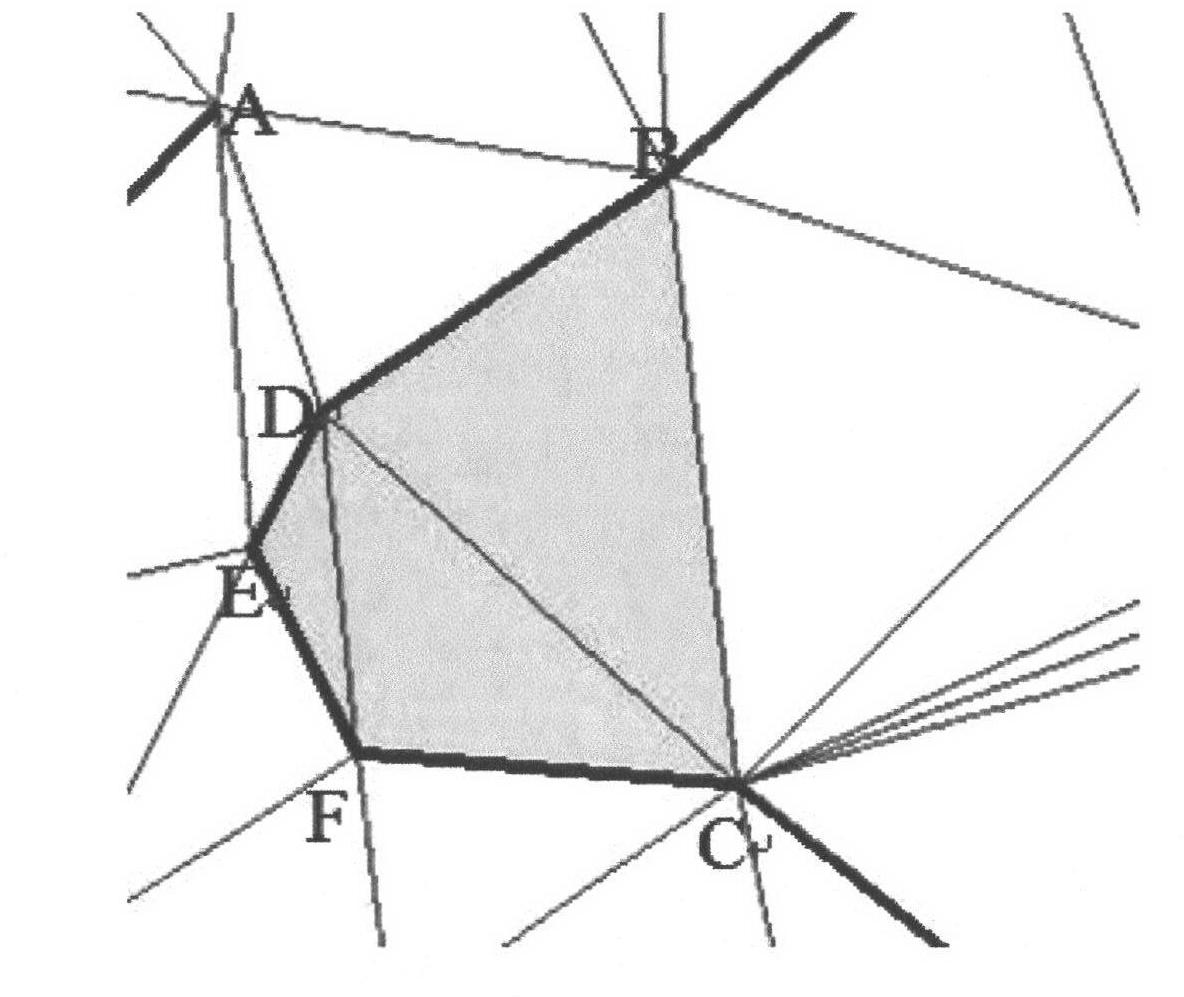
[0039] Such as figure 2 As shown, the BD edge is a structural edge, and the BC, BA, and DC edges are all non-structural edges.
[0040] Triangular structure analysis: traverse the entire irregular triangul...
PUM
 Abstract
Description
Claims
Application Information