Panoramic Image Mapping Method
A panoramic image and mapping method technology, applied in the new panoramic image mapping technology field, can solve problems such as distortion and oversampling, and achieve the effect of small distortion and reduced oversampling
- Summary
- Abstract
- Description
- Claims
- Application Information
AI Technical Summary
Problems solved by technology
Method used
Image
Examples
Embodiment Construction
[0039] Below in conjunction with accompanying drawing, further describe the present invention through embodiment, but do not limit the scope of the present invention in any way.
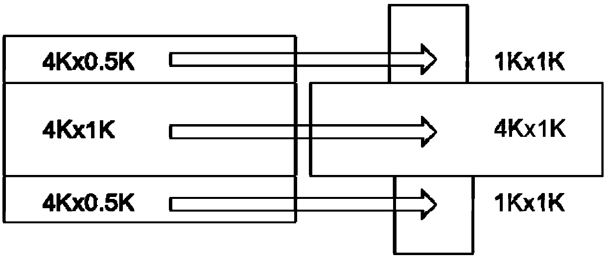
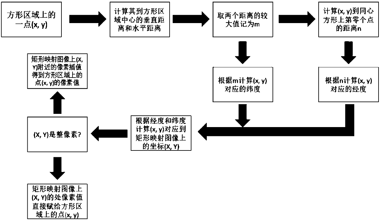
[0040] The present invention provides a new panoramic image mapping method, which can be used for equirectangular panoramic images, effectively reduces the distortion problem in the mapping process and reduces the code rate required for encoding panoramic images, and can improve the overshoot existing in rectangular mapping. The problem with sampling.
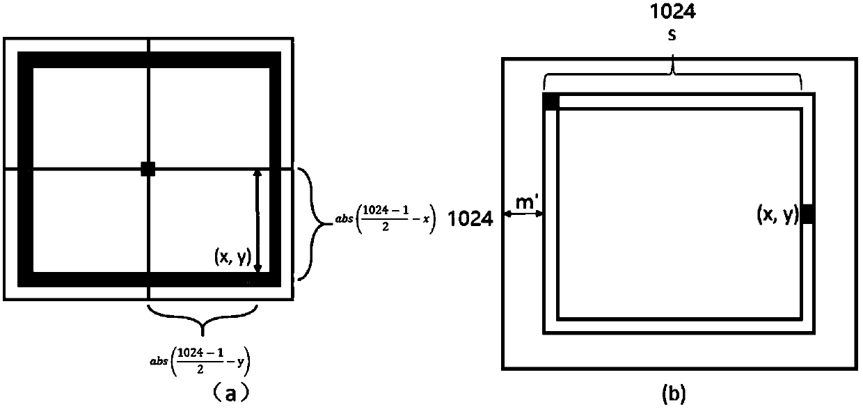
[0041] The mapping method provided by the present invention does not map the areas with lower latitudes in the rectangular mapping panoramic image, but only maps the areas with higher latitudes in the image to two square areas, effectively reducing the oversampling of high-latitude areas. When the distortion is small, the number of pixels of the panoramic image and the bit rate required for encoding are effectively reduced. The method of the present ...
PUM
 Abstract
Description
Claims
Application Information
 - R&D
- Intellectual Property
- Life Sciences
- Materials
- Tech Scout
- Unparalleled Data Quality
- Higher Quality Content
- 60% Fewer Hallucinations
Browse by: Latest US Patents, China's latest patents, Technical Efficacy Thesaurus, Application Domain, Technology Topic, Popular Technical Reports.
© 2025 PatSnap. All rights reserved.Legal|Privacy policy|Modern Slavery Act Transparency Statement|Sitemap|About US| Contact US: help@patsnap.com


