Mapping method from GPS (global positioning system) map to three-dimensional map

A technology of three-dimensional map and mapping method, applied in the field of mapping from GPS map to three-dimensional map, can solve the problems of registration error of three-dimensional map of campus and latitude and longitude information, and achieve the effect of improving the lack of mapping accuracy

Active Publication Date: 2017-02-22
FUZHOU UNIV
View PDF3 Cites 17 Cited by
  • Summary
  • Abstract
  • Description
  • Claims
  • Application Information

AI Technical Summary

Problems solved by technology

After three-dimensional rendering, the longitude-latitude coordinate system has changed from the original plane Cartesian coordinate system to an oblique coordinate system, that is, the two coordinate axes in the coordinate system are not perpendicular, but are still straight lines. At the same time, due to the compression deformation during the drawing process, the campus three-dimensional map There is a certain error in the registration with the longitude and latitude information

Method used


Image

  • Mapping method from GPS (global positioning system) map to three-dimensional map
  • Mapping method from GPS (global positioning system) map to three-dimensional map
  • Mapping method from GPS (global positioning system) map to three-dimensional map

Examples


Embodiment Construction

[0023] The present invention will be further explained below in conjunction with the accompanying drawings and specific embodiments.

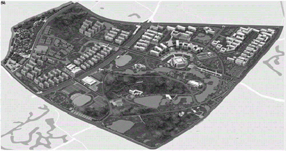
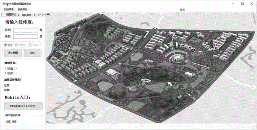
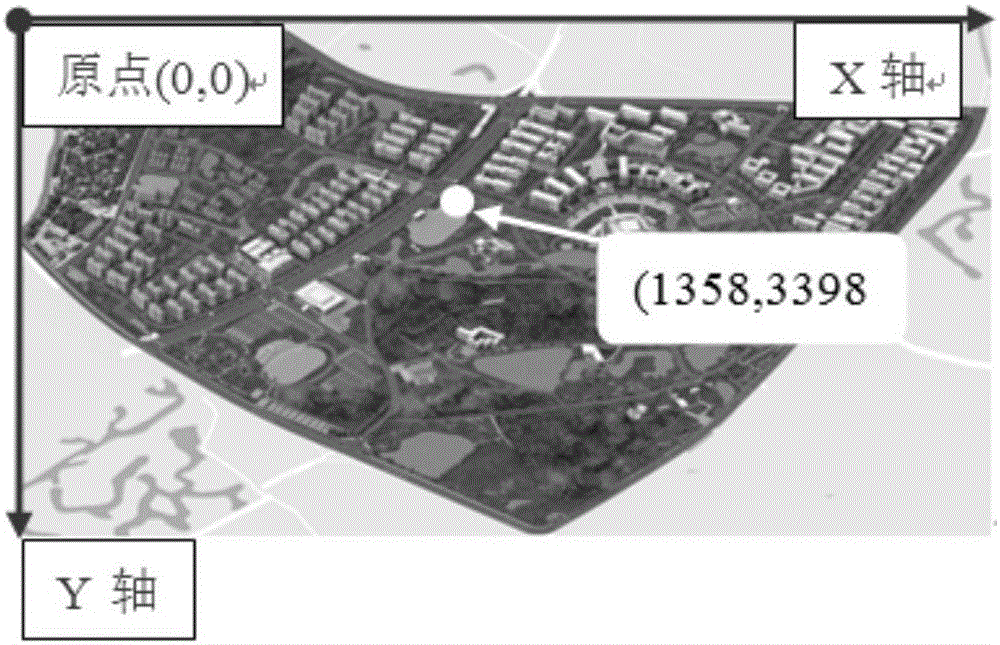
[0024] The invention provides a map mapping method based on affine and nonlinear point transformation. First, by collecting the latitude and longitude data of the marker points in the three-dimensional campus map and the position coordinates in the corresponding three-dimensional map picture, the affine transformation relationship between the real longitude and latitude of the campus map and the position coordinates of the three-dimensional map picture after projection drawing is calculated. Then, the GPS real longitude and latitude of a large number of feature points are collected, and the position coordinate point set A in the corresponding three-dimensional map picture is converted through the affine transformation relationship, and the real coordinate points corresponding to these feature points are manually marked in the three-dimensional m...


PUM


Abstract

The invention provides a map mapping method based on affine and nonlinear point transformation. According to the method, acquiring longitude and latitude data of marking points in a three-dimensional campus map and corresponding position coordinates in a three-dimensional map picture, and calculating affine transformation relationships from real longitudes and latitudes of the campus map to the position coordinates of the three-dimensional map picture after being drawn in a projection manner; acquiring real longitudes and latitudes of GPSs of a large number of characteristic points, converting position coordinate point sets A in the corresponding three-dimensional map picture by the affine transformation relationships, calibrating real-picture position coordinate point sets B corresponding to the characteristic points in the three-dimensional map picture to obtain a training sample point set {A,B}, correcting coordinate errors by the aid of a nonlinear point registration technology of a free-form deformation module based on a B-spline; enabling the mapped points to project and display on a calibrated road center line by the aid of normal projection technologies. The mapping method achieves excellent map navigation effects.

Description

technical field [0001] The invention relates to the field of computer application technology and map registration technology, in particular to a mapping method from a GPS map to a three-dimensional map. Background technique [0002] In the past ten years, with the expansion of the scale of college campuses across the country, the popularity of campus buses has increased significantly. According to statistics, 38% of the top 100 colleges and universities in the comprehensive ranking in 2014 have opened campus buses. Taking Fuzhou University as an example, among the colleges and universities in Fuzhou University Town, 80% of the schools offer campus buses. It provides great convenience for students to move around the school, but there are also some problems that need to be solved urgently. From the manager's point of view, campus buses have serious scheduling problems, resulting in low resource utilization. The management of campus buses is quite difficult. Managers cannot ...

Claims


Application Information

Patent Timeline
Patent Type & Authority Applications(China)
IPC IPC(8): G06T17/05G06F17/30
CPCG06F16/29G06T17/05
Inventor 高钦泉王堃陈锋钱慧
Owner FUZHOU UNIV
Why Eureka
Try Eureka