A method of distance map reconstruction and skip path planning based on anti-collision radius
A path planning and map reconstruction technology, applied in navigation computing tools and other directions, can solve problems such as robustness and real-time performance that cannot meet requirements, redundant detection, and small proportion of obstacles
- Summary
- Abstract
- Description
- Claims
- Application Information
AI Technical Summary
Problems solved by technology
Method used
Image
Examples
Embodiment Construction
[0049] Figure 6 to Figure 10 A specific embodiment of a distance map reconstruction and jump path planning method based on the collision avoidance radius is shown, including
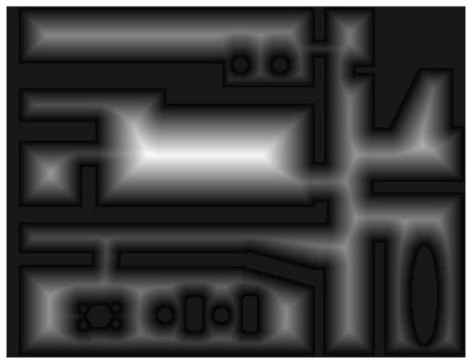
[0050]Step 1: On the two-dimensional plane eight-connected grid path planning map where the planning subject is located, construct a distance map DM based on the anti-collision radius and initialize it. The data structure of the distance map DM includes the eight-connected The obstacle position matrix obst and the distance matrix dist of the same dimension as the grid path planning map, the element obst in the obstacle position matrix obst s What is stored is the coordinate of the grid n where the obstacle closest to the grid s is located, and the element dist in the distance matrix dist s Stored is the Euclidean distance between the grid s and the grid n where the nearest obstacle is located;
[0051] In this embodiment, the use of the distance map DM can help the planning subject complete collision ...
PUM
 Abstract
Description
Claims
Application Information
 - R&D
- Intellectual Property
- Life Sciences
- Materials
- Tech Scout
- Unparalleled Data Quality
- Higher Quality Content
- 60% Fewer Hallucinations
Browse by: Latest US Patents, China's latest patents, Technical Efficacy Thesaurus, Application Domain, Technology Topic, Popular Technical Reports.
© 2025 PatSnap. All rights reserved.Legal|Privacy policy|Modern Slavery Act Transparency Statement|Sitemap|About US| Contact US: help@patsnap.com


