A Boundary Line Extraction Method of Terrain Scanning Point Cloud
An extraction method and boundary line technology, applied in the field of surveying and mapping engineering, can solve the problems of poor calculation accuracy, cumbersome calculation process, fast calculation speed, etc., and achieve the effect of small calculation amount and simple principle.
- Summary
- Abstract
- Description
- Claims
- Application Information
AI Technical Summary
Problems solved by technology
Method used
Image
Examples
Embodiment
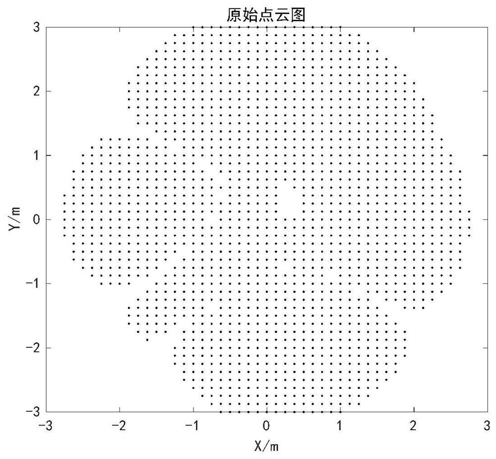
[0078] The point cloud distribution map of the original boundary to be extracted is as follows: figure 1 shown by figure 1 It can be seen that the boundary line of the point cloud is an irregular polygon, and it is a non-convex polygon, which can represent an example of point cloud distribution under normal circumstances. This embodiment extracts the boundary line from this point cloud image to verify the point cloud involved in the present invention Boundary line extraction method.
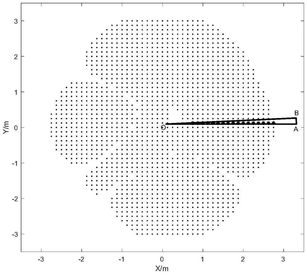
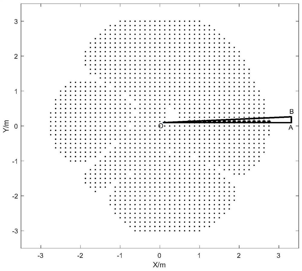
[0079] Calculate the center coordinates of the center point O of the point cloud mean value distribution, and the initial position of the triangle ΔAOB, the result is as follows figure 2 shown. The boundary line extraction process is shown as Figure 3(1)~3(12) shown
[0080] Figure 3(1)~3(12) The point cloud boundary line extraction process is shown. Figure 3(1) is the starting position map of boundary line extraction, and Figure 3(12) is the effect picture at the end of point cloud bound...
PUM
 Abstract
Description
Claims
Application Information
 - R&D
- Intellectual Property
- Life Sciences
- Materials
- Tech Scout
- Unparalleled Data Quality
- Higher Quality Content
- 60% Fewer Hallucinations
Browse by: Latest US Patents, China's latest patents, Technical Efficacy Thesaurus, Application Domain, Technology Topic, Popular Technical Reports.
© 2025 PatSnap. All rights reserved.Legal|Privacy policy|Modern Slavery Act Transparency Statement|Sitemap|About US| Contact US: help@patsnap.com


