Land deterioration (desert) evaluation parameter remote control inversion and supervision technique method

A technique for evaluating parameters, land degradation, applied in the field of information

Inactive Publication Date: 2007-03-07
王长耀 +2
View PDF0 Cites 27 Cited by
  • Summary
  • Abstract
  • Description
  • Claims
  • Application Information

AI Technical Summary

Problems solved by technology

[0004] Although a large number of land degradation evaluation parameters have been studied interna

Method used


Image

  • Land deterioration (desert) evaluation parameter remote control inversion and supervision technique method
  • Land deterioration (desert) evaluation parameter remote control inversion and supervision technique method
  • Land deterioration (desert) evaluation parameter remote control inversion and supervision technique method

Examples


Embodiment Construction

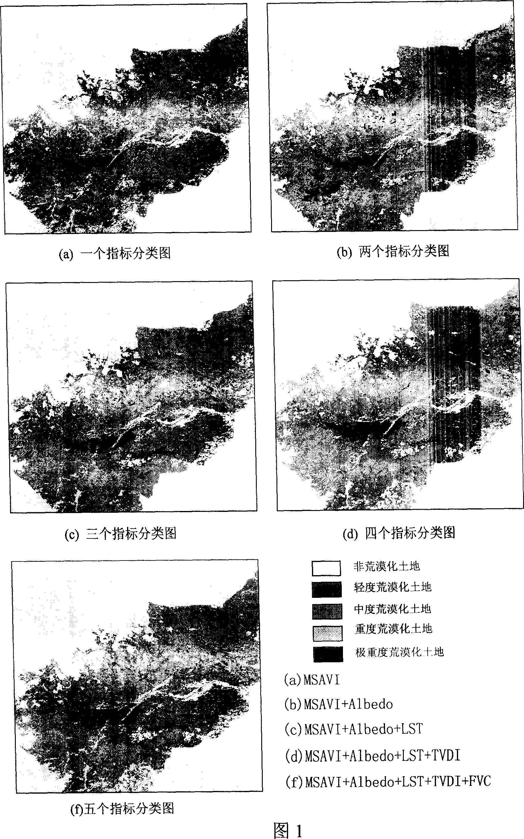
[0021] In the preferred implementation case of the present invention, a comprehensive index system for desertification remote sensing monitoring is first established, including the selection and evaluation of land degradation (desertification) remote sensing parameters and the determination of the desertification degree index system.

[0022] 1) Selection and evaluation of remote sensing parameters for land degradation (desertification)

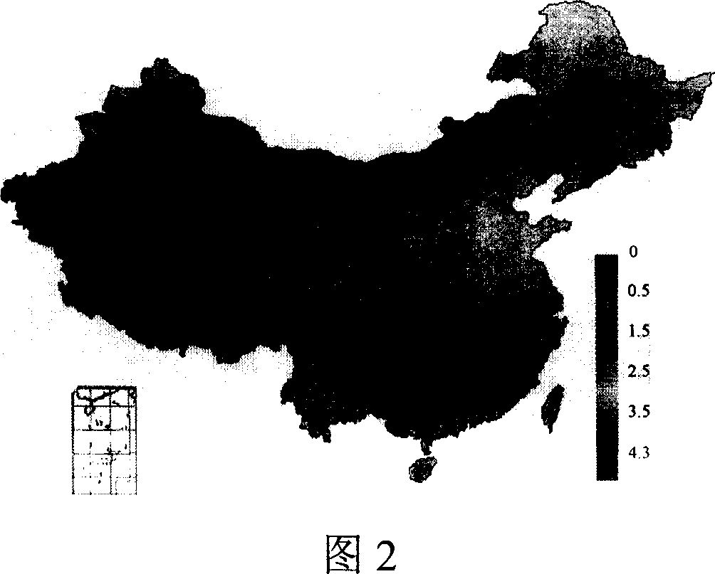
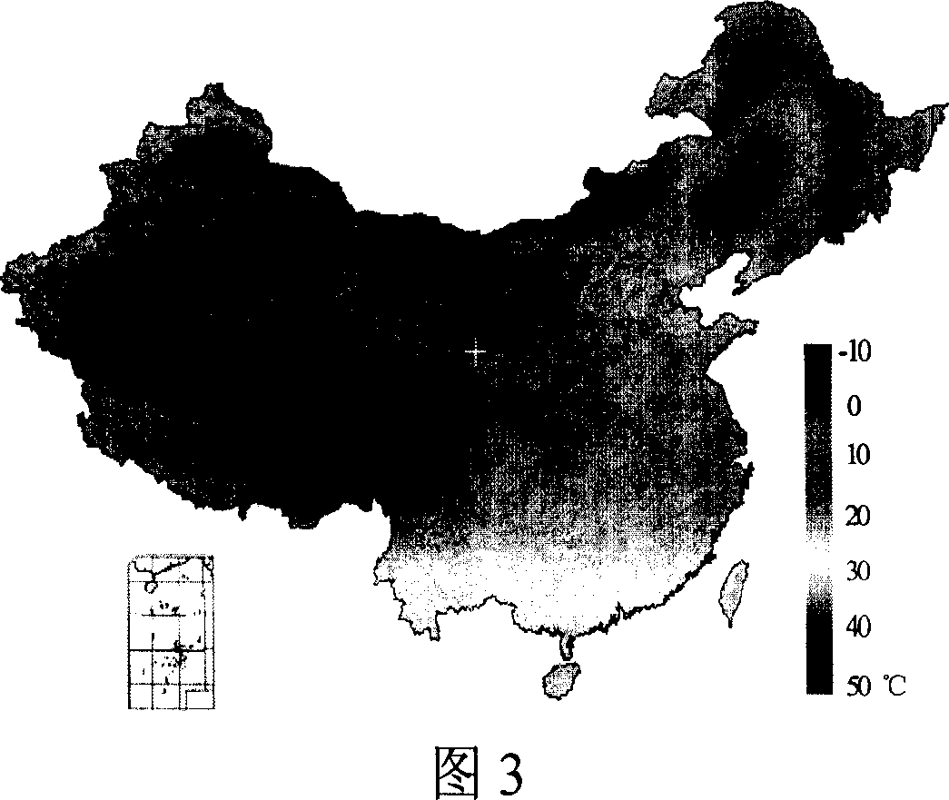
[0023] Since land degradation basically occurs in arid, semi-arid and sub-humid dry areas, these areas are large in size, with harsh natural conditions and inconvenient transportation. Therefore, remote sensing technology was used to carry out research work on land degradation in the world as early as the 1980s . However, since J.Tucker established the NOAA AVHRR Vegetation Index (NDVI) to study desertification in Africa in the 1980s, international research on desertification using remote sensing technology has basically remained in the evalu...


PUM


Abstract

This invention discloses one earth degradation remote evaluation parameter feedback and monitor technique method, which comprises the following steps: selecting and evaluating the remote parameters for remote data earth degradation and establishing earth degradation monitor evaluation index system; rehearsing national degradation remote parameters; degradation formula evaluation and realization; using plant starting affair analysis plant and non-plant change; using NDVI various to analyze dynamic situations.

Description

technical field [0001] The invention relates to the application technology in the field of information, in particular to the application technology for providing decision-making information for land degradation (desertification) evaluation and monitoring and resource and environment sustainable development planning by using the information obtained by remote sensing technology. Background technique [0002] In the study of land degradation, it is necessary to obtain a variety of parameters of surface natural conditions, including: land cover, surface temperature, soil moisture and vegetation parameters. These parameters can be obtained from conventional meteorological, hydrological and farmland observation stations and field surveys. However, what is obtained through actual observation is only point data. Although some aggregation methods can be used to extend the observation results of points to areas, the accuracy cannot be guaranteed, and it cannot represent the spatial d...

Claims


Application Information

Patent Timeline
IPC IPC(8): G01S17/89G01S7/48
Inventor 王长耀刘爱霞占玉林
Owner 王长耀
Why Eureka
Try Eureka