
Method for automated text placement for contour maps and chart

a technology of contour labels and text placement, applied in traffic control systems, navigation instruments, instruments, etc., can solve the problem that contour labels are not presented in a coherent way to portray terrain features

Inactive Publication Date: 2005-12-29
MAPTEXT
View PDF9 Cites 5 Cited by
  • Summary
  • Abstract
  • Description
  • Claims
  • Application Information

AI Technical Summary

Problems solved by technology

Because of this, contour labels were not presented in a coherent way to portray terrain features.
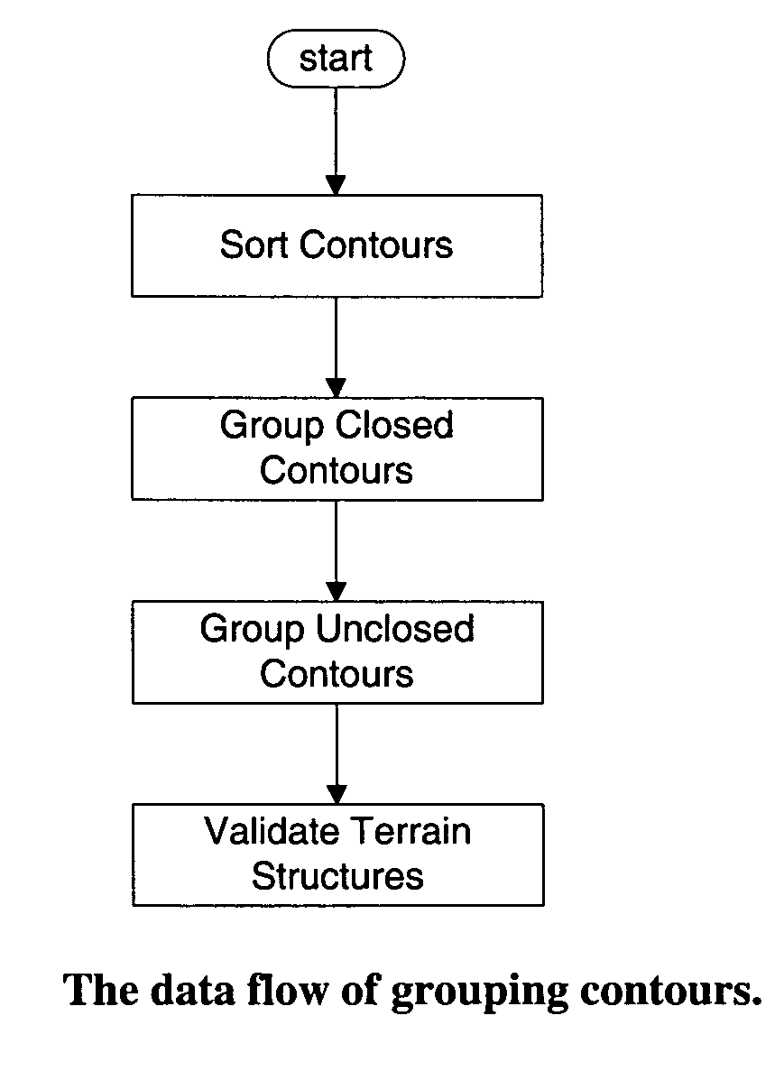
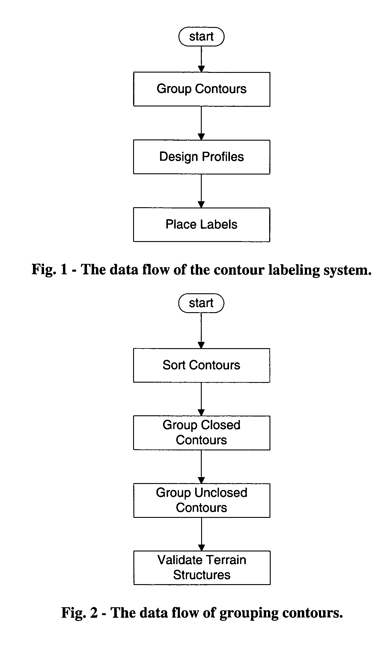
Since GIS systems do not preserve spatial structures that are described by elevation / depth contours, one important challenge facing automated contour line labeling is to identify the groups of contours that together describe a distinct terrain feature.

Method used


Image

  • Method for automated text placement for contour maps and chart
  • Method for automated text placement for contour maps and chart
  • Method for automated text placement for contour maps and chart

Examples


Embodiment Construction

[0035] The present invention will now be described in connection with its presently preferred embodiment as illustrated in the appended drawings. Those of ordinary skill in the art will understand that the scope of the present invention is not limited by the description herein.

[0036] Contour lines are a special kind of cartographic feature and their labeling requires the understanding of their relational characteristics and other geomorphologic considerations.

[0037] 1 Overview

[0038] Contour lines on a map describe forms and structures of the corresponding terrain. Each contour represents all points of the same elevation / depth for a terrain feature. A group of similar contours collectively illustrates the change of elevation and hence the form of a mountain or a basin. The larger the elevation, the shorter the contour line for a mountain, and vice versa for a basin. At the summit of a mountain or at the bottom of a basin, the contours degenerate into peaks which are often represen...


PUM


Abstract

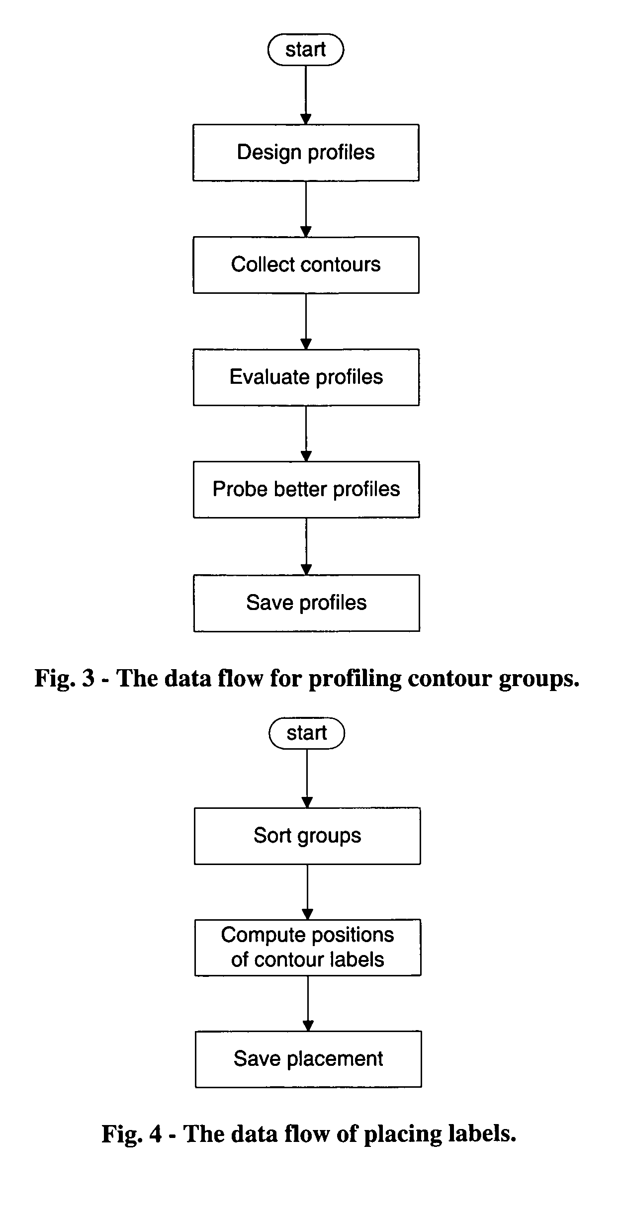
A method for automatically placing textual information (labels) on contour maps according to modern cartographic conventions is described. A three-step process is used: in the first step contours are organized into a contour tree (a special data structure) comprised of contour groups. Each group serves as a node in the tree and corresponds to a terrain structure. The second step devises profiles emitted from the peak of a group in a discrete number of directions. Only contours intersected by a profile, and the intersections presenting a monotone curve on the surface of a single terrain structure, are associated with the profile. A processed profile serves as the basis for an array of contour labels which are aligned along the profile. The cartographic merit of every profile is evaluated during this step. The final step renders the positions of contour labels along a profile which is taken by its merit value. Constraints such as the distance between multiple labels of a contour, the reversing of reading directions of a label allowed on a non-standard profile, and the criterion for conflict-free placement play critical roles in the selection of a label.

Description

FIELD OF THE INVENTION [0001] This invention relates to the computation and cartographically informative placement of contour labels (elevation information) on a cartographic map or chart. In particular, the invention provides an automated method of calculating the location of contour labels in a way that the layout of the labels conveys important terrain information that is easy to interpret and provides the highest aesthetic and cartographic quality possible. The automated methods based on this invention may be used in Geographic Information Systems (GIS). BACKGROUND OF THE INVENTION [0002] Contours are a special kind of 2-dimensional isolines which are widely used for portraying relief of the terrain by associating elevation with every contour. In digital mapping, the elevation is stored as an attribute of the contour. It is desirable for the users of a contour map to label the elevation against contour lines to aid the comprehension of the terrain structures and to facilitate th...

Claims


Application Information

Patent Timeline
Patent Type & Authority Applications(United States)
IPC IPC(8): G01C21/30G01C21/32G01S19/25G06F17/00
CPCG01C21/32G01C21/3826
Inventor YANG, WEIPING
Owner MAPTEXT
Learn More