Systems and methods for analyzing remote sensing imagery

a remote sensing and imagery technology, applied in the field of remote sensing, deep learning, object detection, can solve the problems of manual checking and surveying labor intensive and costly, and traditional methods suffer from a number of drawbacks and deficiencies, and can be difficult to achieve the effect of achieving the effect of reducing the number of errors, reducing and improving the accuracy of the results

Active Publication Date: 2017-03-16
CAPE ANALYTICS INC
View PDF7 Cites 219 Cited by
  • Summary
  • Abstract
  • Description
  • Claims
  • Application Information

AI Technical Summary

Benefits of technology

[0038]According to some embodiments, one or more of the N first type of image sets can include a plurality of co-registered first type of images.
[0039]According to some embodiments, the transform parameters and the target transform parameter can be for at least one of translation, similarity, perspective, thin-plate-splines, piece-wise affine, B-spline, or high-order bivariate polynomials.
[0040]A method of aligning images according to one embodiment of the present disclosure can include receiving, at an aligning device, N first type of image sets, wherein N>1, wherein each of the N first type of image sets includes one or more first type of images; receiving, at the aligning device, N second type of image sets, wherein each of the N second type of image sets includes different one or more second type of images, wherein each of the N second type of image sets is aligned with a different one of the N first type of image sets; creating, at the aligning device, a regressor configured to identify a second type of image set given a first type of image set, wherein the regressor is created based on the N first type of image sets and the N second type of image sets; receiving, at the aligning device, a target first type of image set and a plurality of first key points of the target first type of image set; receiving, at the aligning device, a target second type of image set; dividing, at the aligning device, the target first type of image set into a first plurality of divisions, wherein each of the first plurality of divisions is centered around a different one of the plurality of first key points; generating, at the aligning device using the regressor, a second plurality of divisions of the target second type of image set based on the first plurality of division of the target first type of image set; identifying, at the aligning device, a plurality of second key points, wherein each second key point is from a different division of the second plurality of division; identifying, at the aligning device, transform parameters that maps the plurality of second key points to the plurality of the first key points; and generating, at the aligning device, a transformed target second type of image set by transforming the target second type of image set using the transform parameters so that the transformed target second type of image set is aligned with the target first type of image set.

Problems solved by technology

These traditional methods suffer from a number of drawbacks and deficiencies.
First, the records can be out of date, missing, or destroyed.
Second, the manual checking and surveying are labor intensive and costly.
Third, surveying area such as the roof of a building or the crown of a tree can be dangerous.

Method used


Image

  • Systems and methods for analyzing remote sensing imagery
  • Systems and methods for analyzing remote sensing imagery
  • Systems and methods for analyzing remote sensing imagery

Examples


Embodiment Construction

[0092]In the following description, numerous specific details are set forth regarding the systems and methods of the disclosed subject matter and the environment in which such systems and methods may operate, etc., in order to provide a thorough understanding of the disclosed subject matter. It will be apparent to one skilled in the art, however, that the disclosed subject matter may be practiced without such specific details, and that certain features, which are well known in the art, are not described in detail in order to avoid complication of the disclosed subject matter. In addition, it will be understood that the examples provided below are exemplary, and that it is contemplated that there are other systems and methods that are within the scope of the disclosed subject matter.

[0093]Disclosed systems and methods relate to the field of remote sensing, deep learning, and object detection.

Remote Sensing

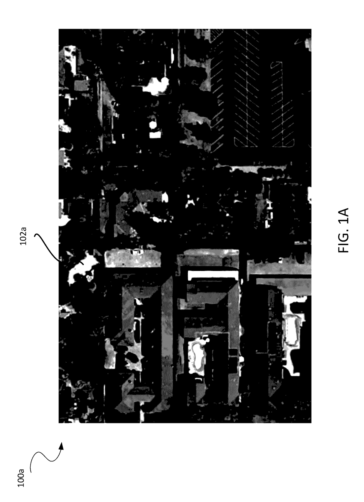
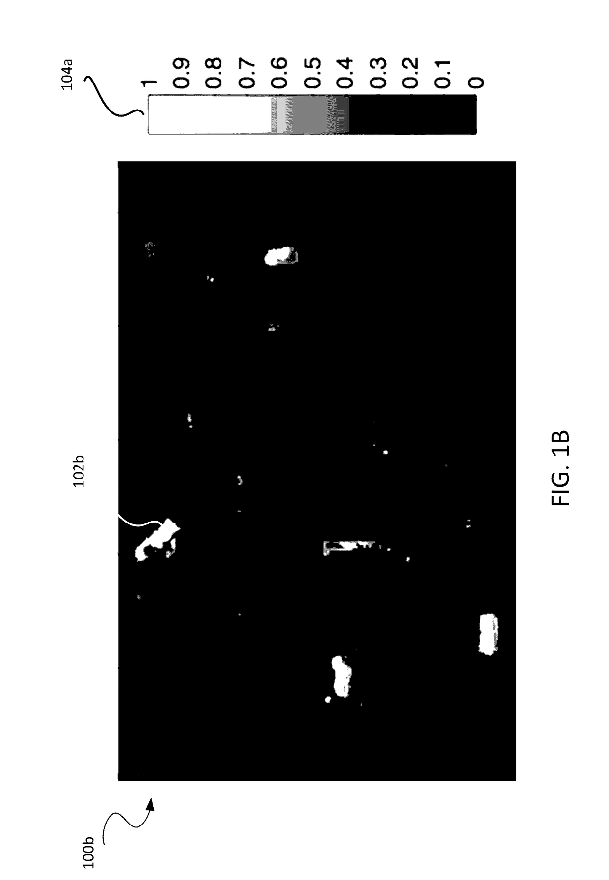
[0094]Remote sensing is a technology field that includes the remote acquisition...


PUM


Abstract

Disclosed systems and methods relate to remote sensing, deep learning, and object detection. Some embodiments relate to machine learning for object detection, which includes, for example, identifying a class of pixel in a target image and generating a label image based on a parameter set. Other embodiments relate to machine learning for geometry extraction, which includes, for example, determining heights of one or more regions in a target image and determining a geometric object property in a target image. Yet other embodiments relate to machine learning for alignment, which includes, for example, aligning images via direct or indirect estimation of transformation parameters.

Description

RELATED APPLICATION[0001]This application claims priority to the following applications, the entire contents of which are incorporated herein by reference: U.S. Provisional Patent Application No. 62 / 212,424, titled “Systems And Methods For Analyzing Remote Sensing Imagery,” which was filed on Aug. 31, 2015; and U.S. Provisional Patent Application No. 62 / 315,180, titled “Systems And Methods For Analyzing Remote Sensing Imagery,” which was filed on Mar. 30, 2016.BACKGROUND OF THE INVENTION[0002]Technical Field[0003]Embodiments of the present disclosure relate to the field of remote sensing, deep learning, and object detection.[0004]Description of the Related Art[0005]Structural and geospatial data are valuable in areas such as, for example, real estate transaction, planning, and / or insurance. Non-limiting examples of the structural and geospatial data include the following: the area of real property including land and / or buildings; the square footage of a building; the roof size and / o...

Claims


Application Information

Patent Timeline
Patent Type & Authority Applications(United States)
IPC IPC(8): G06T7/00H04N5/33G06K9/46G06K9/62G06V10/764
CPCG06T7/004G06T7/0081G06K9/6269G06T2207/20048G06K9/4604G06T2207/10024H04N5/332G06V20/176G06V10/451G06V10/82G06V10/764H04N23/11G06F18/2413
Inventor KOTTENSTETTE, RYANLORENZEN, PETERGEDIKLI, SUAT
Owner CAPE ANALYTICS INC
Why Eureka
Try Eureka