
Ocr-based system and method for recognizing map image, recording medium and file distribution system

Active Publication Date: 2017-04-20
NAVER CORP
View PDF5 Cites 47 Cited by
  • Summary
  • Abstract
  • Description
  • Claims
  • Application Information

AI Technical Summary

Benefits of technology

This patent describes a way to recognize a map image by using a database ofPOI information. This way allows for accurate retrieval of the map area corresponding to the image, instead of using a database that includes information about the entire map. The technical effect of this patent is increased efficiency and accuracy in identifying map images.

Problems solved by technology

However, the person needs to manually retrieve and recognize the area corresponding to the map image and thus, may experience some inconveniences.
However, the existing map recognition method may not readily construct a database about a map image, and may not recognize a map in response to an input of another map image aside from the constructed map image.

Method used


Image

  • Ocr-based system and method for recognizing map image, recording medium and file distribution system
  • Ocr-based system and method for recognizing map image, recording medium and file distribution system
  • Ocr-based system and method for recognizing map image, recording medium and file distribution system

Examples


Embodiment Construction

[0020]Hereinafter, example embodiments will be described with reference to the accompanying drawings.

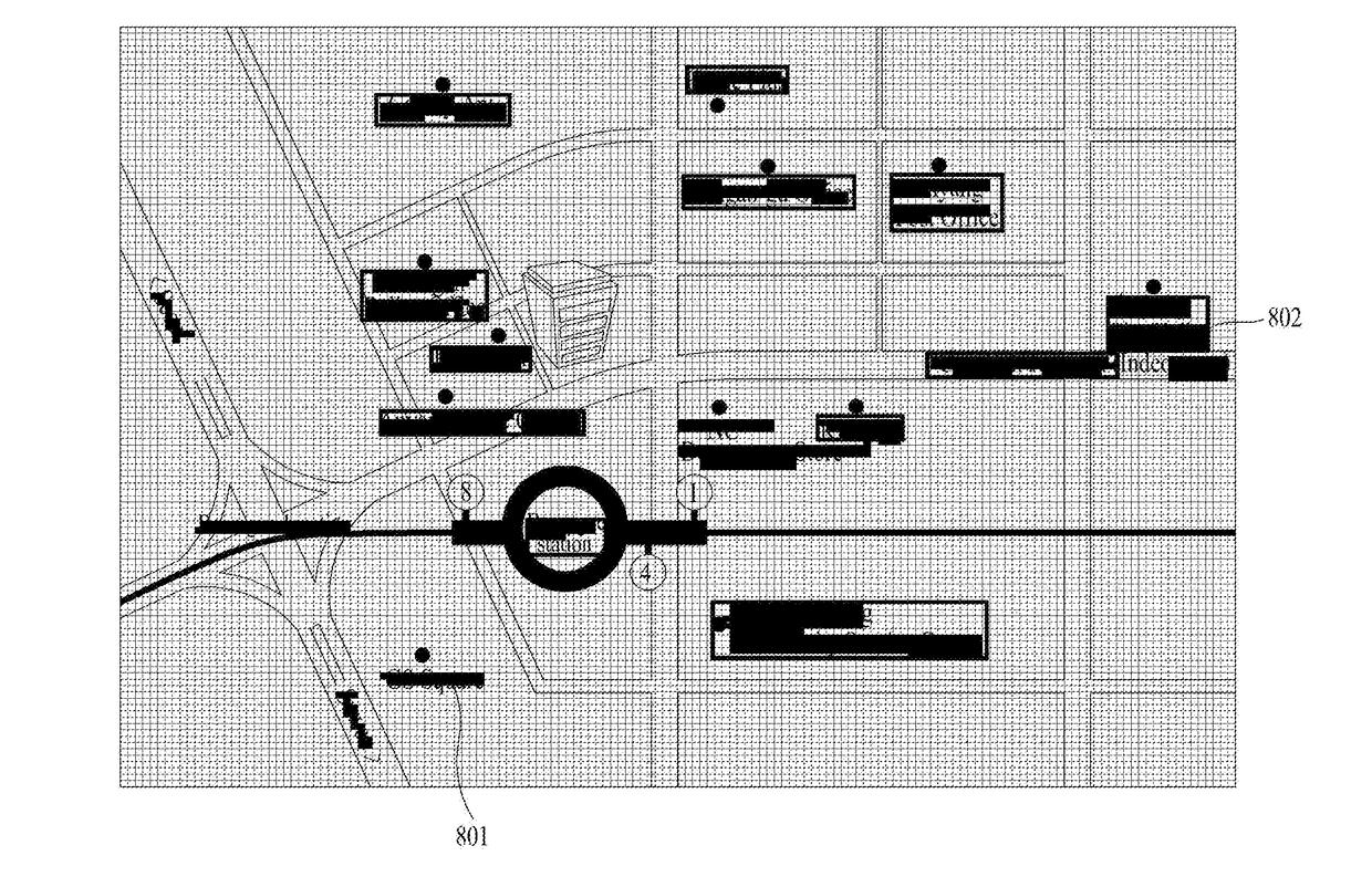
[0021]The example embodiments relate to technology for receiving a map image and retrieving an actual map area corresponding to the received image, and may be applicable to various map service fields, such as a map search service, a location verification service, a find-a-way / road guide service, etc.

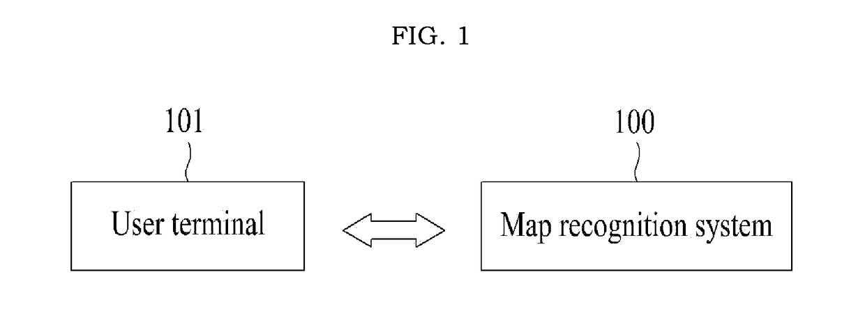
[0022]FIG. 1 illustrates a relationship between a user terminal 100 and a map recognition system 101 according to an example embodiment. In FIG. 1, an indicator with arrowheads may indicate that data may be transmitted and received between the map recognition system 100 and the user terminal 101 over a wired / wireless network.

[0023]The user terminal 101 may refer to a personal computer (PC), a smartphone, a tablet, a wearable computer, and the like, and may refer to any type of terminal devices capable of connecting to a website / mobile site associated with the map recognition system 100, o...


PUM


Abstract

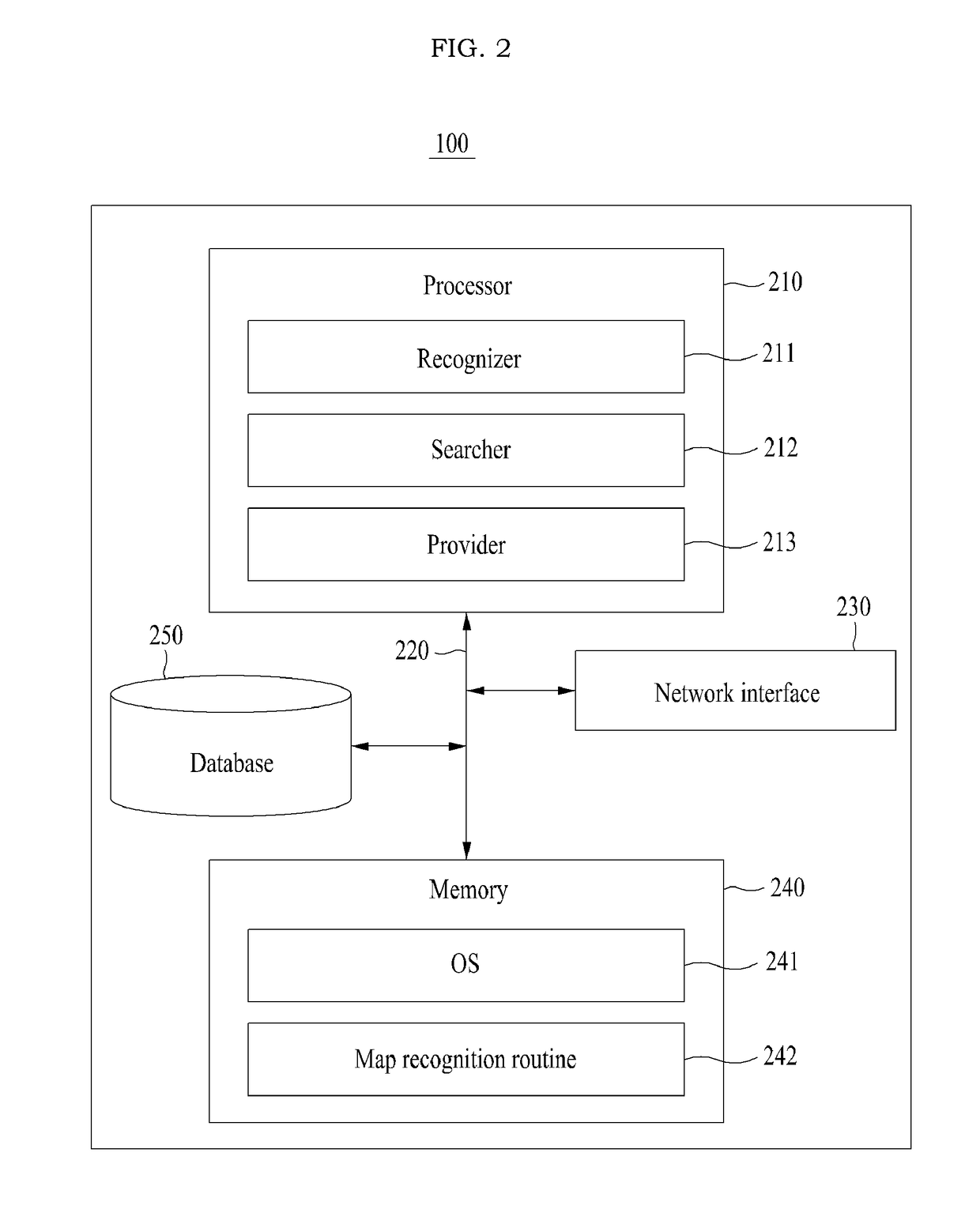
Disclosed are OCR-based system and method for recognizing a map image. The system for map recognition comprise a recognition unit for recognizing text on an inputted image by means of a text recognition technology; a search unit for searching, in a database comprising toponym data, for a toponym corresponding to the text; and a provision unit for providing map information comprising the toponym as a result of the recognition of the inputted image.

Description

CROSS-REFERENCE TO RELATED APPLICATION[0001]This application is a continuation of International Patent Application No. PCT / KR2015 / 006761 filed on Jul. 1, 2015, claiming priority based on Korean Patent Applications No. 10-2014-0081619 filed on Jul. 1, 2014, the contents of all of which are incorporated herein by reference in their entirety.BACKGROUND OF THE INVENTION[0002]One or more example embodiments of the present invention relate to technology for recognizing a map image and searching for a map area corresponding to the recognized image.[0003]A map recognition method enables a person to directly view a map image and recognize an area corresponding to the map image. However, the person needs to manually retrieve and recognize the area corresponding to the map image and thus, may experience some inconveniences.[0004]Also, a map recognition method based on a map topology may extract topographical information from an input map image in a state in which a database about topographical...

Claims


Application Information

Patent Timeline
IPC IPC(8): G06K9/46G06V20/62G06V10/44G06V30/10G06V30/422
CPCG06K2209/01G06K9/4671G06V30/422G06V20/62G06V10/44G06V2201/02G06V30/10G06F18/00
Inventor KIM, SANG KYONG
Owner NAVER CORP
Learn More