Lowstand erosional seismic stratigraphy

a seismic stratigraphy and low-stand technology, applied in seismic signal processing, measurement devices, scientific instruments, etc., can solve problems such as limited reservoir potential, and achieve the effect of improving interpreter's ability to pick key boundaries

Inactive Publication Date: 2020-12-17
BABCOCK JOHN A
View PDF0 Cites 4 Cited by
  • Summary
  • Abstract
  • Description
  • Claims
  • Application Information

AI Technical Summary

Benefits of technology

[0023]One embodiment of this disclosure comprises optimizing the color bar to enhance interpreter's ability to pick key boundaries.

Problems solved by technology

These valley-fill sequences consist dominantly of mudstones with minor sandstones, providing limited reservoir potential.

Method used


Image

  • Lowstand erosional seismic stratigraphy
  • Lowstand erosional seismic stratigraphy
  • Lowstand erosional seismic stratigraphy

Examples


Embodiment Construction

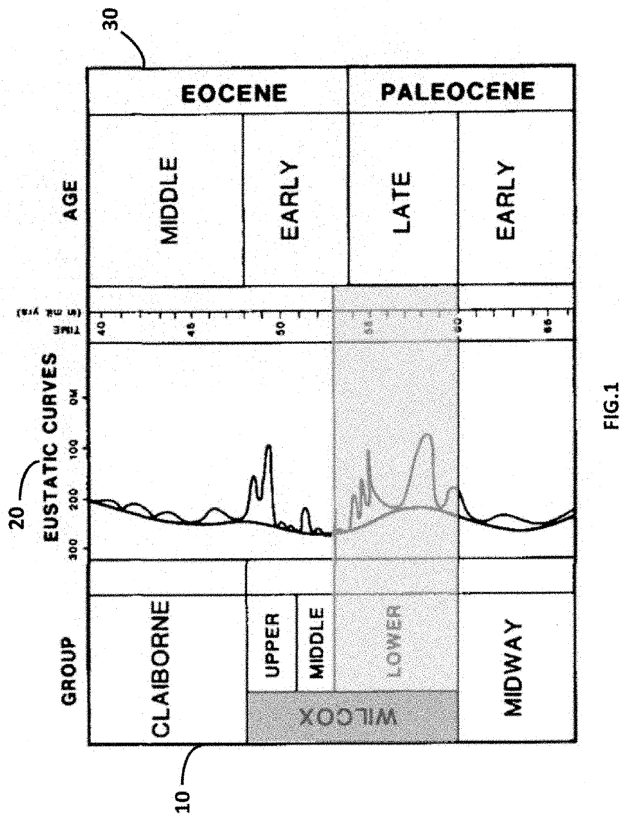
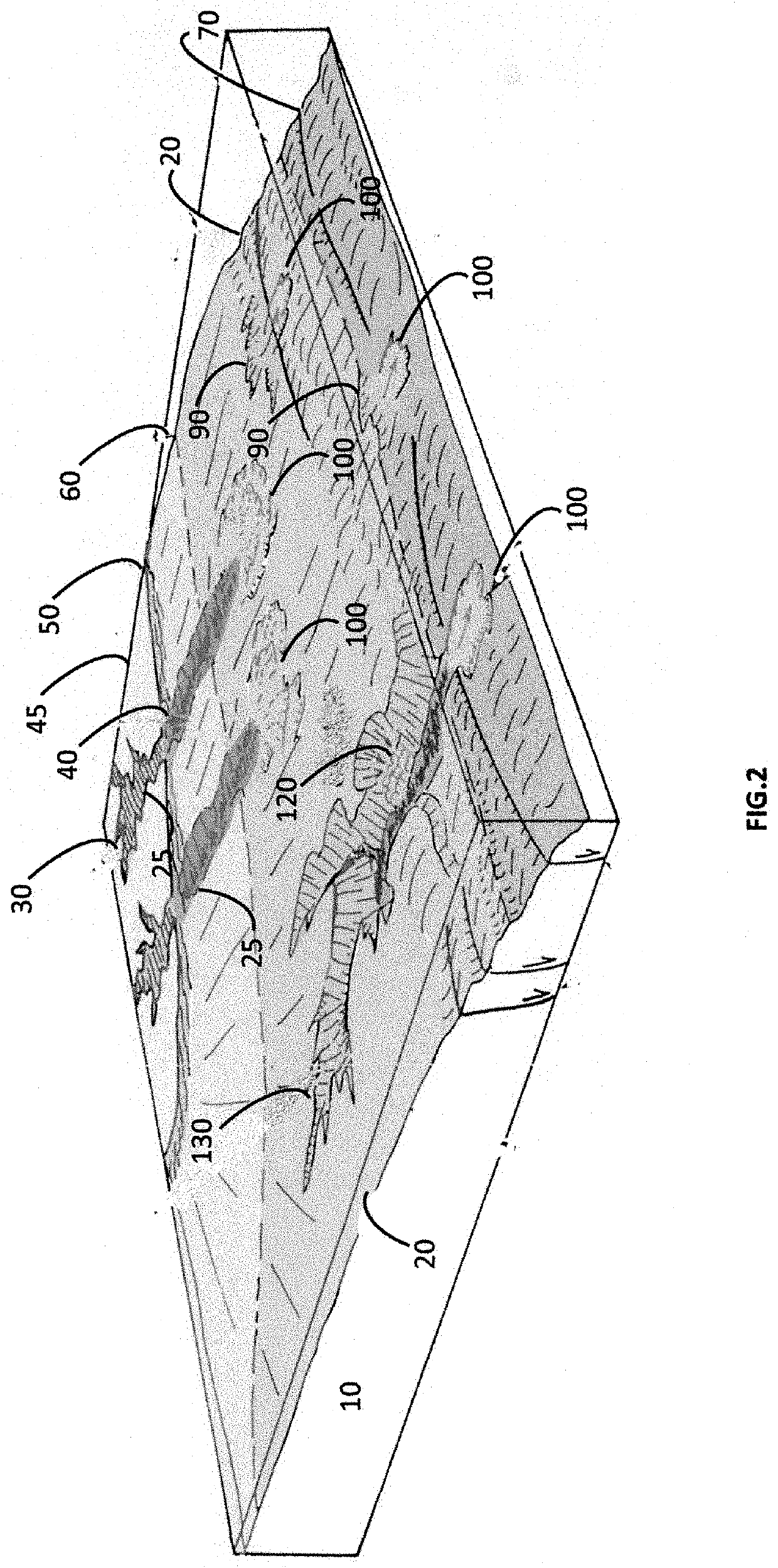
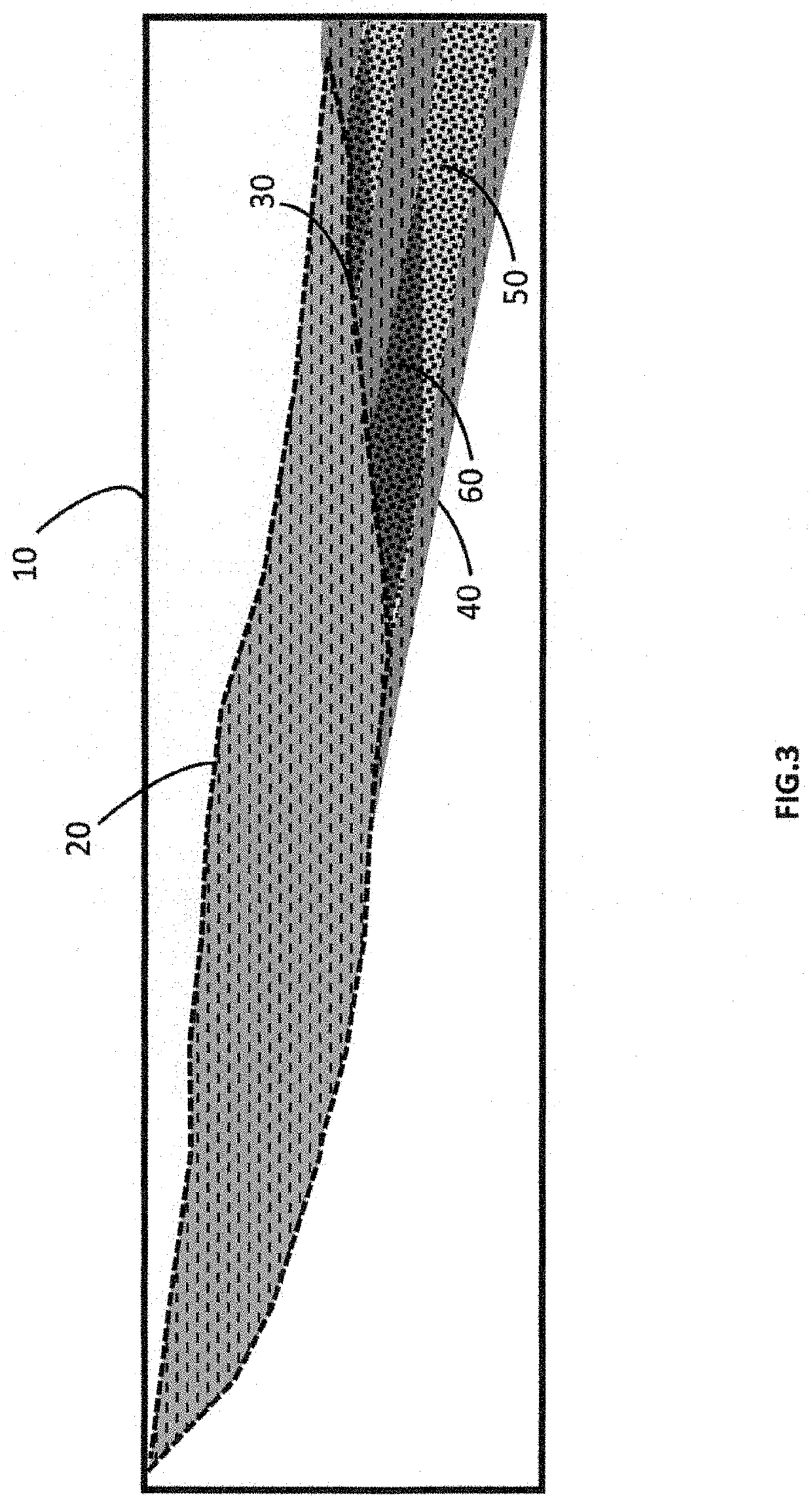
[0037]Lowstand Erosional Seismic Stratigraphy (LESS) interpretation method is used to identify hydrocarbon bearing traps within incised valley systems specifically in the late Paleocene Era. The incised valleys form because the transport capacity of a river exceeds its sediment supply. An incised-valley system is defined as a fluvially eroded, elongate topographic low that is characteristically larger than a single channel and is marked by an abrupt seaward shift of depositional facies across a regionally mappable sequence boundary at its base.

[0038]With sea level rise due to global warming, rivers erode the land mass and deposit fluvial / deltaic sands in shallow water.

[0039]With a decline in sea level, the rivers make their way towards the new shoreline. The previously deposited fluvial / deltaic sands are now exposed and subject to erosion. These sands are transported and deposited as lowstand deposits along the newly established shoreline.

[0040]With another rise of sea level. The se...


PUM


Abstract

A seismic interpretation method for identifying subsurface hydrocarbon bearing traps of Eocene/Paleocene age in valley fill depositional systems comprising as computer implemented modeling software and processed seismic data. The valley dispositional system is further defined by identifying field stratigraphy and erosional trapping mechanisms and confirming structural closure. The method further includes identifying structural aspects caused by sagging, rollover, and determining the presence of high amplitude events in the erosional trap.

Description

CROSS REFERENCE TO RELATED APPLICATIONS[0001]This application claims benefit of U.S. Provisional Patent Application No. 62 / 680,298 filed Jun. 4, 2018, the contents of which herein incorporated by reference in their entirety.BACKGROUNDField[0002]Embodiments of This disclosure relates to techniques for the exploration of oil and gas. More specifically, it relates to lowstand erosional seismic stratigraphy.DESCRIPTION OF THE RELATED ART[0003]The lowering of sea level is the primary mechanism associated with the development of incised valleys. In turn, incised valleys are the evidence for the existence of lowstand and transgressive deposition.[0004]The erosion that creates many incised valleys is thought to be linked to relative sea-level fall, although climatically produced changes in discharge and / or sediment supply may independently cause incision, even in areas far removed from the coast. In the case of valleys in coastal areas, fluvial deposition typically begins at the mouth of th...

Claims


Application Information

Patent Timeline
Patent Type & Authority Applications(United States)
IPC IPC(8): G01V1/30
CPCG01V1/30G01V99/005
Inventor BABCOCK, JOHN A.
Owner BABCOCK JOHN A
Why Eureka
Try Eureka