Methods and systems for locating visible differences on an object

a technology of visible differences and methods, applied in the field of methods and systems for locating visible differences on objects, can solve the problems of difficult to measure the precise location in the desired coordinate system, difficult to get accurate measurements of aircraft locations defined in aircraft coordinates, and laborious tasks

Active Publication Date: 2014-06-03
THE BOEING CO
View PDF10 Cites 40 Cited by
  • Summary
  • Abstract
  • Description
  • Claims
  • Application Information

AI Technical Summary

Problems solved by technology

Finding and accurately measuring the locations of potential damage on an object, like a large commercial airplane, can be a laborious task.
From two dimensional images alone it is difficult to get accurate measurements of aircraft locations defined in aircraft coordinates.
But even with a reference scale, it can be difficult to measure a precise location in the desired coordinate system.
Determining the correct location is especially difficult in areas where few uniquely identifiable landmark features exist.
In addition, human analysis of a large number of potential damage areas would likely be error prone.
Using a tape measure can be inaccurate, difficult and somewhat dangerous on an object as large as a commercial airplane, which can involve use of ladders, ropes, scissor or snorkel lifts to reach the damage areas.
The disadvantages of using a tape measure (and similar type of methods) are that the process can be inaccurate, time consuming and includes the possibility of human error.
In some situations safety is also a concern, and for measurement of certain objects, contact with measurement tools is undesirable.
However, except for the embodiments described herein, the LPS is a manually controlled instrument, which makes the task of finding and measuring a large number of potentially damaged areas very time consuming.

Method used


Image

  • Methods and systems for locating visible differences on an object
  • Methods and systems for locating visible differences on an object
  • Methods and systems for locating visible differences on an object

Examples


Embodiment Construction

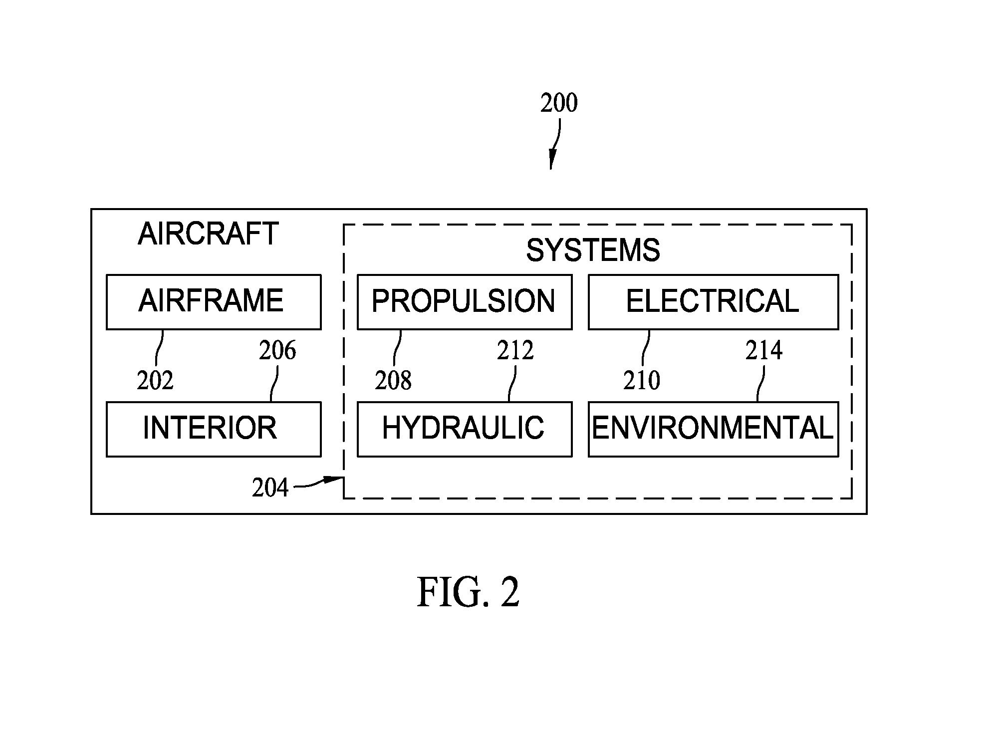
[0017]The described embodiments are related to methods and systems for automatically detecting visible areas of change (such as damage) on the surface of a target object (such as an aircraft), and then automatically measuring the locations of these areas in the local coordinate system of the target object.

[0018]As further described herein, the system uses a sequence of image pairs collected by a digital camera associated with a local positioning system (LPS), along with image change detection software, to determine the two dimensional pixel locations in the image of areas of interest. The two dimensional data is then utilized to direct the LPS unit to take measurements and compute the three dimensional positions of those areas of interest expressed in the coordinate system of the target object. To accomplish the above, the LPS is modified to automate the image collection, analysis, and conversion into three dimensional target coordinates. Such processes are described herein where, w...


PUM


Abstract

A method for detecting and determining a location of visible areas of change on a target object is described. The method includes locating, in position and orientation, a local positioning system with respect to the target object, determining an offset between the position and orientation of the local positioning system and a prior position and orientation of a local positioning system previously utilized to collect a set of reference images of the target object, the prior position and orientation in the coordinate system of the target object, repositioning, in position and orientation, the local positioning system with respect to the target object by the determined offset, acquiring a set of images of the target object from the position and orientation of the repositioned local positioning system, comparing the set of images to corresponding images within the set of reference images to detect a difference between the acquired images and the corresponding reference images, and determining a location of the detected difference in the coordinate system of the target object.

Description

BACKGROUND[0001]The field of the disclosure relates to methods and systems for locating visible differences on an object and accurately measuring the locations of potential damage on the object, for example, a large commercial airplane.[0002]Finding and accurately measuring the locations of potential damage on an object, like a large commercial airplane, can be a laborious task. An efficient and automated process for addressing this problem would be valuable to many organizations involved in building and maintaining large vehicles and structures.[0003]From two dimensional images alone it is difficult to get accurate measurements of aircraft locations defined in aircraft coordinates. Often, an item of known dimensions (like a tape measure) is inserted in the picture to give the analyst a size reference. But even with a reference scale, it can be difficult to measure a precise location in the desired coordinate system. Determining the correct location is especially difficult in areas ...

Claims


Application Information

Patent Timeline
Patent Type & Authority Patents(United States)
IPC IPC(8): G06K9/00
CPCG06K9/00G06T7/001G06T2207/30156
Inventor TROY, JAMES J.LEA, SCOTT W.
Owner THE BOEING CO
Why Eureka
Try Eureka