Single satellite geolocation systems and methods
a geolocation system and satellite technology, applied in direction finders, instruments, measurement devices, etc., can solve the problems of inability to work, complex processing techniques, and inability to achieve the effect of a single satellite,
- Summary
- Abstract
- Description
- Claims
- Application Information
AI Technical Summary
Benefits of technology
Problems solved by technology
Method used
Image
Examples
Embodiment Construction
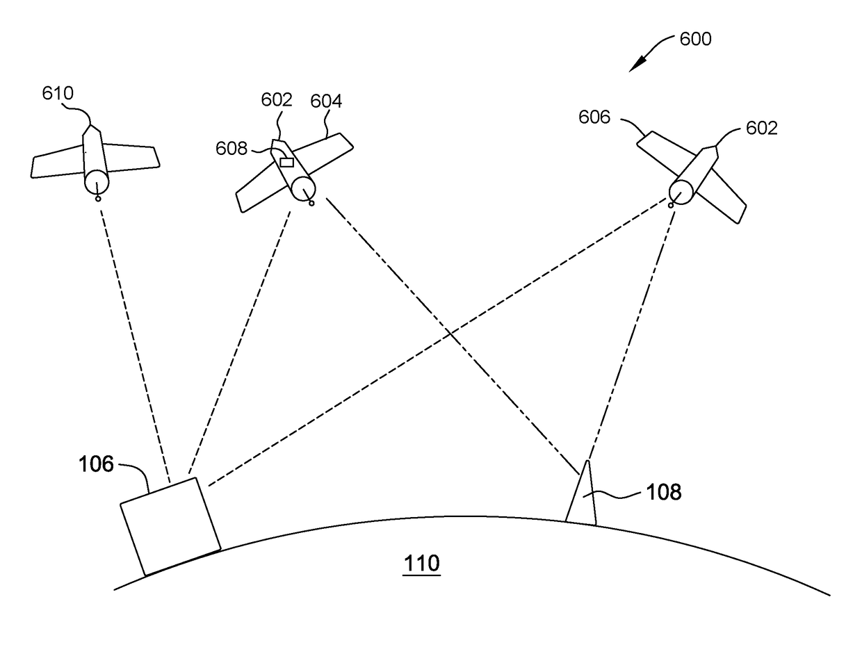
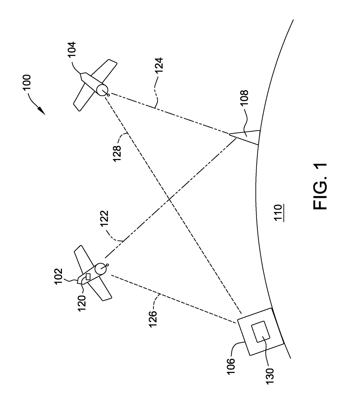
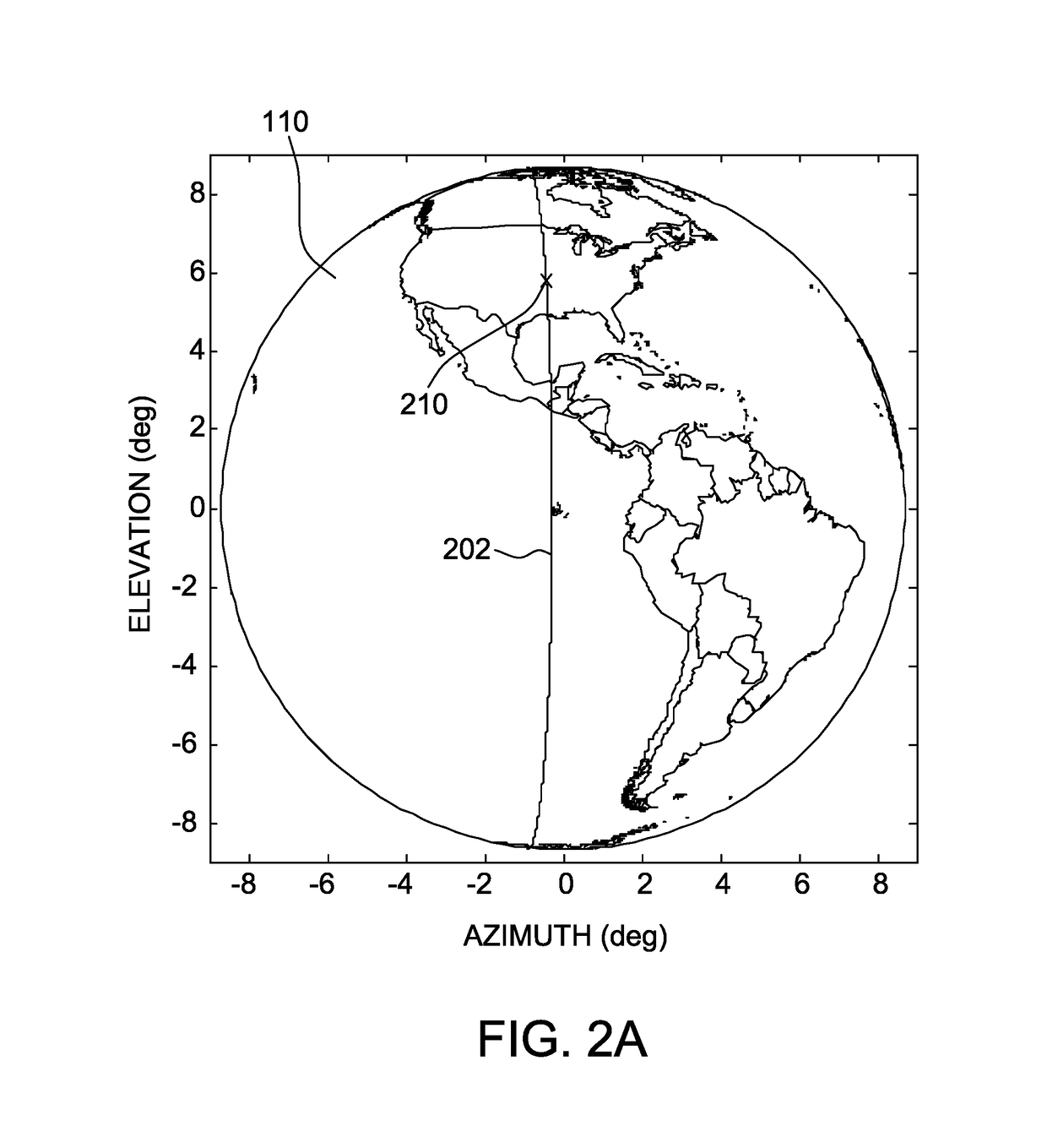
[0015]The systems and methods described herein enable an interferer to be located. A first curve is generated using one of a time difference of arrival signature and a frequency difference of arrival signature between two signals received by the same satellite. A second curve is generated using direction of arrival information generated from a linear array on the satellite. The location of the interferer is determined to be the intersection between the first and second curves.
[0016]Exemplary technical effects of the methods and systems described herein include at least one of (a) determining, from one of a time difference of arrival (TDOA) signature and a frequency difference of arrival (FDOA) signature between a first signal received at a satellite at a first location and a second signal received at the same satellite at a second location, a first curve on which the interferer lies; (b) determining, from direction of arrival information generated using signals received from the int...
PUM
 Abstract
Description
Claims
Application Information
 - R&D
- Intellectual Property
- Life Sciences
- Materials
- Tech Scout
- Unparalleled Data Quality
- Higher Quality Content
- 60% Fewer Hallucinations
Browse by: Latest US Patents, China's latest patents, Technical Efficacy Thesaurus, Application Domain, Technology Topic, Popular Technical Reports.
© 2025 PatSnap. All rights reserved.Legal|Privacy policy|Modern Slavery Act Transparency Statement|Sitemap|About US| Contact US: help@patsnap.com


