
Road name display method, and apparatus, server and system thereof

A road name and server technology, which is applied to devices, servers and systems, and a method for displaying road names, can solve the problems of complex calculation, affect the efficiency of display, and large amount of calculation, and achieve the effect of simple calculation.

Active Publication Date: 2013-07-10
NAVINFO
View PDF6 Cites 2 Cited by
  • Summary
  • Abstract
  • Description
  • Claims
  • Application Information

AI Technical Summary

Problems solved by technology

Therefore, the amount of calculation for the navigation device to calculate the display method of the road name is very large, and the calculation is relatively complicated, which affects the efficiency of the display.

Method used


Image

  • Road name display method, and apparatus, server and system thereof
  • Road name display method, and apparatus, server and system thereof
  • Road name display method, and apparatus, server and system thereof

Examples


Embodiment Construction

[0070] In order to make the technical problems, technical solutions and advantages to be solved by the embodiments of the present invention clearer, the following will describe in detail with reference to the drawings and specific embodiments.

[0071] like Figure 4 As shown, the method for displaying road names according to the present invention includes:

[0072] Step 11, obtain the road to be displayed in the area to be displayed on the electronic map; for example, Figure 6 In , the road to be displayed is the road with ID number 11.

[0073] Step 12, searching for the road name corresponding to the road; this step is specifically: searching for the road name corresponding to the road according to the correspondence between the road ID and the road name stored locally in advance; The corresponding relationship between the road ID and the road name, and obtain the road name corresponding to the road from the server in real time. For example, Figure 6 In , the road nam...


PUM


Abstract

The invention discloses a road name display method, and an apparatus, a server and a system thereof, and relates to the electronic map field to solve a technical problem that the calculation quantity for displaying road names in the prior art is large. The method comprises the following steps: acquiring roads to be displayed in an area to be displayed of an electronic map; searching the road names corresponded by the roads; searching the display auxiliary lines corresponded by the roads, wherein the display auxiliary lines are lines generated through the smooth processing of loci of the roads in advance; and displaying the road names along the display auxiliary lines. The road name display speed is accelerated in the invention.

Description

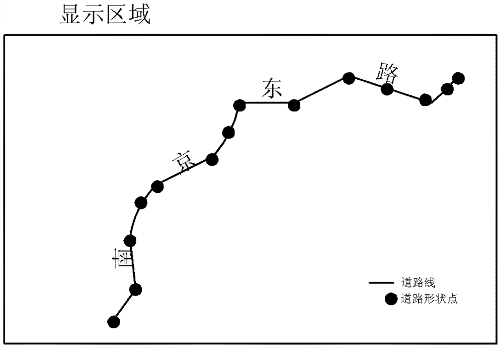
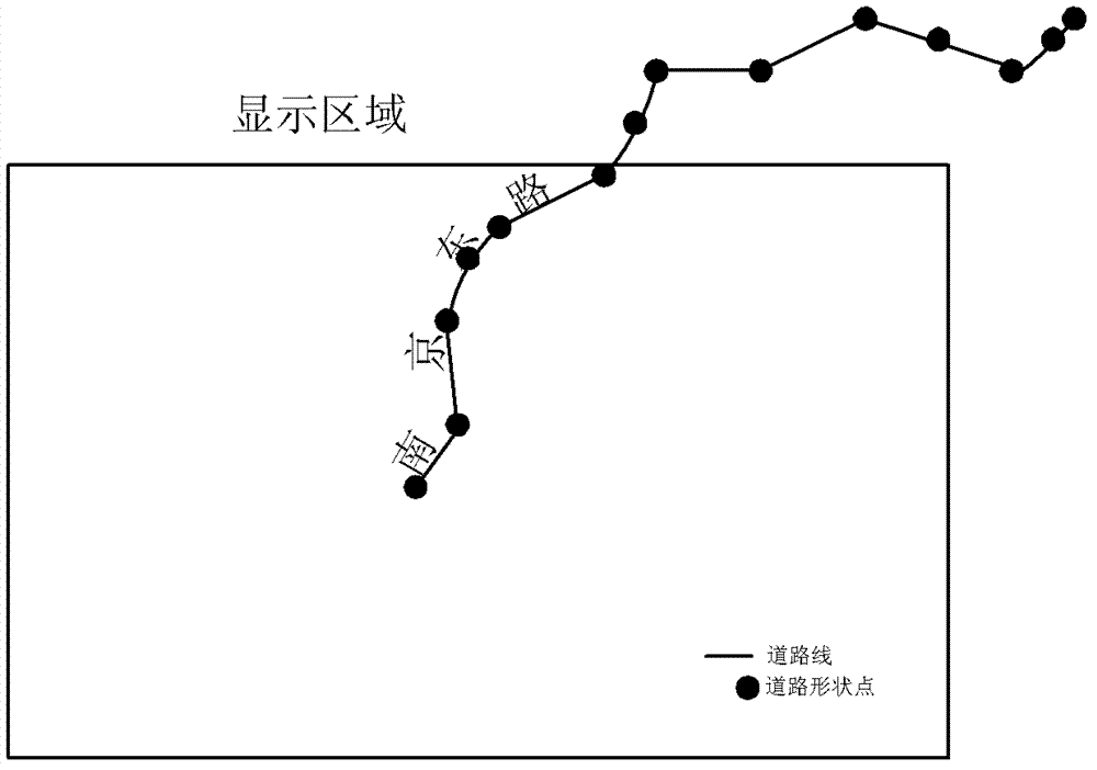
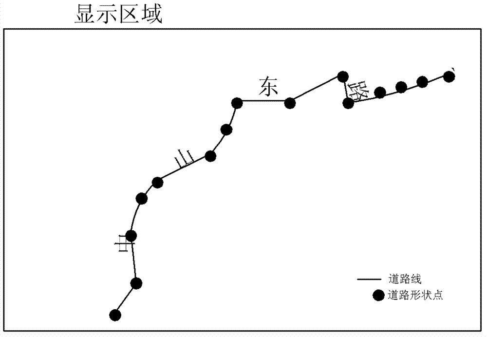
technical field [0001] The invention relates to the field of electronic maps, in particular to a method, device, server and system for displaying road names. Background technique [0002] During the drawing process of the navigation map, dynamically displaying road names along the road can greatly improve the aesthetics of the drawn map. In the prior art, the method of dynamically displaying road names along roads is: according to the shape of the road, calculate the display position and display angle of the road name, so as to draw. The navigation device calculates from the shape of the road to obtain the coordinates of the display position of the road name. like figure 1 In the road shape (such as figure 1 The lines in ) consist of a series of dot columns (such as figure 1 each point in ) composition. The position of the four characters of the road name "Nanjing East Road" is calculated based on the corresponding road shape. figure 1 It is a schematic diagram showing...

Claims


Application Information

Patent Timeline
IPC IPC(8): G01C21/34
Inventor 陈金星
Owner NAVINFO
Learn More