Eureka AIR delivers breakthrough ideas for toughest innovation challenges, trusted by R&D personnel around the world.

Multi-temporal remote sensing image change detection method based on fuzzy compatibility map

A remote sensing image and change detection technology, which is applied in the field of image processing, can solve the problems of low detection accuracy and high detection error rate, and achieve the effect of improving accuracy

Active Publication Date: 2017-04-26
KUNMING UNIV OF SCI & TECH
View PDF3 Cites 0 Cited by
  • Summary
  • Abstract
  • Description
  • Claims
  • Application Information

AI Technical Summary

Problems solved by technology

[0008] The purpose of the present invention is to solve the above-mentioned deficiencies in the existing multi-temporal remote sensing image change detection technology, and propose a multi-temporal remote sensing image change detection method based on fuzzy compatibility graphs to overcome the low detection accuracy and detection error rate of the existing methods high problem

Method used


Image

  • Multi-temporal remote sensing image change detection method based on fuzzy compatibility map
  • Multi-temporal remote sensing image change detection method based on fuzzy compatibility map
  • Multi-temporal remote sensing image change detection method based on fuzzy compatibility map

Examples


Embodiment Construction

[0028] The present invention will be described in detail below in conjunction with specific embodiments.

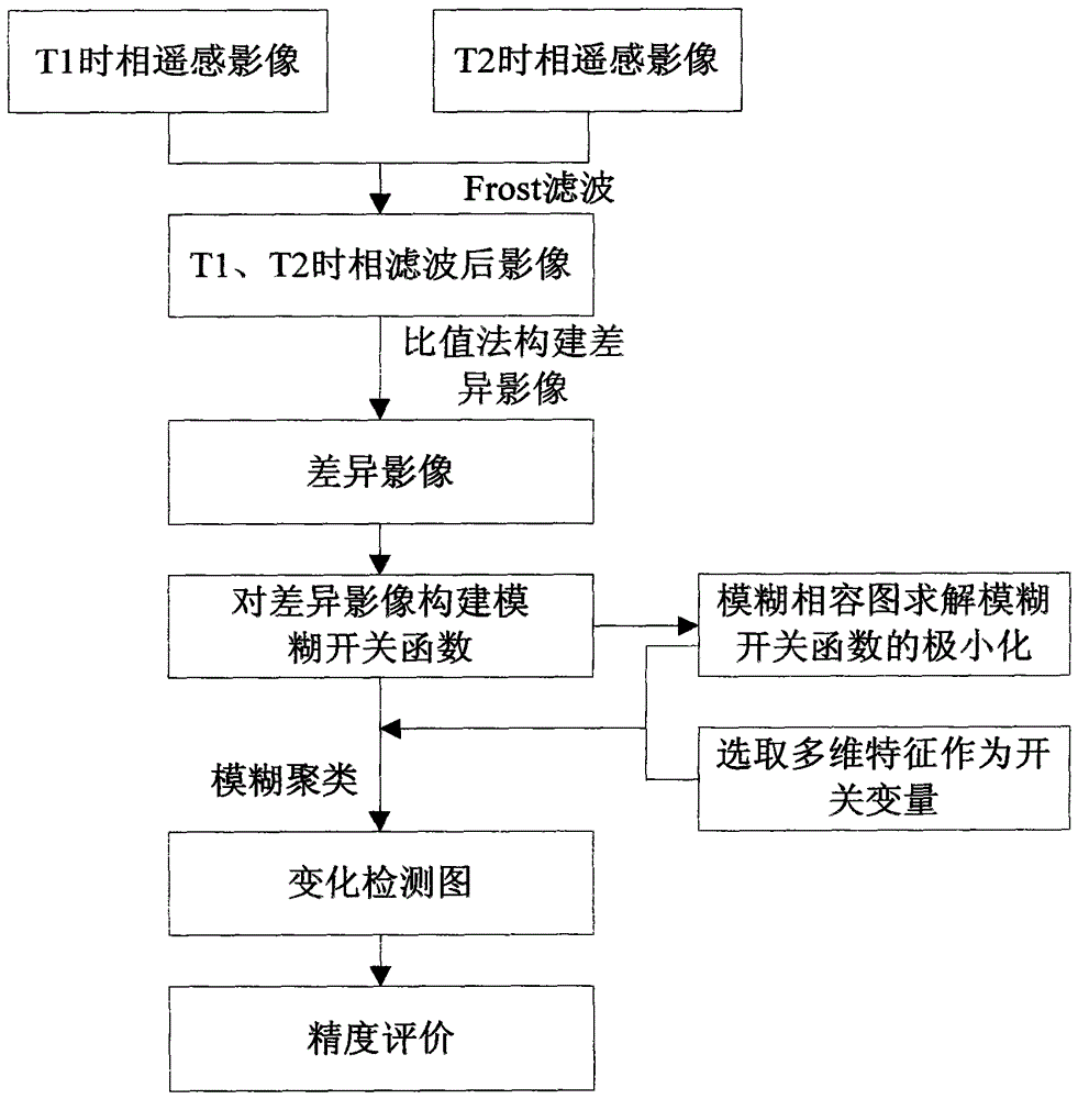
[0029] refer to figure 1 , the specific implementation of the present invention is as follows:

[0030] (1) Geometric correction and registration of two remote sensing images of the same area with different time phases. In practical applications, most remote sensing images have been geometrically corrected and registered, so the present invention only performs simulation experiments on remote sensing images after geometric correction and registration;

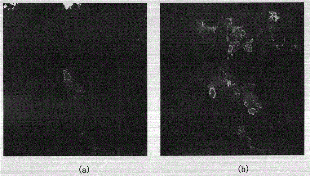
[0031] (2) Input two remote sensing images of the same area with different phases: X 1 ={x 1 (i,j)|1≤i≤M, 1≤j≤N|} and X 2 ={x 2 (i, j)|1≤i≤M, 1≤j≤N|}, where M and N represent the size of the image, such as figure 2 As shown in (a) and 2(b), first for X 1 and x 2 Grayscale conversion is carried out separately, and then the obtained grayscale images are filtered separately to obtain two filtered images of different ...


PUM


Abstract

The invention discloses a multi-time-phase remote-sensing image change detection method based on a fuzzy compatible chart. The multi-time-phase remote-sensing image change detection method particularly includes the steps of A1, respectively conducting Frost filtering on two input remote-sensing images in different time phases, A2, conducting specific value operation on the two filtered remote-sensing images in the different time phases to form difference images, A3, creating a fuzzy switching function f:[0,1]n->[0,1] on the difference images and considering change areas and non-change areas as opening and closing of the switching function, and A4, using the method that the fuzzy compatible chart is combined with a selected discriminant factor to conduct fuzzy clustering on the created fuzzy switching function to automatically identify the change areas of the difference images. The fuzzy compatible chart is combined with the discriminant factor to conduct clustering on the created fuzzy switching function to automatically identify the change areas and the non-change areas, the problem that threshold selection is difficult is solved, multi-dimensional characteristics serve as the discriminant factor for judging whether pixel points vary or not, and accordingly the change detection accuracy is effectively improved.

Description

technical field [0001] The invention belongs to the technical field of image processing, and is aimed at the change detection of multi-temporal remote sensing images, specifically a method for detecting changes of multi-temporal remote sensing images based on a fuzzy compatibility graph, which is suitable for remote sensing image analysis and processing. Background technique [0002] The change detection technology based on multi-temporal remote sensing images refers to the technology of using remote sensing images with the same geographical location but different temporal phases to identify the areas where changes occur. As one of the important tasks of remote sensing image analysis, change detection has been applied in many fields, such as land use monitoring, forest monitoring, agricultural surveying, and urban research. [0003] Many methods have been proposed for the change detection of multi-temporal remote sensing images, and many scholars have reviewed and analyzed t...

Claims


Application Information

Patent Timeline
Patent Type & Authority Patents(China)
IPC IPC(8): G06T7/00
Inventor 黄亮左小清
Owner KUNMING UNIV OF SCI & TECH
Why Eureka
Eureka Blog
Learn More