Information processing method of urban arterial road traffic operation based on floating car data
An information processing method and technology of floating car data, applied in the traffic control system of road vehicles, traffic flow detection, traffic control system, etc., can solve the problems of different speed fluctuations, unable to reflect the operation status of the entire road section of traffic flow, etc., to achieve low cost effect
- Summary
- Abstract
- Description
- Claims
- Application Information
AI Technical Summary
Problems solved by technology
Method used
Image
Examples
Embodiment 1
[0047] The present invention uses taxis as the floating vehicle for collecting samples, uses taxis equipped with specific vehicle-mounted Global Positioning System (Global Position System, GPS) equipment, and records data such as current date, time, vehicle position (latitude and longitude) at fixed time intervals, and these Data is continuous in both time and space. The average speed or speed fluctuation parameters obtained by processing the Floating Car Data (FCD) information can be used as the basis for describing the traffic operation status of the entire section of the main road.
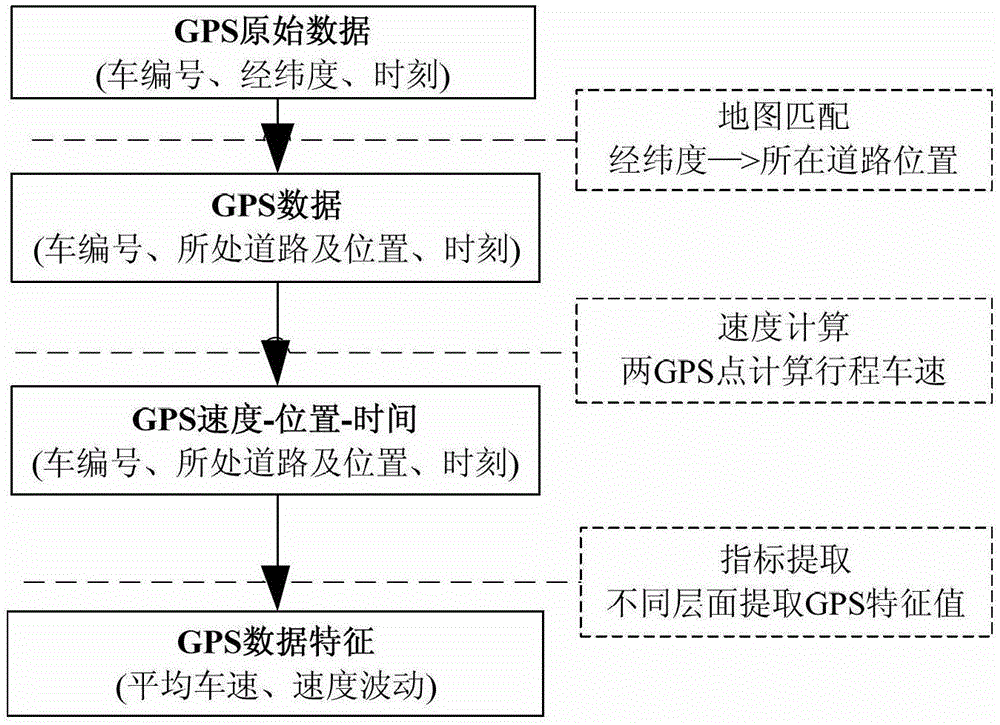
[0048] Such as figure 1 As shown, a method for processing traffic operation information of urban arterial roads based on floating car data includes the following steps:
[0049] 1) Carry out map matching on the GPS raw data sent by the floating car, match the vehicle position coordinates to the road network, obtain GPS operation data, and display the vehicle operation status on different road ...
Embodiment 2
[0053] The main steps of the urban road traffic operation characteristic analysis method based on the taxi floating car data proposed by the present invention include GPS raw data map matching, speed calculation and road traffic operation characteristic index extraction.
[0054] Referring to Table 1, the original GPS data includes the vehicle number, the time when the vehicle records GPS information, the longitude position of the vehicle and the latitude position of the vehicle;
[0055] Table 1
[0056]
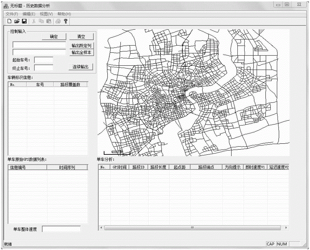
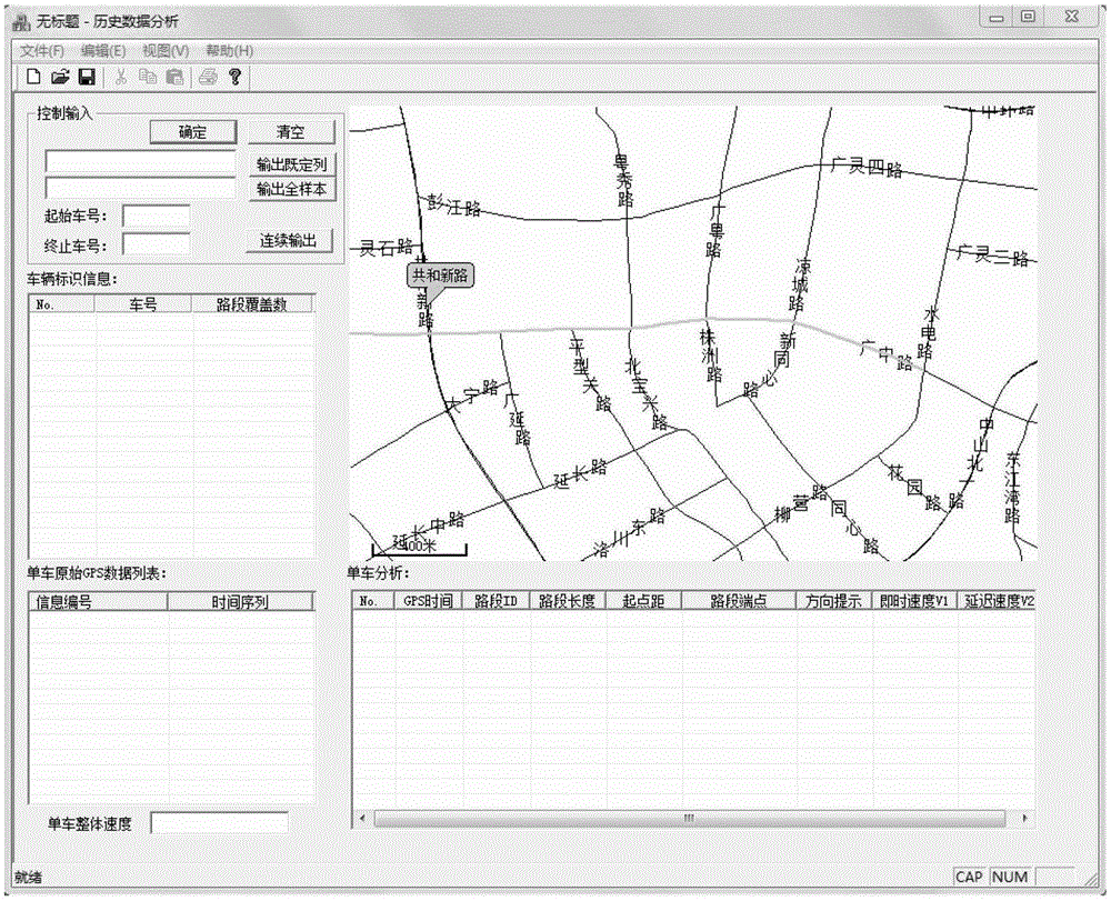
[0057] Refer to attached Figure 2~4 , open the map matching software based on Web-GIS, select the main road segment to be analyzed, check the continuity and direction consistency of the selected road segment after selection, and proceed to the next step if "Passed the integrity detection of the road segment" appears, otherwise "Clear" Select the road segment, and re-select until "Passing the road segment integrity test".
[0058] Refer to attached Figure 5-6 , open ...
PUM
 Abstract
Description
Claims
Application Information
 - R&D
- Intellectual Property
- Life Sciences
- Materials
- Tech Scout
- Unparalleled Data Quality
- Higher Quality Content
- 60% Fewer Hallucinations
Browse by: Latest US Patents, China's latest patents, Technical Efficacy Thesaurus, Application Domain, Technology Topic, Popular Technical Reports.
© 2025 PatSnap. All rights reserved.Legal|Privacy policy|Modern Slavery Act Transparency Statement|Sitemap|About US| Contact US: help@patsnap.com


