Processing method and device for adding interest point information of map to street scene images

A technology for adding and processing information, applied in the multimedia field to achieve the effect of rich information and convenient updating

Active Publication Date: 2014-08-06
TENCENT TECH (SHENZHEN) CO LTD +1
View PDF9 Cites 79 Cited by
  • Summary
  • Abstract
  • Description
  • Claims
  • Application Information

AI Technical Summary

Problems solved by technology

[0006] The purpose of this application is to overcome the defects of the prior art by manually marking POI related information on street view images, and provide a new processing method for automatically adding interest point information in maps to street view images and device

Method used


Image

  • Processing method and device for adding interest point information of map to street scene images
  • Processing method and device for adding interest point information of map to street scene images
  • Processing method and device for adding interest point information of map to street scene images

Examples


no. 1 example

[0027] Figure 4 It is a schematic flow chart of the processing method for automatically adding the POI information in the map to the street view image in the first embodiment of the present application. Such as Figure 4 As shown, the processing method of automatically adding the point of interest information in the map to the street view image in this embodiment includes:

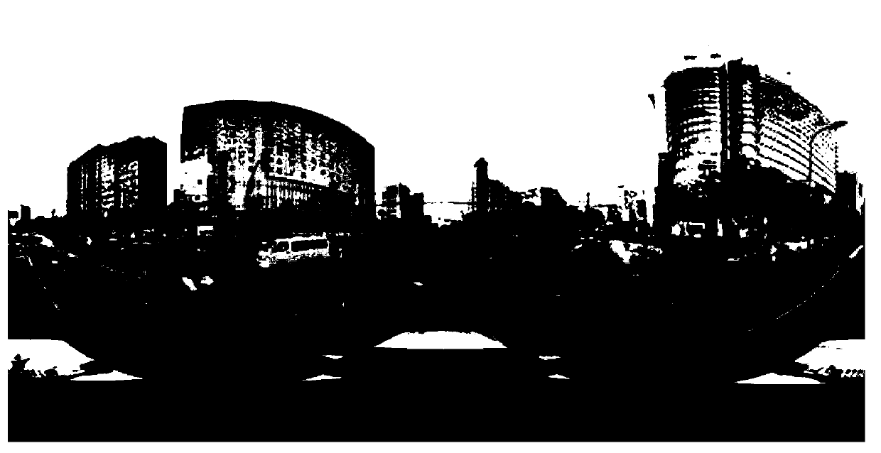
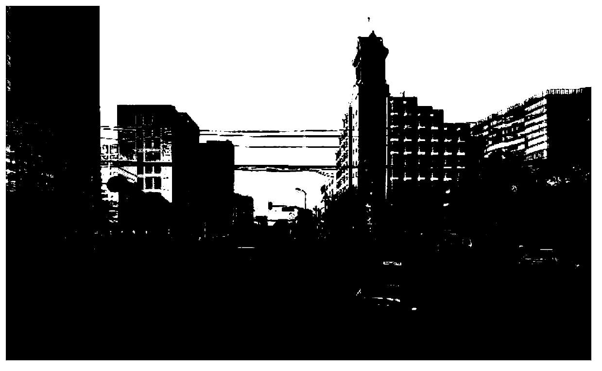
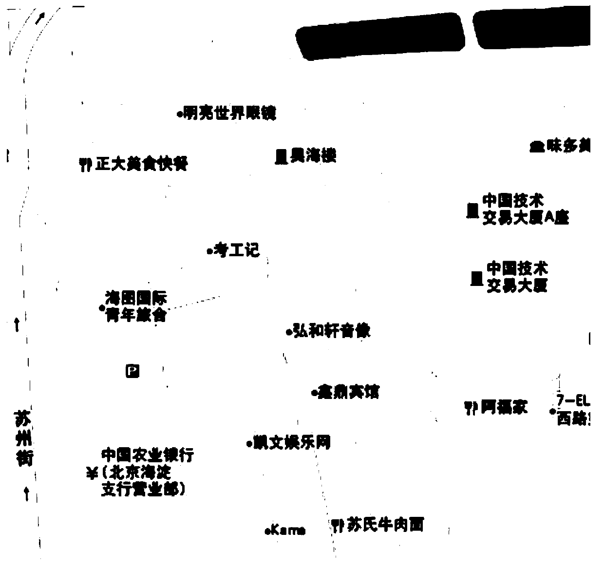
[0028] Step S11: According to the shooting location of the street view image, search and extract all interest point information within a predetermined range of the shooting location in the map.

[0029] The shooting location of the street view image refers to the geographic location information of the collection device recorded by the collection device carrying the GPS module when collecting the street view image. The predetermined shooting position range is preferably a circular area with the shooting position of the street view image as the center and a predetermined distance as the radius. The prede...

no. 2 example

[0040] Figure 6 It is a schematic flow chart of a processing method for automatically adding point-of-interest information in a map to a street view image in the second embodiment of the present application. Such as Figure 6 As shown, the processing method of automatically adding the point of interest information in the map to the street view image in this embodiment includes:

[0041] Step S21: According to the shooting location of the street view image, search and extract all interest point information within a predetermined range of the shooting location in the map.

[0042] Step S22: Judging whether the extracted POI information includes building information, if the POI information does not include building information, go to Step S23: according to the location information in the POI information, extract the POI information Projecting on the corresponding position of the street view image to form a computer identifiable mark, if the point of interest information includ...

no. 3 example

[0054] Figure 8 It is a schematic flow chart of the processing method for automatically adding the POI information in the map to the street view image in the third embodiment of the present application. Such as Figure 8 As shown, the processing method of automatically adding the point of interest information in the map to the street view image in this embodiment includes:

[0055] Step S31: According to the shooting location of the street view image, search and extract all interest point information within a predetermined range of the shooting location in the map.

[0056] Step S32: According to the location information in the POI information, project the POI on the corresponding position of the street view image and form a computer-identifiable mark.

[0057] Step S33: Add corresponding POI information tags to all computer-recognizable marks of the street view image, and the POI information tags include POI information corresponding to POIs.

[0058] Step S34: hiding the...


PUM


Abstract

The invention relates to a processing method and device for adding interest point information of a map to street scene images. The interest point information comprises position information of interest points. The method includes the steps that information of all interest points located within a shooting position preset range are found and extracted in the map according to shooting positions of the street scene images; according to the position information of the interest point information, the interest points are projected at the positions corresponding to the street scene images, and marks capable of being identified by a computer are formed; corresponding interest point information labels are added to all marks capable of being identified by the computer of the street scene images, and the interest point information labels comprise interest point information of corresponding interest points. The problems that interest point information is manually labeled and time and labor are wasted in the prior art are solved, work efficiency is improved, and information provided by the street scene images is richer.

Description

technical field [0001] The present application relates to the field of multimedia technology, in particular to a processing method and device for automatically adding information of points of interest in a map to a street view image. Background technique [0002] Nowadays, more and more web map search services tend to present street view to users as a service, and the web map page provides many entrances for street view service. When users use the map to search and query, they can easily click to enter to obtain the street view service. When the user searches for a certain place and clicks to enter the street view mode, he can see the street view display of the place and the surrounding environment. [0003] Street view display generally uses panorama technology. A panorama refers to a photo that is larger than the normal effective angle of view of the eyes (about 90 degrees horizontally, 70 degrees vertically) or the angle of vision of the peripheral vision of the eyes (a...

Claims


Application Information

Patent Timeline
Patent Type & Authority Applications(China)
IPC IPC(8): G09B29/10G06F17/30
Inventor 李成军李保利马腾
Owner TENCENT TECH (SHENZHEN) CO LTD
Why Eureka
Try Eureka