

Scanning imaging method for three-dimensional environment in vehicle-mounted two-dimensional laser movement
A two-dimensional laser, scanning imaging technology, applied in image analysis, image data processing, 3D image processing and other directions, can solve the problems of complex structure, azimuth map model can not meet the needs of practical applications and so on
- Summary
- Abstract
- Description
- Claims
- Application Information
AI Technical Summary
Problems solved by technology
Method used
Image

Examples
Embodiment Construction
[0039] The specific embodiments of the present invention are described in detail below with reference to the technical solutions and the accompanying drawings.
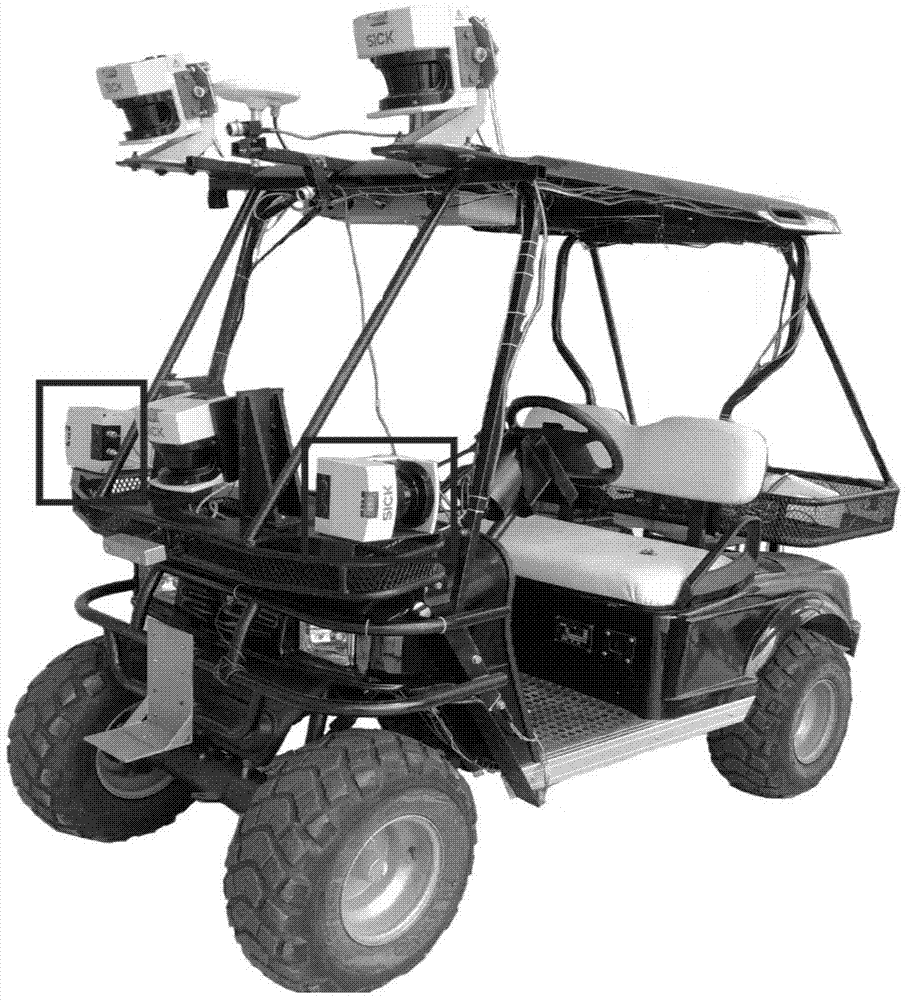
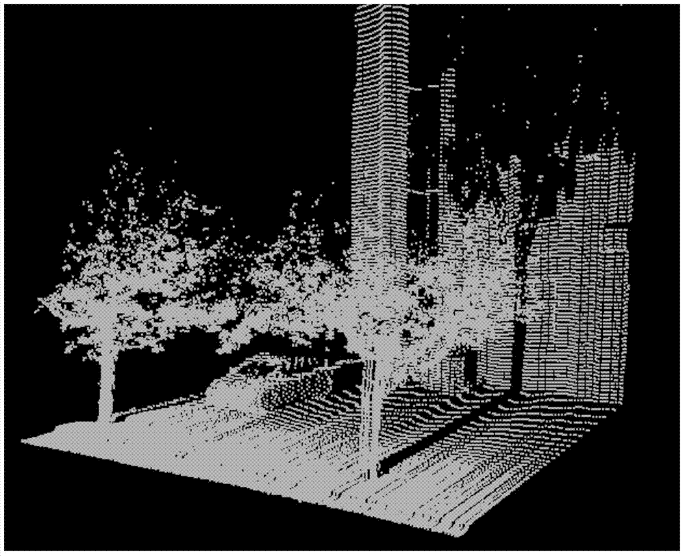
[0040] In order to verify the effectiveness of this method, the figure 1 The unmanned intelligent car in the texture-enhanced map is constructed. The laser sensor adopts SICK LMS291 laser sensor, its plane scanning angle is 0-180 degrees, and the longitudinal range is dynamically adjustable, which is divided into 8 meters, 16 meters, 32 meters (distance resolution is 1 mm), 80 meters (distance The resolution is 1 cm) four scanning ranges, and the 32-meter scanning range is used here. The positioning adopts the attitude and orientation integrated navigation system of the XW-ADU5600 model. Its heading accuracy is less than or equal to 0.2° / L (when the baseline L is less than or equal to 3 meters), the position accuracy is less than or equal to 2 meters in the horizontal direction, and the elevation direction is less th...
PUM
 Abstract
Description
Claims
Application Information