A three-dimensional environment scanning imaging method in vehicle-mounted two-dimensional laser movement
A two-dimensional laser, scanning imaging technology, applied in image analysis, image data processing, 3D image processing and other directions, can solve the problems of complex structure, azimuth map model can not meet the needs of practical applications and so on
- Summary
- Abstract
- Description
- Claims
- Application Information
AI Technical Summary
Problems solved by technology
Method used
Image
Examples
Embodiment Construction
[0039] The specific embodiments of the present invention will be described in detail below in conjunction with the technical solutions and accompanying drawings.
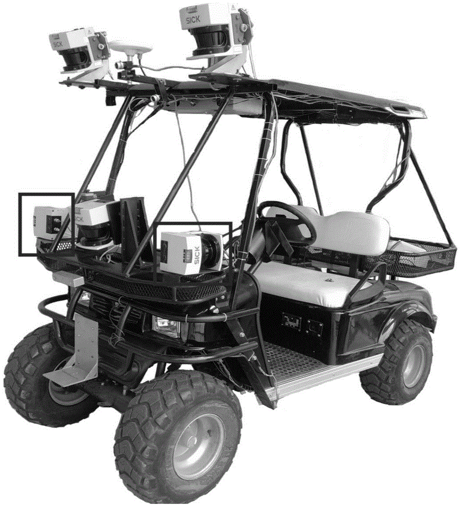
[0040] In order to verify the effectiveness of this method, the use of figure 1 The unmanned smart car in the system is used to construct the texture enhancement map. The laser sensor adopts SICK LMS 291 laser sensor, its plane scanning angle is 0-180 degrees, and the longitudinal range is dynamically adjustable, divided into 8 meters, 16 meters, 32 meters (distance resolution is 1 mm), 80 meters ( The distance resolution is 1 cm) and four scanning ranges, and the scanning range of 32 meters is used here. The positioning adopts the XW-ADU5600 model attitude and azimuth integrated navigation system, its heading accuracy is less than or equal to 0.2° / L (when the baseline L is less than or equal to 3 meters), the position accuracy is less than or equal to 2 meters in the horizontal direction, and less than or equal to...
PUM
 Abstract
Description
Claims
Application Information
 - R&D
- Intellectual Property
- Life Sciences
- Materials
- Tech Scout
- Unparalleled Data Quality
- Higher Quality Content
- 60% Fewer Hallucinations
Browse by: Latest US Patents, China's latest patents, Technical Efficacy Thesaurus, Application Domain, Technology Topic, Popular Technical Reports.
© 2025 PatSnap. All rights reserved.Legal|Privacy policy|Modern Slavery Act Transparency Statement|Sitemap|About US| Contact US: help@patsnap.com


