Coverage analysis method and system of satellite to earth

A coverage analysis and satellite technology, which is applied in the field of remote sensing satellite ground coverage analysis, and can solve the problems of inability to meet remote sensing satellite resources, low calculation accuracy, and large computer resources.

Inactive Publication Date: 2017-03-01
INST OF REMOTE SENSING & DIGITAL EARTH CHINESE ACADEMY OF SCI
View PDF2 Cites 20 Cited by
  • Summary
  • Abstract
  • Description
  • Claims
  • Application Information

AI Technical Summary

Problems solved by technology

Fast and accurate ground coverage analysis and calculation of remote sensing satellites is particularly important. However, traditional analytical and numerical calculation methods often have disadvantages such as low calculation accuracy, large computer

Method used


Image

  • Coverage analysis method and system of satellite to earth

Examples


Embodiment Construction

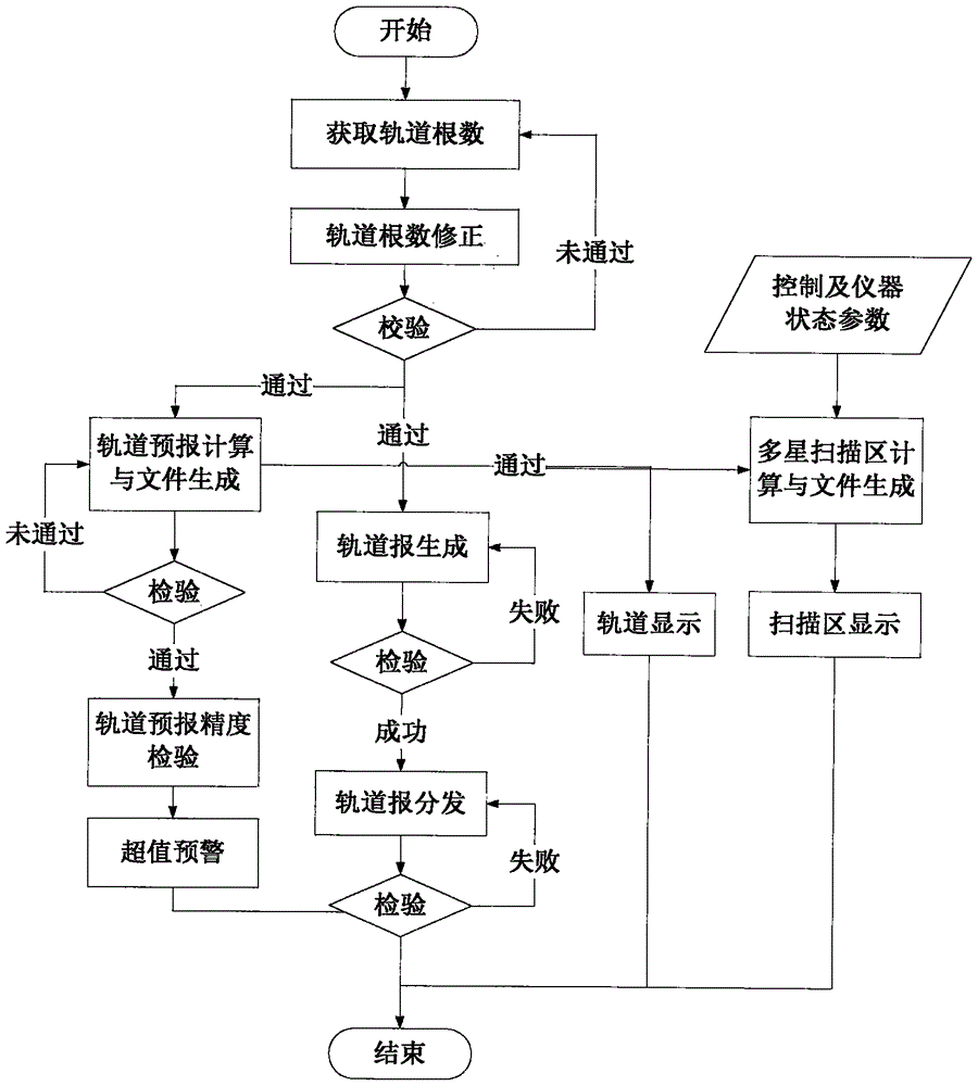
[0032] The present invention provides a satellite-to-ground coverage analysis method and system. In order to make the objectives, technical solutions and effects of the present invention clearer and clearer, the present invention will be described in further detail below. It should be understood that the specific embodiments described here are only used to explain the present invention, but not to limit the present invention.

[0033] A satellite ground coverage analysis method. Specifically, the method performs remote sensing satellite ground coverage analysis based on geometric topology and numerical analysis, and specifically includes the following steps:

[0034] (1) Determine the coverage area to be analyzed, the orbital parameters of the available satellites, and the types of sensors and imaging methods carried on the available satellites;

[0035] (2) Using geometric topology to divide the coverage area to be analyzed into grids of equal area;

[0036] (3) Perform time period a...


PUM


Abstract

The invention discloses a remote satellite coverage analysis method. The method comprises the steps of firstly, determining a simulation region range during solving satellite coverage characteristic, wherein an orbital parameter of a satellite and types and imaging modes of sensors carried on the satellite can be used; secondly, dividing the simulation region range into lattices with equal area by a geometric topology; and finally, dividing satellite coverage characteristic analysis into two types of problems: satellite coverage characteristic analysis (time period analysis) within a stipulated time period and satellite coverage characteristic analysis (full coverage analysis) of the completely-covered analysis region, and displaying the satellite coverage characteristic through two-dimensional visualization. By the remote satellite coverage analysis method, multi-satellite networking and high-space multidate observation can be satisfied, and a high-accuracy coverage characteristic report is provided within a short time.

Description

Technical field [0001] The invention relates to the field of sensor imaging, in particular to a remote sensing satellite ground coverage analysis method. Background technique [0002] With the increasing application of remote sensing data in various fields, the number of remote sensing satellites at home and abroad has also developed rapidly in recent years. How to select fast and effective application resources from a large number of remote sensing satellites has become one of the current remote sensing applications. Big problem. Fast and accurate remote sensing satellite ground coverage analysis and calculation are particularly important, while traditional analytical methods and numerical calculation methods often have disadvantages such as low calculation accuracy, large computer resources, inability to calculate overlap, and simultaneous analysis of multiple satellites. The application requirements of remote sensing satellite resource screening in specific complex polygonal ...

Claims


Application Information

Patent Timeline
IPC IPC(8): G06F19/00
Inventor 顾行发余涛林英豪胡新礼王更科李娟吴晓洋
Owner INST OF REMOTE SENSING & DIGITAL EARTH CHINESE ACADEMY OF SCI
Why Eureka
Try Eureka