Method of discovering zones of different functions based on point of interest data

A technology for city function and data identification, which is applied in the field of big data analysis and can solve problems such as difficulty in obtaining data

Active Publication Date: 2017-03-15
HUZHOU TEACHERS COLLEGE
View PDF5 Cites 22 Cited by
  • Summary
  • Abstract
  • Description
  • Claims
  • Application Information

AI Technical Summary

Problems solved by technology

[0006] In addition, POI data includes comprehensive types, involves all levels,

Method used


Image

  • Method of discovering zones of different functions based on point of interest data
  • Method of discovering zones of different functions based on point of interest data
  • Method of discovering zones of different functions based on point of interest data

Examples


Embodiment Construction

[0041] As shown in the figure, a method for identifying urban functional areas based on POI data includes the following steps:

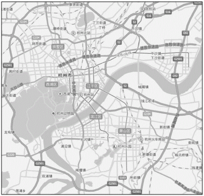
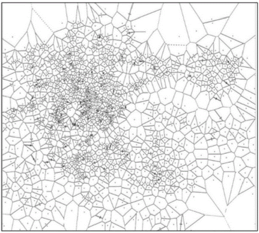
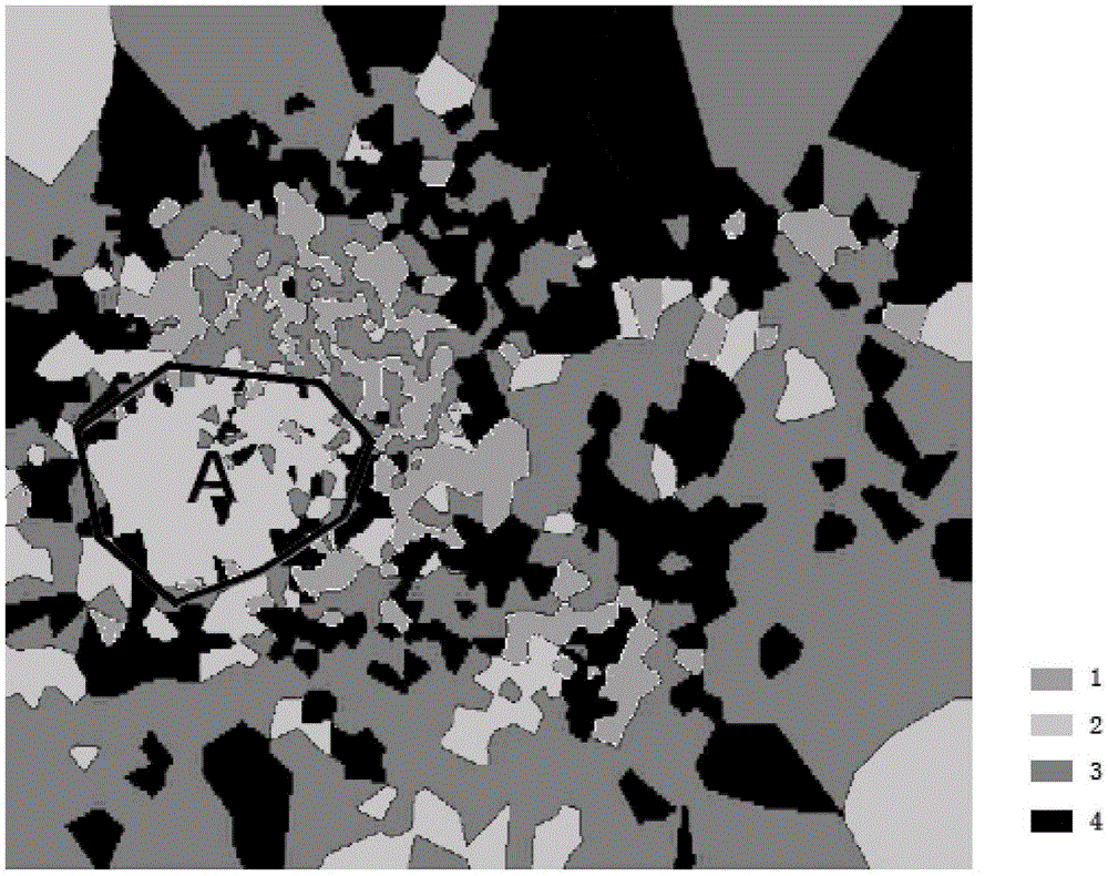
[0042] Step 1. Map segmentation: Rasterize the map and number all the grids; segment the map according to the location of the mobile phone base station, calculate the distance between each grid and the base station, and stipulate that the grid belongs to the nearest base station to obtain the distance A list of the grid numbers closest to each base station, and a matrix G of the grid numbers occupied by each base station; use the method of finding the nearest base station to the grid to segment the map using the location of the mobile phone base station.

[0043]Step 2. Find the base station to which the point of interest belongs: find the base station closest to the point of interest, and determine that the point of interest belongs to the base station, and obtain a list of all points of interest belonging to each base station;

[0044] Step 3. Calc...


PUM


Abstract

The invention provides a method of discovering zones of different functions based on point of interest data. The method comprises a step 1, map segmentation: map rasterization; a step 2, searching of a base station of a point of interest: the finding of the base station closest to the point of interest; step 3, the calculation of the distribution features of the points of interest of the various base stations; a step 4, clustering: execution of fuzzy clustering analysis of a matrix in the step 3 to acquire different clustering results; a step 5, discovering of zones of different functions: the calculation of the distribution overlap of the points of interests having category features and the different clustering results acquired in the step 4 in order to discover the base stations after the clustering. The method of discovering the zones of the different functions based on the point of interest data is advantageous in that the zones of the different functions such as tourist zones, working zones, and residential zones are discovered, and results are basically in accordance with reality, and effect is completed in a conclusive way.

Description

technical field [0001] The invention relates to the field of big data analysis, in particular to a method for identifying urban functional areas based on point of interest data. Background technique [0002] With the rapid development of the economy, a series of urban problems have come one after another, especially for some provincial capital cities or metropolises, the urban problems are particularly serious. "Urban disease" is the result of urbanization in developing countries, manifested in traffic congestion, housing shortage, insufficient water supply, energy shortage, environmental degradation, employment difficulties, etc., which has caused a burden to the city and even restricted the development of the city. It is also easy to cause physical and mental diseases of citizens. [0003] In recent years, some experts and scholars have used various heterogeneous big data for "urban computing" to solve the problems caused by urbanization. Urban computing is an interdisci...

Claims


Application Information

Patent Timeline
IPC IPC(8): G06K9/34G06K9/46G06K9/62
CPCG06V10/267G06V10/464G06F18/23
Inventor 蒋云良董墨萱刘勇
Owner HUZHOU TEACHERS COLLEGE
Why Eureka
Try Eureka